121 High St Maceo, KY 42355
Maceo NeighborhoodEstimated Value: $108,833 - $168,000
2
Beds
1
Bath
1,088
Sq Ft
$131/Sq Ft
Est. Value
About This Home
This home is located at 121 High St, Maceo, KY 42355 and is currently estimated at $142,458, approximately $130 per square foot. 121 High St is a home with nearby schools including East View Elementary School, Daviess County Middle School, and Daviess County High School.
Ownership History
Date
Name
Owned For
Owner Type
Purchase Details
Closed on
Dec 29, 2022
Sold by
Christianson Leslie and Christianson Judy
Bought by
Hall David and Hall Samantha
Current Estimated Value
Home Financials for this Owner
Home Financials are based on the most recent Mortgage that was taken out on this home.
Original Mortgage
$40,000
Outstanding Balance
$19,342
Interest Rate
5.42%
Mortgage Type
New Conventional
Estimated Equity
$123,116
Create a Home Valuation Report for This Property
The Home Valuation Report is an in-depth analysis detailing your home's value as well as a comparison with similar homes in the area
Home Values in the Area
Average Home Value in this Area
Purchase History
| Date | Buyer | Sale Price | Title Company |
|---|---|---|---|
| Hall David | $50,000 | Regional Land Title | |
| Boehman William M | $47,000 | -- |
Source: Public Records
Mortgage History
| Date | Status | Borrower | Loan Amount |
|---|---|---|---|
| Open | Hall David | $40,000 |
Source: Public Records
Tax History Compared to Growth
Tax History
| Year | Tax Paid | Tax Assessment Tax Assessment Total Assessment is a certain percentage of the fair market value that is determined by local assessors to be the total taxable value of land and additions on the property. | Land | Improvement |
|---|---|---|---|---|
| 2025 | $515 | $50,000 | $0 | $0 |
| 2024 | $527 | $50,000 | $0 | $0 |
| 2023 | $550 | $50,000 | $0 | $0 |
| 2022 | $242 | $60,400 | $0 | $0 |
| 2021 | $100 | $47,000 | $0 | $0 |
| 2020 | $113 | $47,000 | $0 | $0 |
| 2019 | $111 | $47,000 | $0 | $0 |
| 2018 | $1,067 | $47,000 | $0 | $0 |
| 2017 | $466 | $40,600 | $0 | $0 |
| 2016 | $441 | $40,600 | $0 | $0 |
| 2015 | -- | $40,600 | $0 | $0 |
| 2014 | -- | $40,600 | $0 | $0 |
Source: Public Records
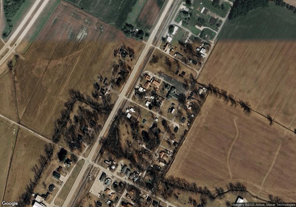
Map
Nearby Homes
- 8969 Cr-1072m
- 1084 Pleasure Point E
- 7815 Kentucky 2830
- 7912 Kentucky 405
- 330 N Chestnut Grove Rd
- 6201 Kentucky 405
- 165 E Gentry St
- 0 S 600 Rd Unit 202547130
- 411 Elm St
- 357 S 6th St
- 167 Irene Ave
- 516 Washington St
- 75 W Grissom Ave
- 604 Elm St
- 615 Washington St
- 615 Williamson St
- 113 N Lincoln Ave
- 6217 Sullivan Loop
- 216 N Lincoln Ave
- 606 Lincoln St
- 129 High St
- 136 High St
- 132 High St
- 130 Church Ln
- 9322 Railroad St
- 110 High St
- 9275 Kelly Cemetery Rd
- 9209 State Route 2830
- 9219 State Route 2830
- 9229 State Route 2830
- 9261 Kelly Cemetery Rd
- 9249 Kelly Cemetery Rd
- 57 High St
- 9245 Kelly Cemetery Rd
- 9266 Kelly Cemetery Rd
- 68 High St
- 9330 Kelly Cemetery Rd
- 9239 Kelly Cemetery Rd
- 9336 Kelly Cemetery Rd
- 9355 State Route 2830