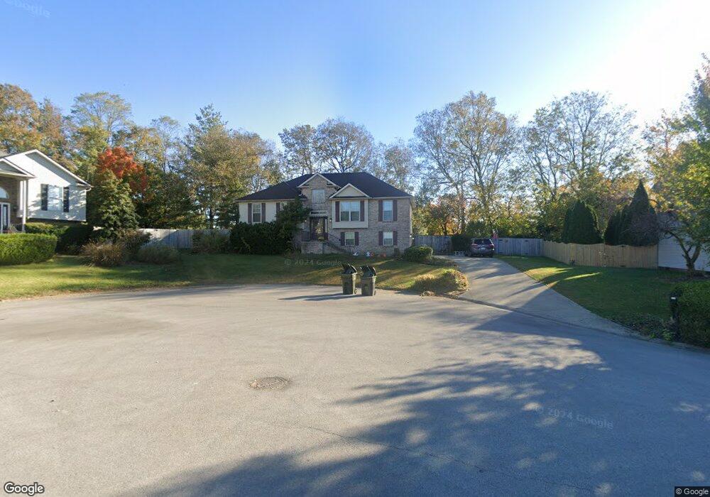
121 Josie Trail Georgetown, KY 40324
South Scott County NeighborhoodEstimated Value: $312,000 - $356,269
4
Beds
3
Baths
2,439
Sq Ft
$136/Sq Ft
Est. Value
About This Home
This home is located at 121 Josie Trail, Georgetown, KY 40324 and is currently estimated at $331,067, approximately $135 per square foot. 121 Josie Trail is a home located in Scott County with nearby schools including Garth Elementary School, Georgetown Middle School, and Scott County High School.
Ownership History
Date
Name
Owned For
Owner Type
Purchase Details
Closed on
Sep 11, 2018
Sold by
Cain Tracy L
Bought by
Cain Jared A and Cain Emily M
Current Estimated Value
Home Financials for this Owner
Home Financials are based on the most recent Mortgage that was taken out on this home.
Original Mortgage
$131,313
Outstanding Balance
$113,581
Interest Rate
4.6%
Mortgage Type
New Conventional
Estimated Equity
$217,486
Create a Home Valuation Report for This Property
The Home Valuation Report is an in-depth analysis detailing your home's value as well as a comparison with similar homes in the area
Home Values in the Area
Average Home Value in this Area
Purchase History
| Date | Buyer | Sale Price | Title Company |
|---|---|---|---|
| Cain Jared A | $165,000 | None Available |
Source: Public Records
Mortgage History
| Date | Status | Borrower | Loan Amount |
|---|---|---|---|
| Open | Cain Jared A | $131,313 |
Source: Public Records
Tax History
| Year | Tax Paid | Tax Assessment Tax Assessment Total Assessment is a certain percentage of the fair market value that is determined by local assessors to be the total taxable value of land and additions on the property. | Land | Improvement |
|---|---|---|---|---|
| 2025 | $2,756 | $309,400 | $0 | $0 |
| 2024 | $2,384 | $265,100 | $0 | $0 |
| 2023 | $2,331 | $257,100 | $50,000 | $207,100 |
| 2022 | $2,017 | $237,200 | $47,500 | $189,700 |
| 2021 | $2,085 | $221,300 | $47,500 | $173,800 |
| 2020 | $1,751 | $203,800 | $47,500 | $156,300 |
| 2019 | $1,779 | $203,800 | $0 | $0 |
| 2018 | $1,736 | $199,991 | $0 | $0 |
| 2017 | $1,744 | $199,991 | $0 | $0 |
| 2016 | $1,578 | $196,000 | $0 | $0 |
| 2015 | $1,568 | $196,000 | $0 | $0 |
| 2014 | $1,625 | $196,000 | $0 | $0 |
| 2011 | $122 | $196,000 | $0 | $0 |
Source: Public Records
Map
Nearby Homes
- 111 Hillside Dr
- 110 Hannsons Path
- 102 Hansons Path
- 1010 Walker Way
- 208 Montgomery Ave
- 131 Spring Bluff Dr
- 402 Hiawatha Trail
- 110 Sea Pines Way
- 120 Amen Corner Way
- 98 Delissa Dr
- 206 Hiawatha Trail
- 305 Glass Cir
- 149 McClelland Springs Dr
- 232 W Showalter Dr
- 251 W Showalter Dr
- 113 Walden Cove Unit 3I
- 135 Shinnecock Hill Dr
- 164 Stapleton Way
- 306 N Water St
- 111 E College St
- 123 Josie Trail
- 115 Springside Ave
- 121 Springside Ave
- 113 Springside Ave
- 100 Mary Bourne Dr
- 117 Josie Trail
- 111 Springside Ave
- 1100 W Main St
- 108 Springside Ave
- 110 Springside Ave
- 106 Springside Ave
- 127 Springside Ave
- 112 Springside Ave
- 102 Mary Bourne Dr
- 114 Josie Trail
- 109 Springside Ave
- 104 Springside Ave
- 115 Josie Trail
- 101 Lee Dr
- 114 Springside Ave
Your Personal Tour Guide
Ask me questions while you tour the home.