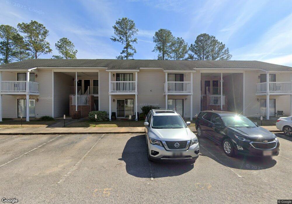
121 Lakeland Cir Unit A1 Santee, SC 29142
Estimated Value: $91,000 - $208,000
2
Beds
1
Bath
607
Sq Ft
$234/Sq Ft
Est. Value
About This Home
This home is located at 121 Lakeland Cir Unit A1, Santee, SC 29142 and is currently estimated at $141,788, approximately $233 per square foot. 121 Lakeland Cir Unit A1 is a home located in Orangeburg County with nearby schools including Elloree Elementary School, Elloree Elementary, and Lake Marion High School.
Ownership History
Date
Name
Owned For
Owner Type
Purchase Details
Closed on
Oct 18, 2021
Sold by
Mclain Iii Charles L
Bought by
Desai Jigneshkumar N
Current Estimated Value
Purchase Details
Closed on
Oct 30, 2007
Sold by
Mclain Properties Llc
Bought by
Mclain Charles L
Purchase Details
Closed on
Aug 30, 2005
Sold by
Lexus Builders Llc
Bought by
Mclain Properties Llc
Create a Home Valuation Report for This Property
The Home Valuation Report is an in-depth analysis detailing your home's value as well as a comparison with similar homes in the area
Home Values in the Area
Average Home Value in this Area
Purchase History
| Date | Buyer | Sale Price | Title Company |
|---|---|---|---|
| Desai Jigneshkumar N | $59,000 | None Listed On Document | |
| Mclain Charles L | -- | Attorney | |
| Mclain Properties Llc | $95,000 | -- | |
| Lexus Builders Llc | $1,325,000 | -- |
Source: Public Records
Mortgage History
| Date | Status | Borrower | Loan Amount |
|---|---|---|---|
| Closed | Mclain Charles L | -- |
Source: Public Records
Tax History Compared to Growth
Tax History
| Year | Tax Paid | Tax Assessment Tax Assessment Total Assessment is a certain percentage of the fair market value that is determined by local assessors to be the total taxable value of land and additions on the property. | Land | Improvement |
|---|---|---|---|---|
| 2024 | $985 | $2,060 | $0 | $2,060 |
| 2023 | $986 | $1,788 | $0 | $1,788 |
| 2022 | $971 | $1,788 | $0 | $1,788 |
| 2021 | $971 | $1,788 | $0 | $1,788 |
| 2020 | $914 | $1,788 | $0 | $0 |
| 2019 | $891 | $1,788 | $0 | $0 |
| 2018 | $1,522 | $2,802 | $0 | $0 |
| 2017 | $1,519 | $2,802 | $0 | $0 |
| 2016 | $1,509 | $2,802 | $0 | $0 |
| 2015 | $1,482 | $2,802 | $0 | $0 |
| 2014 | $1,482 | $2,802 | $0 | $2,802 |
| 2013 | $2,117 | $0 | $0 | $0 |
Source: Public Records
Map
Nearby Homes
- 338 Picard Loop
- 342 Picard Loop
- 733 Striped Bass Ct
- 752 Striped Bass Ct
- BRANDON Plan at Center Pointe
- HELENA Plan at Center Pointe
- 908 Bream Cir
- Cali Plan at Center Pointe
- SULLIVAN Plan at Center Pointe
- 728 Striped Bass Ct
- RACHEL Plan at Center Pointe
- 780 Striped Bass Ct
- 753 Striped Bass Ct
- Nassau Cove Plan at Chapel Branch
- 621 Perch Ln
- 625 Perch Ln
- 175 William Clark Blvd
- 701 Striped Bass Ct
- 637 Perch Ln
- 657 Perch Ln
- 121 Lakeland Cir Unit A5
- 121 Lakeland Cir Unit B8
- 121 Lakeland Cir Unit B8
- 121 Lakeland Cir Unit B7
- 121 Lakeland Cir
- 121 Lakeland Cir Unit B4
- C2 Lakeland Circle C2
- 8783 Old Number Six Hwy
- 2 Lakeland Cir
- 7 Lakeland Cir
- 306 Picard Loop
- 8779 Old Number Six Hwy
- 8779 Old Highway Number Six Hwy
- 304 Picard Loop
- 340 Picard Loop
- UNIT B4 Lakeland Cir
- 133 William Clark Blvd
- 176 William Clark Blvd
- 1 Old Number Six Hwy
- 117 Oxbow Dr