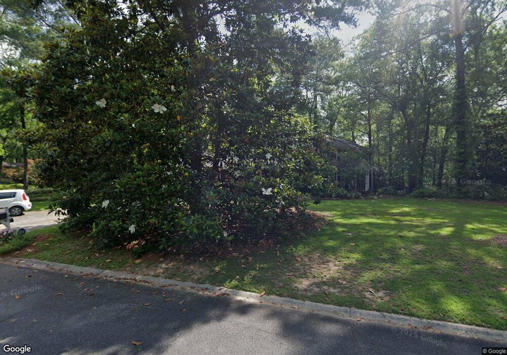
121 Lullworth Cove Macon, GA 31210
Estimated Value: $350,000 - $448,000
4
Beds
4
Baths
3,858
Sq Ft
$102/Sq Ft
Est. Value
About This Home
This home is located at 121 Lullworth Cove, Macon, GA 31210 and is currently estimated at $394,620, approximately $102 per square foot. 121 Lullworth Cove is a home located in Bibb County with nearby schools including Carter Elementary School, Howard Middle School, and Howard High School.
Ownership History
Date
Name
Owned For
Owner Type
Purchase Details
Closed on
Feb 20, 2022
Sold by
Nathanial Walker
Bought by
Colvin Verda M
Current Estimated Value
Purchase Details
Closed on
May 30, 2007
Sold by
Mayfield David C
Bought by
Colvin Verda M
Home Financials for this Owner
Home Financials are based on the most recent Mortgage that was taken out on this home.
Original Mortgage
$217,500
Interest Rate
6.12%
Mortgage Type
Unknown
Create a Home Valuation Report for This Property
The Home Valuation Report is an in-depth analysis detailing your home's value as well as a comparison with similar homes in the area
Home Values in the Area
Average Home Value in this Area
Purchase History
| Date | Buyer | Sale Price | Title Company |
|---|---|---|---|
| Colvin Verda M | -- | None Listed On Document | |
| Colvin Verda M | $290,000 | None Available |
Source: Public Records
Mortgage History
| Date | Status | Borrower | Loan Amount |
|---|---|---|---|
| Previous Owner | Colvin Verda M | $217,500 | |
| Previous Owner | Colvin Verda M | $72,500 |
Source: Public Records
Tax History Compared to Growth
Tax History
| Year | Tax Paid | Tax Assessment Tax Assessment Total Assessment is a certain percentage of the fair market value that is determined by local assessors to be the total taxable value of land and additions on the property. | Land | Improvement |
|---|---|---|---|---|
| 2025 | $2,689 | $116,418 | $15,120 | $101,298 |
| 2024 | $2,779 | $116,418 | $15,120 | $101,298 |
| 2023 | $1,993 | $121,734 | $15,120 | $106,614 |
| 2022 | $3,247 | $100,800 | $12,731 | $88,069 |
| 2021 | $3,564 | $100,800 | $12,731 | $88,069 |
| 2020 | $3,531 | $115,227 | $12,731 | $102,496 |
| 2019 | $3,996 | $109,092 | $11,458 | $97,634 |
| 2018 | $6,300 | $109,092 | $11,458 | $97,634 |
| 2017 | $3,592 | $102,875 | $12,927 | $89,948 |
| 2016 | $3,317 | $102,876 | $12,927 | $89,948 |
| 2015 | $5,072 | $110,568 | $16,159 | $94,408 |
| 2014 | $5,885 | $110,568 | $16,159 | $94,408 |
Source: Public Records
Map
Nearby Homes
- 5181 Zebulon Rd
- 311 Castlegate Rd
- 111 the Vinings
- 331 Marjane Dr
- 105 N Wellington
- 107 N Wellington
- 112 Covington Place
- 133 Covington Place
- 218 Matlock Ln
- 4939 Guerry Dr
- 106 Trillium Terrace
- 670 Middlesex Dr
- 131 Ashford Park
- 757 Silver Springs Dr
- 200 Stone Edge Rd
- 5104 Pine Ridge Dr
- 118 Ashford Park
- 137 Senora Place
- 163 Broadleaf Dr
- 154 Arlington Row
- 143 Lullworth Cove
- 130 Arlington Row
- 131 Arlington Row
- 176 Arlington Row
- 145 Arlington Row
- 167 Lullworth Cove
- 148 Lullworth Cove
- 157 Arlington Row
- 188 Arlington Row
- 119 Arlington Row
- 122 Arlington Row
- 165 Arlington Row
- 5189 Zebulon Rd
- 107 Arlington Row
- 116 Arlington Row
- 199 Tattershall Ct
- 196 Arlington Row
- 160 Tennyson Trail
- 187 Arlington Row