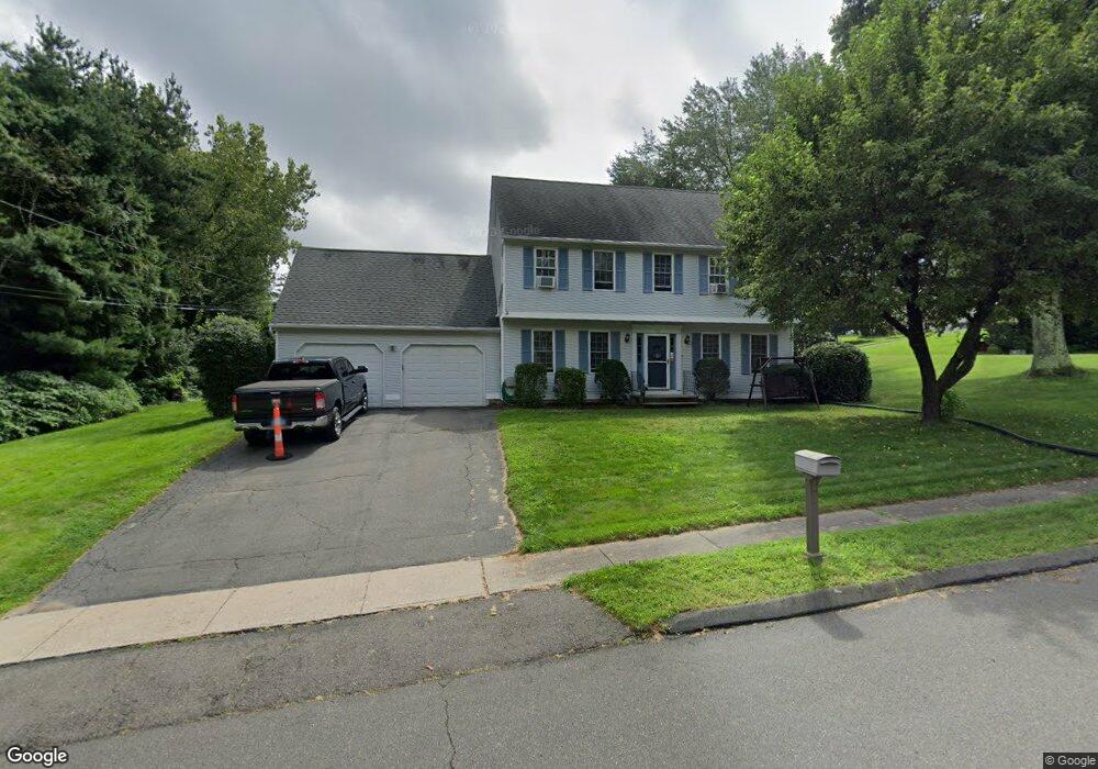
121 Marlene St Bristol, CT 06010
North Bristol NeighborhoodEstimated Value: $432,000 - $496,000
3
Beds
3
Baths
1,800
Sq Ft
$255/Sq Ft
Est. Value
About This Home
This home is located at 121 Marlene St, Bristol, CT 06010 and is currently estimated at $458,349, approximately $254 per square foot. 121 Marlene St is a home located in Hartford County with nearby schools including West Bristol Sch, Bristol Central High School, and St. Joseph School.
Ownership History
Date
Name
Owned For
Owner Type
Purchase Details
Closed on
May 28, 2004
Sold by
Reval Craig A
Bought by
Smoloski Brain L and Smoloski Michelle L
Current Estimated Value
Home Financials for this Owner
Home Financials are based on the most recent Mortgage that was taken out on this home.
Original Mortgage
$200,000
Interest Rate
5.88%
Purchase Details
Closed on
May 6, 1988
Sold by
Jacobs Dennis
Bought by
Reval Carig A
Create a Home Valuation Report for This Property
The Home Valuation Report is an in-depth analysis detailing your home's value as well as a comparison with similar homes in the area
Home Values in the Area
Average Home Value in this Area
Purchase History
| Date | Buyer | Sale Price | Title Company |
|---|---|---|---|
| Smoloski Brain L | $267,500 | -- | |
| Reval Carig A | $214,000 | -- |
Source: Public Records
Mortgage History
| Date | Status | Borrower | Loan Amount |
|---|---|---|---|
| Open | Reval Carig A | $180,450 | |
| Closed | Reval Carig A | $200,000 | |
| Previous Owner | Reval Carig A | $17,000 |
Source: Public Records
Tax History
| Year | Tax Paid | Tax Assessment Tax Assessment Total Assessment is a certain percentage of the fair market value that is determined by local assessors to be the total taxable value of land and additions on the property. | Land | Improvement |
|---|---|---|---|---|
| 2025 | $8,054 | $238,630 | $54,950 | $183,680 |
| 2024 | $7,600 | $238,630 | $54,950 | $183,680 |
| 2023 | $7,242 | $238,630 | $54,950 | $183,680 |
| 2022 | $6,711 | $175,000 | $42,910 | $132,090 |
| 2021 | $6,711 | $175,000 | $42,910 | $132,090 |
| 2020 | $6,711 | $175,000 | $42,910 | $132,090 |
| 2019 | $6,659 | $175,000 | $42,910 | $132,090 |
| 2018 | $6,454 | $175,000 | $42,910 | $132,090 |
| 2017 | $6,189 | $171,780 | $58,380 | $113,400 |
| 2016 | $6,189 | $171,780 | $58,380 | $113,400 |
| 2015 | $5,945 | $171,780 | $58,380 | $113,400 |
| 2014 | $5,945 | $171,780 | $58,380 | $113,400 |
Source: Public Records
Map
Nearby Homes
- 83 Lardner Rd
- 35 Lardner Rd
- 380 Burlington Ave
- 79 N Pond St
- 0 Hart St Unit 170255530
- 62 (Lot 13-1) James P Casey Rd
- 38 Eastwood Rd
- 19 Woodside Way
- 209 Ashley Rd
- 0 Fairlawn St
- 40 Matthews St Unit 30
- 40 Matthews St Unit TRLR 19
- 52 Irving St Unit 2
- 354 Maple Ave
- 22 Ingraham St
- 1970 Perkins St
- 1 Hickory St
- 439 James P Casey Rd
- 17 Grove St Unit 3RD
- 35 James P Casey Rd
Your Personal Tour Guide
Ask me questions while you tour the home.