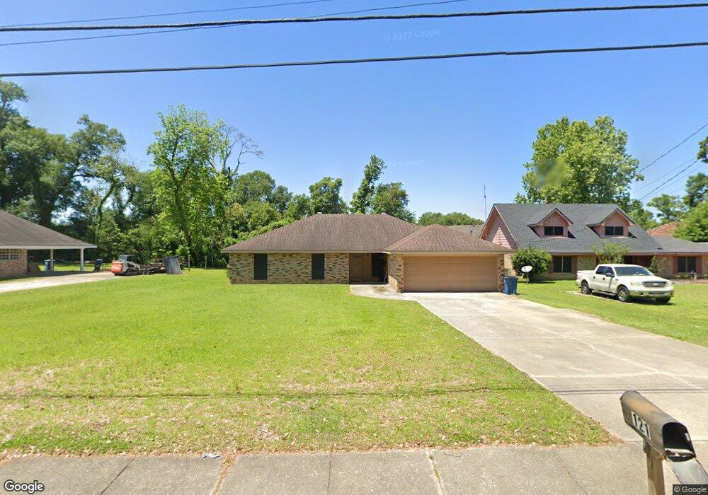
121 Michael Allen Blvd Lafayette, LA 70501
River Oaks NeighborhoodEstimated Value: $158,000 - $222,000
--
Bed
--
Bath
--
Sq Ft
0.38
Acres
About This Home
This home is located at 121 Michael Allen Blvd, Lafayette, LA 70501 and is currently estimated at $187,593. 121 Michael Allen Blvd is a home located in Lafayette Parish with nearby schools including Sylvester, Dr. Raphael A. Baranco Elementary School, and Paul Breaux Middle School.
Ownership History
Date
Name
Owned For
Owner Type
Purchase Details
Closed on
Apr 22, 2013
Sold by
Ledet Herman Junes and Ledet Danielle Patrice Francis
Bought by
Ledet Dominick James
Current Estimated Value
Home Financials for this Owner
Home Financials are based on the most recent Mortgage that was taken out on this home.
Original Mortgage
$80,000
Outstanding Balance
$56,673
Interest Rate
3.55%
Mortgage Type
New Conventional
Estimated Equity
$130,920
Create a Home Valuation Report for This Property
The Home Valuation Report is an in-depth analysis detailing your home's value as well as a comparison with similar homes in the area
Home Values in the Area
Average Home Value in this Area
Purchase History
| Date | Buyer | Sale Price | Title Company |
|---|---|---|---|
| Ledet Dominick James | $100,000 | None Available |
Source: Public Records
Mortgage History
| Date | Status | Borrower | Loan Amount |
|---|---|---|---|
| Open | Ledet Dominick James | $80,000 |
Source: Public Records
Tax History Compared to Growth
Tax History
| Year | Tax Paid | Tax Assessment Tax Assessment Total Assessment is a certain percentage of the fair market value that is determined by local assessors to be the total taxable value of land and additions on the property. | Land | Improvement |
|---|---|---|---|---|
| 2024 | $1,386 | $13,176 | $1,700 | $11,476 |
| 2023 | $1,386 | $12,630 | $1,700 | $10,930 |
| 2022 | $1,322 | $12,630 | $1,700 | $10,930 |
| 2021 | $1,326 | $12,630 | $1,700 | $10,930 |
| 2020 | $1,322 | $12,630 | $1,700 | $10,930 |
| 2019 | $1,041 | $12,630 | $1,700 | $10,930 |
| 2018 | $1,289 | $12,630 | $1,700 | $10,930 |
| 2017 | $1,287 | $12,630 | $1,700 | $10,930 |
| 2015 | $1,265 | $12,430 | $1,500 | $10,930 |
| 2013 | -- | $12,430 | $1,500 | $10,930 |
Source: Public Records
Map
Nearby Homes
- 220 Attakapas Rd
- 404 Attakapas Rd
- 00 E SiMcOe St
- 210 Lilly St
- 130 Champagne St
- 144 Champagne St
- 113 Dorian Dr
- 3605 E SiMcOe St
- 2100 Blk E Pinhook Rd
- 2200 Blk E Pinhook Rd
- 102 Rimwood Ave
- 121 Oakforest Dr
- 109 Plaquemine Rd
- 1300 S Orange St
- 113 Texas St
- 218 Frank St Unit A & B
- 3500 E SiMcOe St Unit 62
- 3500 E SiMcOe St Unit 33
- 308 Sunnyside Ln
- 1205 12th St
- 123 Michael Allen Blvd
- 120 Michael Allen Blvd
- 125 Michael Allen Blvd
- 117 Michael Allen Blvd
- 118 Michael Allen Blvd
- 122 Michael Allen Blvd
- 124 Michael Allen Blvd
- 116 Michael Allen Blvd
- 127 Michael Allen Blvd
- 115 Michael Allen Blvd
- 121 Shadycrest Ave
- 119 Shadycrest Ave
- 123 Shadycrest Ave
- 117 Shadycrest Ave
- 126 Michael Allen Blvd
- 125 Shadycrest Ave
- 113 Michael Allen Blvd
- 114 Michael Allen Blvd
- 127 Shadycrest Ave
- 113 Shadycrest Ave