121 N 7th St Salina, KS 67401
--
Bed
4
Baths
2,500
Sq Ft
3,049
Sq Ft Lot
About This Home
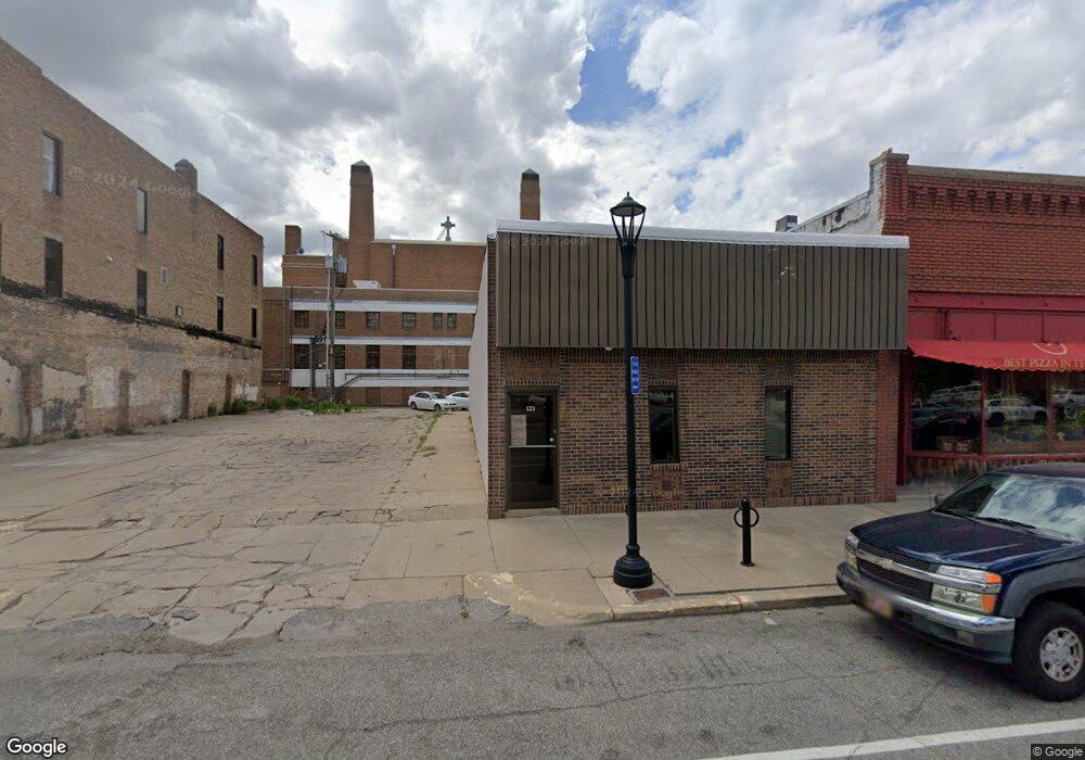
This home is located at 121 N 7th St, Salina, KS 67401. 121 N 7th St is a home located in Saline County with nearby schools including Oakdale Elementary School, Lakewood Middle School, and Salina High School Central.
Ownership History
Date
Name
Owned For
Owner Type
Purchase Details
Closed on
Aug 31, 2021
Sold by
Huehl Daniel J and Huehl Sheila
Bought by
Prc North End Property Llc
Purchase Details
Closed on
Apr 30, 2021
Sold by
Hartland Fuel Prod Llc
Bought by
Lonnie D Wilson T
Purchase Details
Closed on
May 26, 2020
Sold by
Mary V Frederick T
Bought by
Restore Properties Llc
Home Financials for this Owner
Home Financials are based on the most recent Mortgage that was taken out on this home.
Original Mortgage
$116,000
Interest Rate
3.2%
Mortgage Type
New Conventional
Create a Home Valuation Report for This Property
The Home Valuation Report is an in-depth analysis detailing your home's value as well as a comparison with similar homes in the area
Home Values in the Area
Average Home Value in this Area
Purchase History
| Date | Buyer | Sale Price | Title Company |
|---|---|---|---|
| Prc North End Property Llc | -- | Kansas Secured Title | |
| Lonnie D Wilson T | -- | Misc Company | |
| Restore Properties Llc | -- | Land Title Corp |
Source: Public Records
Mortgage History
| Date | Status | Borrower | Loan Amount |
|---|---|---|---|
| Previous Owner | Restore Properties Llc | $116,000 |
Source: Public Records
Tax History Compared to Growth
Tax History
| Year | Tax Paid | Tax Assessment Tax Assessment Total Assessment is a certain percentage of the fair market value that is determined by local assessors to be the total taxable value of land and additions on the property. | Land | Improvement |
|---|---|---|---|---|
| 2025 | $2,961 | $22,651 | $5,813 | $16,838 |
| 2024 | $2,961 | $21,275 | $4,425 | $16,850 |
| 2023 | $2,961 | $22,526 | $5,063 | $17,463 |
| 2022 | $5,323 | $39,223 | $7,125 | $32,098 |
| 2021 | $5,291 | $38,145 | $7,250 | $30,895 |
| 2020 | $5,958 | $42,453 | $5,788 | $36,665 |
| 2019 | $4,192 | $31,075 | $5,250 | $25,825 |
| 2018 | $4,832 | $34,925 | $5,250 | $29,675 |
| 2017 | $0 | $31,175 | $2,250 | $28,925 |
| 2016 | $0 | $31,125 | $2,250 | $28,875 |
| 2015 | -- | $29,800 | $1,875 | $27,925 |
| 2013 | -- | $0 | $0 | $0 |
Source: Public Records
Map
Nearby Homes
- 408 W Walnut St
- 507 Park St
- 152 S 10th St
- 158 S 10th St
- 600 W Walnut St
- 604 W Walnut St
- 610 State St
- 121 N Front St
- 608 Johnstwon Ave
- 619 Gypsum Ave
- 222 S Front St
- 110 N College Ave
- 124 S Oakdale Ave
- 401 S 10th St
- 315 Oakdale Dr
- 0000 E Elm St
- 646 Gypsum Ave
- B1 L3 Cedar Point Place
- B1 L13 Cedar Point Place
- B1 L12 Cedar Point Place
- 112-120, 100 W Iron Ave
- 112 W Iron Ave
- 109 N Santa fe Ave
- 111 N Santa fe Ave
- 131 N Santa fe Ave
- 146 N 7th St
- 135 N Santa fe Ave
- 137 N 8th St
- 147 N 8th St
- 000 St
- 116 N Santa fe Ave
- 108 S Santa fe Ave
- 137 N 9th St
- 145 N 9th St
- 143 N 9th St
- 0 W State St Unit SCK426462
- 0 W State St Unit SCK425384
- 0 W State St Unit 38094
- 410 State St
- 104 E Iron Ave