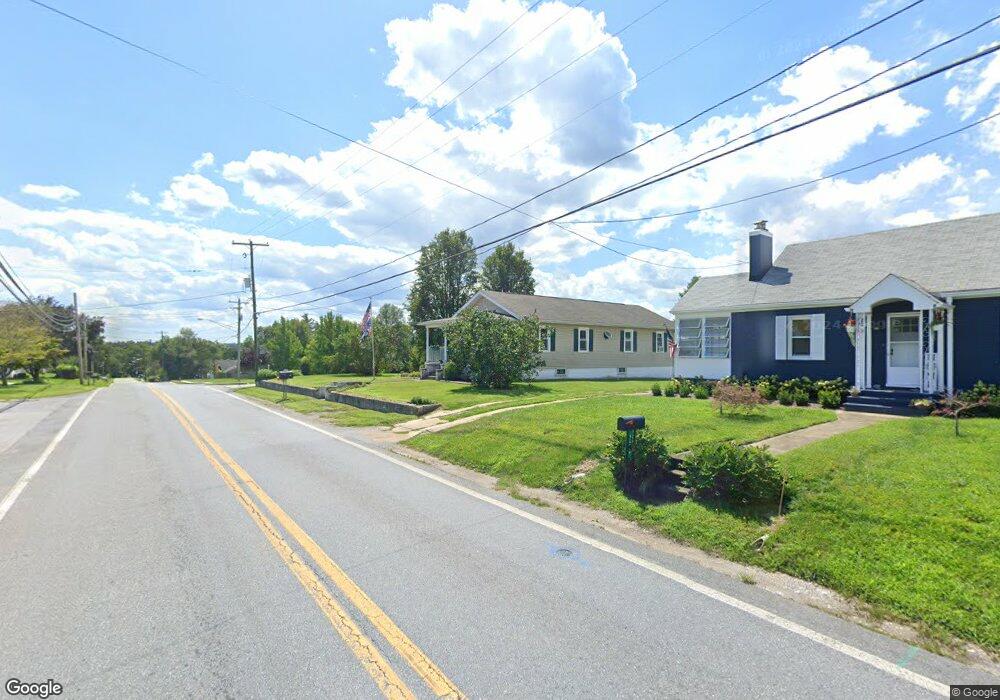
121 N Main St Union Bridge, MD 21791
Estimated Value: $232,000 - $303,000
--
Bed
1
Bath
1,152
Sq Ft
$227/Sq Ft
Est. Value
About This Home
This home is located at 121 N Main St, Union Bridge, MD 21791 and is currently estimated at $262,061, approximately $227 per square foot. 121 N Main St is a home located in Carroll County with nearby schools including Elmer A. Wolfe Elementary School, Northwest Middle School, and Francis Scott Key High School.
Ownership History
Date
Name
Owned For
Owner Type
Purchase Details
Closed on
Nov 25, 2003
Sold by
Yox Jesse
Bought by
Fritz Kathryn
Current Estimated Value
Purchase Details
Closed on
May 16, 2001
Sold by
Bloom Robert C
Bought by
Yox Jesse and Fritz Kathryn
Purchase Details
Closed on
Nov 27, 1991
Sold by
Pittinger Addie B
Bought by
Bloom Robert C
Create a Home Valuation Report for This Property
The Home Valuation Report is an in-depth analysis detailing your home's value as well as a comparison with similar homes in the area
Home Values in the Area
Average Home Value in this Area
Purchase History
| Date | Buyer | Sale Price | Title Company |
|---|---|---|---|
| Fritz Kathryn | -- | -- | |
| Yox Jesse | $109,900 | -- | |
| Bloom Robert C | $65,000 | -- |
Source: Public Records
Tax History Compared to Growth
Tax History
| Year | Tax Paid | Tax Assessment Tax Assessment Total Assessment is a certain percentage of the fair market value that is determined by local assessors to be the total taxable value of land and additions on the property. | Land | Improvement |
|---|---|---|---|---|
| 2025 | $2,341 | $170,767 | $0 | $0 |
| 2024 | $2,341 | $159,133 | $0 | $0 |
| 2023 | $2,168 | $147,500 | $74,000 | $73,500 |
| 2022 | $2,148 | $146,167 | $0 | $0 |
| 2021 | $4,287 | $144,833 | $0 | $0 |
| 2020 | $1,321 | $143,500 | $74,000 | $69,500 |
| 2019 | $1,331 | $142,633 | $0 | $0 |
| 2018 | $1,321 | $141,767 | $0 | $0 |
| 2017 | $1,333 | $140,900 | $0 | $0 |
| 2016 | -- | $140,900 | $0 | $0 |
| 2015 | -- | $140,900 | $0 | $0 |
| 2014 | -- | $142,700 | $0 | $0 |
Source: Public Records
Map
Nearby Homes
- 6 N Farquhar St
- 302 E Thomas St
- 57B Hoff Rd
- 244 Stem Rd
- 430 Bucher John Rd
- 0 Stem Rd
- 285 Stem Rd
- 1030 Mckinstrys Mill Rd
- 3875 Bark Hill Rd
- 3830 Watson Ln
- 6200 Middleburg Rd
- 12633 Claybaugh Rd
- 0 Crouse Mill Rd Unit MDCR2028936
- 0 Crouse Mill
- 3459 Uniontown Rd
- 1309 Trevanion Rd
- 718 Francis Scott Key Hwy
- 1312 Bruceville Rd
- 4205 Sams Creek Rd
- 9630 B Clemsonville Rd