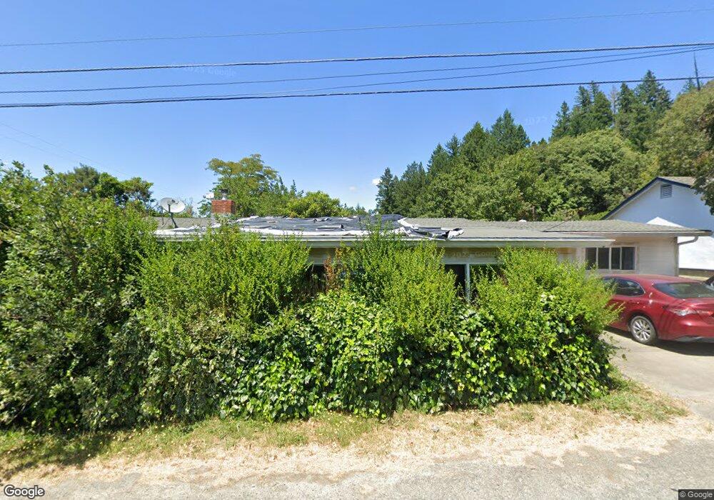
121 Pacific Ave Redway, CA 95560
Estimated Value: $237,000 - $305,621
Studio
--
Bath
--
Sq Ft
10,977
Sq Ft Lot
About This Home
This home is located at 121 Pacific Ave, Redway, CA 95560 and is currently estimated at $270,874. 121 Pacific Ave is a home.
Ownership History
Date
Name
Owned For
Owner Type
Purchase Details
Closed on
Sep 9, 2010
Sold by
Crenshaw Sumer M
Bought by
Crenshaw Bobby R and Crenshaw Sumer M
Current Estimated Value
Home Financials for this Owner
Home Financials are based on the most recent Mortgage that was taken out on this home.
Original Mortgage
$216,500
Interest Rate
4.31%
Mortgage Type
New Conventional
Purchase Details
Closed on
Jul 8, 2002
Sold by
Crenshaw Bobby R
Bought by
Crenshaw Sumer M
Home Financials for this Owner
Home Financials are based on the most recent Mortgage that was taken out on this home.
Original Mortgage
$144,000
Interest Rate
7%
Create a Home Valuation Report for This Property
The Home Valuation Report is an in-depth analysis detailing your home's value as well as a comparison with similar homes in the area
Home Values in the Area
Average Home Value in this Area
Purchase History
| Date | Buyer | Sale Price | Title Company |
|---|---|---|---|
| Crenshaw Bobby R | -- | Fidelity National Title Co | |
| Crenshaw Sumer M | -- | First American Title Ins Co | |
| Crenshaw Sumer M | $180,000 | First American Title Ins Co |
Source: Public Records
Mortgage History
| Date | Status | Borrower | Loan Amount |
|---|---|---|---|
| Closed | Crenshaw Bobby R | $216,500 | |
| Closed | Crenshaw Sumer M | $144,000 |
Source: Public Records
Tax History
| Year | Tax Paid | Tax Assessment Tax Assessment Total Assessment is a certain percentage of the fair market value that is determined by local assessors to be the total taxable value of land and additions on the property. | Land | Improvement |
|---|---|---|---|---|
| 2025 | $2,785 | $260,679 | $65,165 | $195,514 |
| 2024 | $2,785 | $255,569 | $63,888 | $191,681 |
| 2023 | $2,794 | $250,559 | $62,636 | $187,923 |
| 2022 | $2,750 | $245,647 | $61,408 | $184,239 |
| 2021 | $2,646 | $240,831 | $60,204 | $180,627 |
| 2020 | $2,661 | $238,362 | $59,587 | $178,775 |
| 2019 | $2,594 | $233,689 | $58,419 | $175,270 |
| 2018 | $2,548 | $229,108 | $57,274 | $171,834 |
| 2017 | $2,499 | $224,616 | $56,151 | $168,465 |
| 2016 | $2,483 | $220,212 | $55,050 | $165,162 |
| 2015 | -- | $216,906 | $54,224 | $162,682 |
| 2014 | -- | $212,658 | $53,162 | $159,496 |
Source: Public Records
Map
Nearby Homes
- 105 Pacific Ave
- 190 Park Ave
- 227 Pacific Ave
- 160 Park Ave
- 102 Pacific Ave
- 228 Pacific Ave
- 53 Pacific Ave
- 195 Park Ave
- 171 Briceland Thorn Rd
- 256 Pacific Ave
- 153 Briceland Thorn Rd
- 32 N Pacific Ave
- 217 Briceland-Thorne Rd
- 194 Park Ave
- 285 Pacific Ave
- 223 Park Ave
- 300 Pacific Ave
- 3492 Redwood Dr
- 333 Pacific Ave
- 380 Willow Ln
Your Personal Tour Guide
Ask me questions while you tour the home.