Estimated Value: $300,000 - $378,000
3
Beds
1
Bath
1,056
Sq Ft
$325/Sq Ft
Est. Value
About This Home
This home is located at 121 Phillipston Rd, Barre, MA 01005 and is currently estimated at $342,956, approximately $324 per square foot. 121 Phillipston Rd is a home located in Worcester County with nearby schools including Quabbin Regional Middle School and Quabbin Regional High School.
Ownership History
Date
Name
Owned For
Owner Type
Purchase Details
Closed on
Apr 10, 1998
Sold by
Cronin Diane V
Bought by
Macrae James J and Kozak Roberta L
Current Estimated Value
Home Financials for this Owner
Home Financials are based on the most recent Mortgage that was taken out on this home.
Original Mortgage
$90,725
Interest Rate
6.98%
Mortgage Type
Purchase Money Mortgage
Create a Home Valuation Report for This Property
The Home Valuation Report is an in-depth analysis detailing your home's value as well as a comparison with similar homes in the area
Home Values in the Area
Average Home Value in this Area
Purchase History
| Date | Buyer | Sale Price | Title Company |
|---|---|---|---|
| Macrae James J | $95,500 | -- | |
| Macrae James J | $95,500 | -- |
Source: Public Records
Mortgage History
| Date | Status | Borrower | Loan Amount |
|---|---|---|---|
| Open | Macrae James J | $144,000 | |
| Closed | Macrae James J | $121,500 | |
| Closed | Macrae James J | $90,725 |
Source: Public Records
Tax History
| Year | Tax Paid | Tax Assessment Tax Assessment Total Assessment is a certain percentage of the fair market value that is determined by local assessors to be the total taxable value of land and additions on the property. | Land | Improvement |
|---|---|---|---|---|
| 2025 | $3,921 | $288,500 | $53,400 | $235,100 |
| 2024 | $3,874 | $277,100 | $51,000 | $226,100 |
| 2023 | $3,722 | $234,700 | $39,500 | $195,200 |
| 2022 | $3,440 | $204,300 | $33,900 | $170,400 |
| 2021 | $3,125 | $173,600 | $33,900 | $139,700 |
| 2020 | $3,016 | $168,800 | $33,900 | $134,900 |
| 2019 | $2,935 | $162,000 | $30,800 | $131,200 |
| 2018 | $2,803 | $149,100 | $30,800 | $118,300 |
| 2017 | $2,691 | $143,900 | $30,800 | $113,100 |
| 2016 | $2,464 | $138,400 | $27,900 | $110,500 |
| 2015 | $2,531 | $135,800 | $34,400 | $101,400 |
| 2014 | $2,144 | $133,500 | $41,100 | $92,400 |
Source: Public Records
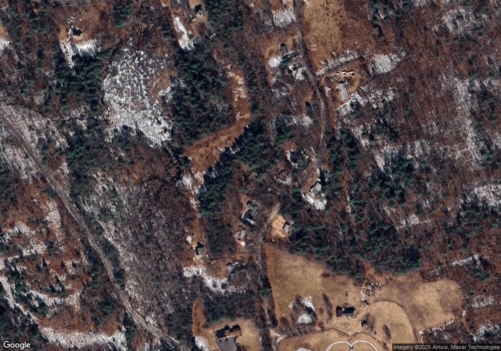
Map
Nearby Homes
- 0 Flaherty Rd
- 160 Bentley Rd
- 198 School St N
- 130-132 School St
- 31 Union St
- 0 Glancy Rd
- 474 Valley Rd
- 15 Primrose Rd
- 0 Agnese Ct Unit 73478399
- 50 Grove St N
- 190 Summer St
- 17 Gray Rd
- 178 James St
- 277 West St
- 5 Old Coldbrook Rd
- 1000 West St
- 7 Williamsville Rd
- 14 Jackson Ln
- 75 Barre Rd
- 225 Queen Lake Rd
- 101 Phillipston Rd
- 135 Phillipston Rd
- 149 Phillipston Rd
- 91 Phillipston Rd
- 120 Phillipston Rd
- 150 Phillipston Rd
- 199 Phillipston Rd
- 73 Phillipston Rd
- 211 Phillipston Rd
- 200 Phillipston Rd
- 221 Phillipston Rd
- 0 Phillipston Rd
- 5 Phillipston Rd
- 33 Harty Rd
- 315 Old Petersham Rd
- 252 Phillipston Rd
- 360 Gilbert Rd
- 351 Old Petersham Rd
- 112 Gilbert Rd
- 299 Phillipston Rd
Your Personal Tour Guide
Ask me questions while you tour the home.