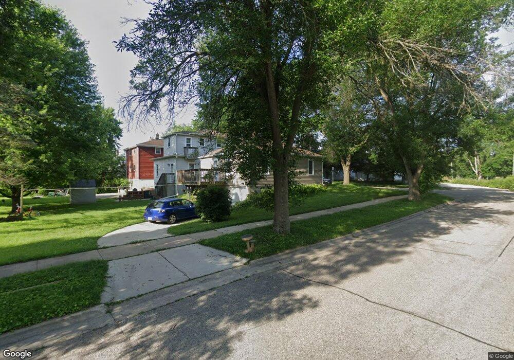
121 Powers Ave Madison, WI 53714
Atwood NeighborhoodEstimated Value: $265,537 - $319,000
2
Beds
1
Bath
803
Sq Ft
$360/Sq Ft
Est. Value
About This Home
This home is located at 121 Powers Ave, Madison, WI 53714 and is currently estimated at $288,884, approximately $359 per square foot. 121 Powers Ave is a home located in Dane County with nearby schools including Lowell Elementary School, O'Keeffe Middle, and East High School.
Ownership History
Date
Name
Owned For
Owner Type
Purchase Details
Closed on
Sep 26, 2008
Sold by
Wopat Christopher R
Bought by
Kuse Bradley P and Kuse Amanda R
Current Estimated Value
Home Financials for this Owner
Home Financials are based on the most recent Mortgage that was taken out on this home.
Original Mortgage
$130,551
Outstanding Balance
$87,395
Interest Rate
6.57%
Mortgage Type
Purchase Money Mortgage
Estimated Equity
$201,489
Create a Home Valuation Report for This Property
The Home Valuation Report is an in-depth analysis detailing your home's value as well as a comparison with similar homes in the area
Home Values in the Area
Average Home Value in this Area
Purchase History
| Date | Buyer | Sale Price | Title Company |
|---|---|---|---|
| Kuse Bradley P | $132,600 | None Available |
Source: Public Records
Mortgage History
| Date | Status | Borrower | Loan Amount |
|---|---|---|---|
| Open | Kuse Bradley P | $130,551 |
Source: Public Records
Tax History
| Year | Tax Paid | Tax Assessment Tax Assessment Total Assessment is a certain percentage of the fair market value that is determined by local assessors to be the total taxable value of land and additions on the property. | Land | Improvement |
|---|---|---|---|---|
| 2023 | $3,419 | $209,800 | $67,600 | $142,200 |
| 2022 | $6,697 | $187,300 | $67,600 | $119,700 |
| 2021 | $3,273 | $167,200 | $58,800 | $108,400 |
| 2020 | $3,479 | $163,900 | $56,500 | $107,400 |
| 2019 | $3,229 | $153,200 | $52,800 | $100,400 |
| 2018 | $2,944 | $139,300 | $52,800 | $86,500 |
| 2017 | $2,865 | $129,000 | $48,000 | $81,000 |
| 2016 | $2,790 | $124,000 | $48,000 | $76,000 |
| 2015 | $2,628 | $111,400 | $43,100 | $68,300 |
| 2014 | $2,490 | $111,400 | $43,100 | $68,300 |
| 2013 | $2,736 | $107,100 | $41,400 | $65,700 |
Source: Public Records
Map
Nearby Homes
- 3014 Union St
- 3401 Dawes St Unit 1
- 206 Dixon St
- 129 Walter St
- 816 Melvin Ct Unit 1
- 2852 Commercial Ave
- 3218 Quincy Ave
- 256 Waubesa St
- 1025 Melvin Ct Unit 13
- 3606 Atwood Ave
- 914 N Oak St
- 2418 Bashford Ave
- 2670 Hoard St Unit 1
- 2528 E Washington Ave
- 2617 Hoard St
- 302 Buckingham Ln
- 5126 Walbridge Ave
- 4130 Alvarez Ave
- 4162 Alvarez Ave
- 3830 Dennett Dr
- 117 Powers Ave
- 113 Powers Ave
- 115 Powers Ave
- 3309 Chicago Ave
- 3313 Chicago Ave
- 3302 Chicago Ave
- 109 Powers Ave
- 3317 Chicago Ave
- 105 Powers Ave
- 3316 Chicago Ave
- 3312 Wells Ave
- 3319 Chicago Ave Unit 2
- 101 Powers Ave
- 3325 Chicago Ave
- 3324 Wells Ave
- 3320 Chicago Ave
- 223 Powers Ave
- 3327 Chicago Ave
- 224 Powers Ave
- 3328 Wells Ave
Your Personal Tour Guide
Ask me questions while you tour the home.