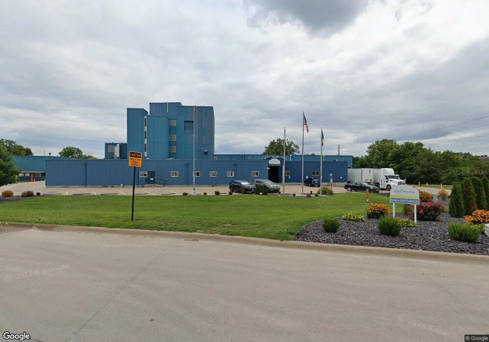
121 Royal Rd Keokuk, IA 52632
Estimated Value: $3,393,224
--
Bed
--
Bath
3,165
Sq Ft
$1,072/Sq Ft
Est. Value
About This Home
This home is located at 121 Royal Rd, Keokuk, IA 52632 and is currently estimated at $3,393,224, approximately $1,072 per square foot. 121 Royal Rd is a home located in Lee County with nearby schools including Hawthorne Elementary School, George Washington Elementary School, and Keokuk Middle School.
Ownership History
Date
Name
Owned For
Owner Type
Purchase Details
Closed on
Oct 28, 2020
Sold by
Ogad Iowa Properties Llc
Bought by
Allied Blending Lp
Current Estimated Value
Purchase Details
Closed on
Mar 5, 2010
Sold by
Cb Land Co Lc
Bought by
Ogad Lowa Properties Llc
Home Financials for this Owner
Home Financials are based on the most recent Mortgage that was taken out on this home.
Original Mortgage
$700,000
Interest Rate
5.01%
Mortgage Type
Purchase Money Mortgage
Create a Home Valuation Report for This Property
The Home Valuation Report is an in-depth analysis detailing your home's value as well as a comparison with similar homes in the area
Home Values in the Area
Average Home Value in this Area
Purchase History
| Date | Buyer | Sale Price | Title Company |
|---|---|---|---|
| Allied Blending Lp | $2,150,000 | None Available | |
| Ogad Lowa Properties Llc | -- | None Available |
Source: Public Records
Mortgage History
| Date | Status | Borrower | Loan Amount |
|---|---|---|---|
| Previous Owner | Ogad Lowa Properties Llc | $700,000 |
Source: Public Records
Tax History Compared to Growth
Tax History
| Year | Tax Paid | Tax Assessment Tax Assessment Total Assessment is a certain percentage of the fair market value that is determined by local assessors to be the total taxable value of land and additions on the property. | Land | Improvement |
|---|---|---|---|---|
| 2025 | $55,534 | $4,221,510 | $92,600 | $4,128,910 |
| 2024 | $55,534 | $1,209,240 | $92,600 | $1,116,640 |
| 2023 | $51,186 | $1,206,150 | $92,600 | $1,113,550 |
| 2022 | $42,614 | $1,167,810 | $92,600 | $1,075,210 |
| 2021 | $42,614 | $1,156,280 | $92,600 | $1,063,680 |
| 2020 | $41,860 | $1,156,280 | $92,600 | $1,063,680 |
| 2019 | $44,806 | $1,156,280 | $92,600 | $1,063,680 |
| 2018 | $44,276 | $1,156,280 | $0 | $0 |
| 2017 | $43,946 | $1,156,280 | $0 | $0 |
| 2016 | $43,212 | $1,156,280 | $0 | $0 |
| 2015 | $43,212 | $1,156,280 | $0 | $0 |
| 2014 | $44,998 | $929,990 | $0 | $0 |
Source: Public Records
Map
Nearby Homes
- 26 Mohawk Terrace
- 1 Navaho Dr
- 2461 Carbide Ln
- 3252 Brookshire Dr
- 28 Melody Ct
- 2nd Main St
- 402 Hawthorne Place
- 503 Hawthorne Place
- 306 Hickory Terrace
- 3582 270th Ave
- 2928 Middle Rd
- 3295 Middle Rd
- 3359 Middle Rd
- 2305 Mckinley Ave
- 716 Boulevard Rd
- 723 Hazelhurst Cir
- 3575 Mississippi River Rd
- 11 Sun Crest Terrace
- 1922 Exchange St
- 16 S 19th St