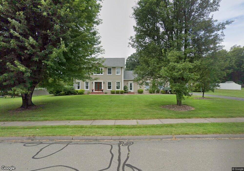
121 Shallow Brook Way Suffield, CT 06078
Estimated Value: $543,000 - $790,000
3
Beds
3
Baths
2,080
Sq Ft
$313/Sq Ft
Est. Value
About This Home
This home is located at 121 Shallow Brook Way, Suffield, CT 06078 and is currently estimated at $650,450, approximately $312 per square foot. 121 Shallow Brook Way is a home located in Hartford County with nearby schools including A. Ward Spaulding School, Mcalister Intermediate School, and Suffield Middle School.
Ownership History
Date
Name
Owned For
Owner Type
Purchase Details
Closed on
Feb 12, 2025
Sold by
Baskin Joseph B and Baskin Cynthia A
Bought by
Baskin T T and Baskin B
Current Estimated Value
Purchase Details
Closed on
May 3, 1999
Sold by
Berger Dohn and Berger Mary
Bought by
Baskin Joseph and Baskin Cynthia
Purchase Details
Closed on
Oct 9, 1996
Sold by
Briarwood Homes
Bought by
Berger Dohn and Berger Mary
Create a Home Valuation Report for This Property
The Home Valuation Report is an in-depth analysis detailing your home's value as well as a comparison with similar homes in the area
Home Values in the Area
Average Home Value in this Area
Purchase History
We collect this data history from publicly available records. To have your information removed, we recommend requesting removal directly through your county’s website.
| Date | Buyer | Sale Price | Title Company |
|---|---|---|---|
| Baskin T T | -- | None Available | |
| Baskin T T | -- | None Available | |
| Baskin Joseph | $266,000 | -- | |
| Baskin Joseph | $266,000 | -- | |
| Berger Dohn | $225,500 | -- |
Source: Public Records
Mortgage History
We collect this data history from publicly available records. To have your information removed, we recommend requesting removal directly through your county’s website.
| Date | Status | Borrower | Loan Amount |
|---|---|---|---|
| Previous Owner | Berger Dohn | $182,000 | |
| Previous Owner | Berger Dohn | $195,000 | |
| Previous Owner | Berger Dohn | $200,000 |
Source: Public Records
Tax History
| Year | Tax Paid | Tax Assessment Tax Assessment Total Assessment is a certain percentage of the fair market value that is determined by local assessors to be the total taxable value of land and additions on the property. | Land | Improvement |
|---|---|---|---|---|
| 2025 | $9,272 | $396,060 | $91,560 | $304,500 |
| 2024 | $8,963 | $396,060 | $91,560 | $304,500 |
| 2023 | $8,221 | $287,350 | $91,560 | $195,790 |
| 2022 | $8,221 | $287,350 | $91,560 | $195,790 |
| 2021 | $8,230 | $287,350 | $91,560 | $195,790 |
| 2020 | $8,230 | $287,350 | $91,560 | $195,790 |
| 2019 | $8,253 | $287,350 | $91,560 | $195,790 |
| 2018 | $8,329 | $284,060 | $85,680 | $198,380 |
| 2017 | $8,206 | $284,060 | $85,680 | $198,380 |
| 2016 | $8,010 | $284,060 | $85,680 | $198,380 |
| 2015 | $7,891 | $284,060 | $85,680 | $198,380 |
| 2014 | $7,704 | $284,060 | $85,680 | $198,380 |
Source: Public Records
Map
Nearby Homes
- 1253 North St
- 44 Farmstead Ln
- 0 Hickory St Unit 24099336
- 949 North St
- 278 Thompsonville Rd
- 68 Deep Brook Harbor Unit 68
- 551 N Main St
- 98 Kildeer Ln
- 57 Thistledown
- 45 Douglas St
- 98 1st St
- 4 Ash Ln
- 90 Russell Ave
- 921 Thompsonville Rd
- 21 Northwood St
- 103 Windsor St
- 148 Pleasant St
- 10 Cheryl Dr
- 371 N Main St
- 20 Manning Rd
- 110 Ffyler Place
- 127 Shallow Brook Way
- 115 Shallow Brook Way
- 145 Randall Dr
- 120 Shallow Brook Way
- 135 Randall Dr
- 155 Randall Dr
- 131 Shallow Brook Way
- 118 Shallow Brook Way
- 130 Shallow Brook Way
- 125 Randall Dr
- 111 Cold Spring Ln
- 165 Randall Dr
- 115 Randall Dr
- 125 Cold Spring Ln
- 140 Silver Creek Dr
- 156 Silver Creek Dr
- 144 Silver Creek Dr
- 112 Cold Spring Ln
- 146 Randall Dr
Your Personal Tour Guide
Ask me questions while you tour the home.