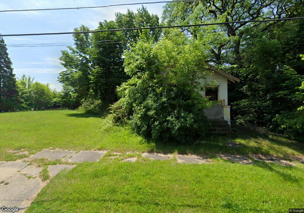
121 W Gillespie Ave Flint, MI 48505
King Avenue Plus NeighborhoodEstimated Value: $23,000 - $41,000
2
Beds
1
Bath
756
Sq Ft
$42/Sq Ft
Est. Value
About This Home
This home is located at 121 W Gillespie Ave, Flint, MI 48505 and is currently estimated at $32,000, approximately $42 per square foot. 121 W Gillespie Ave is a home located in Genesee County with nearby schools including Brownell STEM Academy, The New Standard Academy, and Greater Heights Academy.
Ownership History
Date
Name
Owned For
Owner Type
Purchase Details
Closed on
Dec 19, 2019
Sold by
Cherry Deborah L
Bought by
County Land Bank Authority
Current Estimated Value
Purchase Details
Closed on
Nov 22, 2016
Sold by
Clark Michael Anthony and Clark Kimberly
Bought by
Nelson Rickey
Purchase Details
Closed on
Aug 23, 2002
Sold by
Michigan Department Of Natural Resources
Bought by
Clark Michael A
Create a Home Valuation Report for This Property
The Home Valuation Report is an in-depth analysis detailing your home's value as well as a comparison with similar homes in the area
Home Values in the Area
Average Home Value in this Area
Purchase History
| Date | Buyer | Sale Price | Title Company |
|---|---|---|---|
| County Land Bank Authority | -- | None Available | |
| Nelson Rickey | $3,000 | Liberty Title | |
| Clark Michael A | $4,200 | -- |
Source: Public Records
Tax History Compared to Growth
Tax History
| Year | Tax Paid | Tax Assessment Tax Assessment Total Assessment is a certain percentage of the fair market value that is determined by local assessors to be the total taxable value of land and additions on the property. | Land | Improvement |
|---|---|---|---|---|
| 2025 | -- | $0 | $0 | $0 |
| 2024 | -- | $0 | $0 | $0 |
| 2023 | -- | $0 | $0 | $0 |
| 2022 | $0 | $0 | $0 | $0 |
| 2021 | $0 | $0 | $0 | $0 |
| 2020 | $268 | $0 | $0 | $0 |
| 2019 | $536 | $4,300 | $0 | $0 |
| 2018 | $720 | $7,400 | $0 | $0 |
| 2017 | $703 | $0 | $0 | $0 |
| 2016 | $678 | $0 | $0 | $0 |
| 2015 | -- | $0 | $0 | $0 |
| 2014 | -- | $0 | $0 | $0 |
| 2012 | -- | $8,600 | $0 | $0 |
Source: Public Records
Map
Nearby Homes
- 325 W Dewey St
- 200 W Mcclellan St
- 2913 Martin Luther King Ave
- 2913
- 311 W Genesee St
- 3810 Marvin St
- 409 W Genesee St
- 3312 Buick St
- 313 Edwin Ave
- 3418 Keyes St
- 114 W Stewart Ave
- 218 E Jackson Ave
- 418 Damon St
- 370 E Moore St
- 606 W Stewart Ave
- 4006 Donnelly St
- 613 E van Wagoner Ave
- 3802 Milbourne Ave
- 3002 N Chevrolet Ave
- 3513 Milbourne Ave
- 115 W Gillespie Ave
- 113 W Gillespie Ave
- 3506 Cassius St
- 3602 Cassius St
- 3502 Cassius St
- 3513 Cassius St
- 3517 Cassius St
- 3509 Cassius St
- 3606 Cassius St
- 3601 M l King Ave
- 3601 Cassius St
- 3501 Cassius St
- 3610 Cassius St
- 3605 M l King Ave
- 3609 M l King Ave
- 3605 Cassius St
- 3418 Cassius St
- 3422 Cassius St
- 3614 Cassius St
- 3516 Robin St