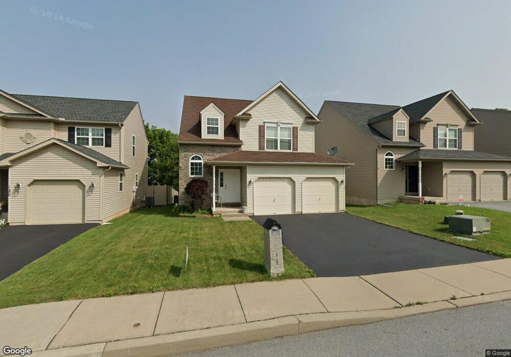
121 W Martin St Allentown, PA 18103
Southside NeighborhoodEstimated Value: $420,785 - $450,000
4
Beds
3
Baths
2,065
Sq Ft
$208/Sq Ft
Est. Value
About This Home
This home is located at 121 W Martin St, Allentown, PA 18103 and is currently estimated at $428,696, approximately $207 per square foot. 121 W Martin St is a home with nearby schools including Hiram W Dodd Elementary School, South Mountain Middle School, and Louis E. Dieruff High School.
Ownership History
Date
Name
Owned For
Owner Type
Purchase Details
Closed on
May 18, 2010
Sold by
K & M Associates Inc
Bought by
Terplan George J
Current Estimated Value
Home Financials for this Owner
Home Financials are based on the most recent Mortgage that was taken out on this home.
Original Mortgage
$238,273
Outstanding Balance
$161,106
Interest Rate
5.23%
Mortgage Type
FHA
Estimated Equity
$267,590
Create a Home Valuation Report for This Property
The Home Valuation Report is an in-depth analysis detailing your home's value as well as a comparison with similar homes in the area
Home Values in the Area
Average Home Value in this Area
Purchase History
| Date | Buyer | Sale Price | Title Company |
|---|---|---|---|
| Terplan George J | $246,500 | -- |
Source: Public Records
Mortgage History
| Date | Status | Borrower | Loan Amount |
|---|---|---|---|
| Open | Terplan George J | $238,273 |
Source: Public Records
Tax History Compared to Growth
Tax History
| Year | Tax Paid | Tax Assessment Tax Assessment Total Assessment is a certain percentage of the fair market value that is determined by local assessors to be the total taxable value of land and additions on the property. | Land | Improvement |
|---|---|---|---|---|
| 2025 | $6,802 | $207,200 | $21,200 | $186,000 |
| 2024 | $6,802 | $207,200 | $21,200 | $186,000 |
| 2023 | $6,802 | $207,200 | $21,200 | $186,000 |
| 2022 | $6,566 | $207,200 | $186,000 | $21,200 |
| 2021 | $6,436 | $207,200 | $21,200 | $186,000 |
| 2020 | $6,270 | $207,200 | $21,200 | $186,000 |
| 2019 | $6,169 | $207,200 | $21,200 | $186,000 |
| 2018 | $5,748 | $207,200 | $21,200 | $186,000 |
| 2017 | $5,604 | $207,200 | $21,200 | $186,000 |
| 2016 | -- | $207,200 | $21,200 | $186,000 |
| 2015 | -- | $207,200 | $21,200 | $186,000 |
| 2014 | -- | $207,200 | $21,200 | $186,000 |
Source: Public Records
Map
Nearby Homes
- 206 208 W Emaus Ave
- 2429 S Front St
- 2421 S Wood St
- 121 Woodcrest Cir
- 102 W Brookdale St
- 1852 S 2nd St
- 1865 Chapel Ave
- 148 W Brookdale St
- 2441 S 4th St
- 203 W Brookdale St
- 316 W Mountain Rd
- 135 W Wabash St
- 2416 S Alice St Unit 2418
- 2347 S Law St Unit 2349
- 566 W Emaus Ave
- 566 588 W Emaus Ave
- 2401 S Church St
- 2413 S Church St
- 320 E Paoli St
- 127 E Lynnwood St
- 135 W Martin St Unit 145
- 117 Martin St
- 125 W Martin St
- 113 W Martin St
- 2021 S Wood St
- 109 W Martin St
- 139 W Martin St
- 105 W Martin St
- 2025 S Wood St
- 140 W Emaus Ave Unit 150
- 130 W Emaus Ave Unit 136
- 2022 S Wood St
- 2022 S Wood St Unit V 10
- 132 W Emaus Ave
- 133 W Emaus Ave
- 122 W Emaus Ave Unit 126
- 2029 S Wood St
- 124 W Emmaus Ave
- 124 W Emaus Ave
- 2026 S Wood St