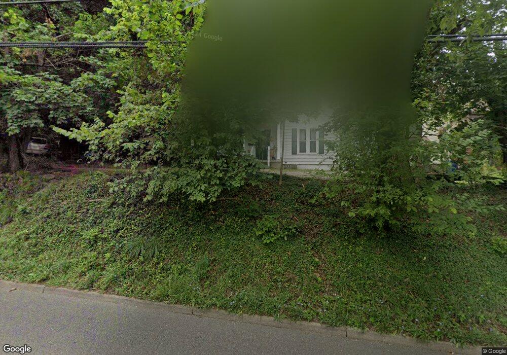
121 W State St Athens, OH 45701
Estimated Value: $228,000 - $318,000
3
Beds
2
Baths
1,978
Sq Ft
$140/Sq Ft
Est. Value
About This Home
This home is located at 121 W State St, Athens, OH 45701 and is currently estimated at $276,508, approximately $139 per square foot. 121 W State St is a home located in Athens County with nearby schools including West Elementary School, Athens Middle School, and Athens High School.
Ownership History
Date
Name
Owned For
Owner Type
Purchase Details
Closed on
Apr 13, 2016
Sold by
Smith Timothy D
Bought by
Atown University Rentals Llc
Current Estimated Value
Home Financials for this Owner
Home Financials are based on the most recent Mortgage that was taken out on this home.
Original Mortgage
$146,400
Outstanding Balance
$64,085
Interest Rate
3.68%
Mortgage Type
Purchase Money Mortgage
Estimated Equity
$212,423
Purchase Details
Closed on
Dec 22, 2015
Sold by
Estate Of Barbara V Smith
Bought by
Smith Timothy D
Create a Home Valuation Report for This Property
The Home Valuation Report is an in-depth analysis detailing your home's value as well as a comparison with similar homes in the area
Home Values in the Area
Average Home Value in this Area
Purchase History
| Date | Buyer | Sale Price | Title Company |
|---|---|---|---|
| Atown University Rentals Llc | $183,000 | Attorney | |
| Smith Timothy D | -- | None Available |
Source: Public Records
Mortgage History
| Date | Status | Borrower | Loan Amount |
|---|---|---|---|
| Open | Atown University Rentals Llc | $146,400 |
Source: Public Records
Tax History Compared to Growth
Tax History
| Year | Tax Paid | Tax Assessment Tax Assessment Total Assessment is a certain percentage of the fair market value that is determined by local assessors to be the total taxable value of land and additions on the property. | Land | Improvement |
|---|---|---|---|---|
| 2024 | $4,238 | $78,370 | $6,270 | $72,100 |
| 2023 | $3,963 | $78,370 | $6,270 | $72,100 |
| 2022 | $3,320 | $62,740 | $6,270 | $56,470 |
| 2021 | $3,334 | $62,740 | $6,270 | $56,470 |
| 2020 | $3,242 | $62,740 | $6,270 | $56,470 |
| 2019 | $3,154 | $60,350 | $5,620 | $54,730 |
| 2018 | $3,114 | $60,350 | $5,620 | $54,730 |
| 2017 | $5,375 | $60,350 | $5,620 | $54,730 |
| 2016 | $2,614 | $53,730 | $5,360 | $48,370 |
| 2015 | $4,907 | $53,730 | $5,360 | $48,370 |
| 2014 | $4,907 | $53,730 | $5,360 | $48,370 |
| 2013 | $4,659 | $52,420 | $5,360 | $47,060 |
Source: Public Records
Map
Nearby Homes
- 12 Walker St
- 11 Walker St
- 71 W Washington St
- 31 1st St
- 0 Roberts St
- 214 W State St
- 10 1st St
- 7 Elizabeth Dr
- 80 Court
- 56.15/15.5 Central & Clark
- 15 S Shafer St Unit 1509
- 18 Clarke St
- 98 Central Ave
- 193 N Lancaster St
- 17 Ring St
- 64 Franklin Ave
- 131 Grosvenor St
- 273 E State St
- 550 W Union St
- 8181 Dairy Ln
- 125 W State St
- 111 W State St
- 127 W State St
- 160 W Washington St
- 107 W State St
- 129 W State St
- 162 W Washington St
- 138 W Washington St
- 99 W State St
- 103 W State St
- 102 W State St
- 102 W State St
- 132 W Washington St
- 159 W Washington St
- 155 W Washington St
- 167 W Washington St
- 100 W State St
- 95 W State St
- 145 W Washington St
- 5 Smith St