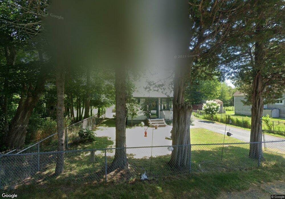
121 Weeden Rd Fairhaven, MA 02719
Estimated Value: $285,000 - $526,000
1
Bed
1
Bath
400
Sq Ft
$1,096/Sq Ft
Est. Value
About This Home
This home is located at 121 Weeden Rd, Fairhaven, MA 02719 and is currently estimated at $438,533, approximately $1,096 per square foot. 121 Weeden Rd is a home located in Bristol County with nearby schools including Fairhaven High School, Alma Del Mar Charter School, and St. Teresa of Calcutta School.
Ownership History
Date
Name
Owned For
Owner Type
Purchase Details
Closed on
Jun 3, 2004
Sold by
Brown Kathy A and Brown Stephen P
Bought by
Desmarais Susan G
Current Estimated Value
Purchase Details
Closed on
Feb 12, 2001
Sold by
Brown Kathy A
Bought by
Denormandie Philip Y
Purchase Details
Closed on
Dec 29, 2000
Sold by
Michaud Michael R and Michaud Cathleen L
Bought by
Brown Kathy A
Purchase Details
Closed on
Oct 13, 1999
Sold by
S Sunrise Rt and Michaud Michael E
Bought by
Michaud Michael R and Hubert Cathleen L
Purchase Details
Closed on
Aug 17, 1999
Sold by
Baker Kenneth A and Baker Kevin S
Bought by
S Sunrise Rt and Michaud Michael E
Create a Home Valuation Report for This Property
The Home Valuation Report is an in-depth analysis detailing your home's value as well as a comparison with similar homes in the area
Purchase History
| Date | Buyer | Sale Price | Title Company |
|---|---|---|---|
| Desmarais Susan G | -- | -- | |
| Denormandie Philip Y | $50,000 | -- | |
| Brown Kathy A | $26,000 | -- | |
| Michaud Michael R | $10,000 | -- | |
| S Sunrise Rt | $7,500 | -- |
Source: Public Records
Tax History
| Year | Tax Paid | Tax Assessment Tax Assessment Total Assessment is a certain percentage of the fair market value that is determined by local assessors to be the total taxable value of land and additions on the property. | Land | Improvement |
|---|---|---|---|---|
| 2025 | $45 | $482,800 | $400,700 | $82,100 |
| 2024 | $4,386 | $475,200 | $400,700 | $74,500 |
| 2023 | $4,351 | $437,300 | $371,500 | $65,800 |
| 2022 | $4,246 | $415,500 | $353,900 | $61,600 |
| 2021 | $4,152 | $367,800 | $321,700 | $46,100 |
| 2020 | $3,907 | $353,300 | $307,200 | $46,100 |
| 2019 | $3,790 | $324,800 | $279,600 | $45,200 |
| 2018 | $3,591 | $305,600 | $266,200 | $39,400 |
| 2017 | $3,610 | $299,800 | $266,200 | $33,600 |
| 2016 | $3,673 | $301,600 | $266,200 | $35,400 |
| 2015 | $1,859 | $153,000 | $119,600 | $33,400 |
Source: Public Records
Map
Nearby Homes
- 00 Huttleston Ave
- 3.5 Golf St
- 190 Sconticut Neck Rd
- 123 Sconticut Neck Rd
- 33 Narragansett Blvd
- 00 Copeland St
- 15 Bayview Ave
- 3 Earle St
- 27 Bayview Ave
- 421 Huttleston Ave
- 58 Bayview Ave
- 5 Reservation Rd
- 8 Manor Dr
- 181 Washington St
- 20 Nantucket Dr
- 2 Washburn Ave
- 8 Sunset Beach Rd
- 11 Lawton St
- 0 Marina Dr Unit 72497908
- 0 Marina Dr Unit 72497877
Your Personal Tour Guide
Ask me questions while you tour the home.