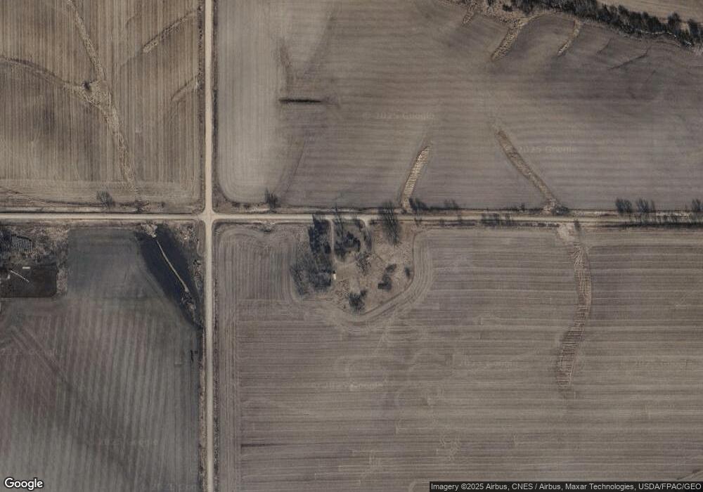
1210 330th Ave Malcom, IA 50157
Estimated Value: $296,000 - $352,686
--
Bed
2
Baths
1,998
Sq Ft
$161/Sq Ft
Est. Value
About This Home
This home is located at 1210 330th Ave, Malcom, IA 50157 and is currently estimated at $321,562, approximately $160 per square foot. 1210 330th Ave is a home located in Poweshiek County with nearby schools including Brooklyn-Guernsey-Malcom Elementary School and Brooklyn-Guernsey-Malcom Junior/Senior High School.
Create a Home Valuation Report for This Property
The Home Valuation Report is an in-depth analysis detailing your home's value as well as a comparison with similar homes in the area
Home Values in the Area
Average Home Value in this Area
Tax History Compared to Growth
Tax History
| Year | Tax Paid | Tax Assessment Tax Assessment Total Assessment is a certain percentage of the fair market value that is determined by local assessors to be the total taxable value of land and additions on the property. | Land | Improvement |
|---|---|---|---|---|
| 2025 | $2,902 | $264,340 | $92,210 | $172,130 |
| 2024 | $2,948 | $234,250 | $72,440 | $161,810 |
| 2023 | $3,408 | $234,250 | $72,440 | $161,810 |
| 2022 | $3,188 | $206,540 | $62,780 | $143,760 |
| 2021 | $3,188 | $198,400 | $62,780 | $135,620 |
| 2020 | $2,838 | $180,370 | $60,320 | $120,050 |
| 2019 | $2,626 | $180,370 | $60,320 | $120,050 |
| 2018 | $2,584 | $194,290 | $86,270 | $108,020 |
| 2017 | $2,654 | $194,290 | $86,270 | $108,020 |
| 2016 | $2,480 | $206,330 | $98,170 | $108,160 |
| 2015 | $2,480 | $206,330 | $98,170 | $108,160 |
| 2014 | $2,332 | $202,470 | $97,850 | $104,620 |
Source: Public Records
Map
Nearby Homes
- 1067 320th Ave
- 4068 Western Dr
- 4038 Phelps Dr
- 5191 Skyline Dr
- 5090 County Public Rd
- 5030 N Lakeshore Dr
- 1041 Lakeshore Dr
- 1308 Holiday Ln
- 1288 Lakeshore Dr
- 1332 Holiday Ln
- 1056 Lakeshore Dr
- 1059 Lakeshore Dr
- 1760 328th Ave
- 1126 Lakeshore Dr
- 1770 328th Ave
- 6110 N Lakeshore Dr
- 6039 N Lakeshore Dr
- 6039 N Lakeshore Dr Unit 6
- 6183 NE Lakeshore Dr
- 6182-6181 NE Lakeshore Dr