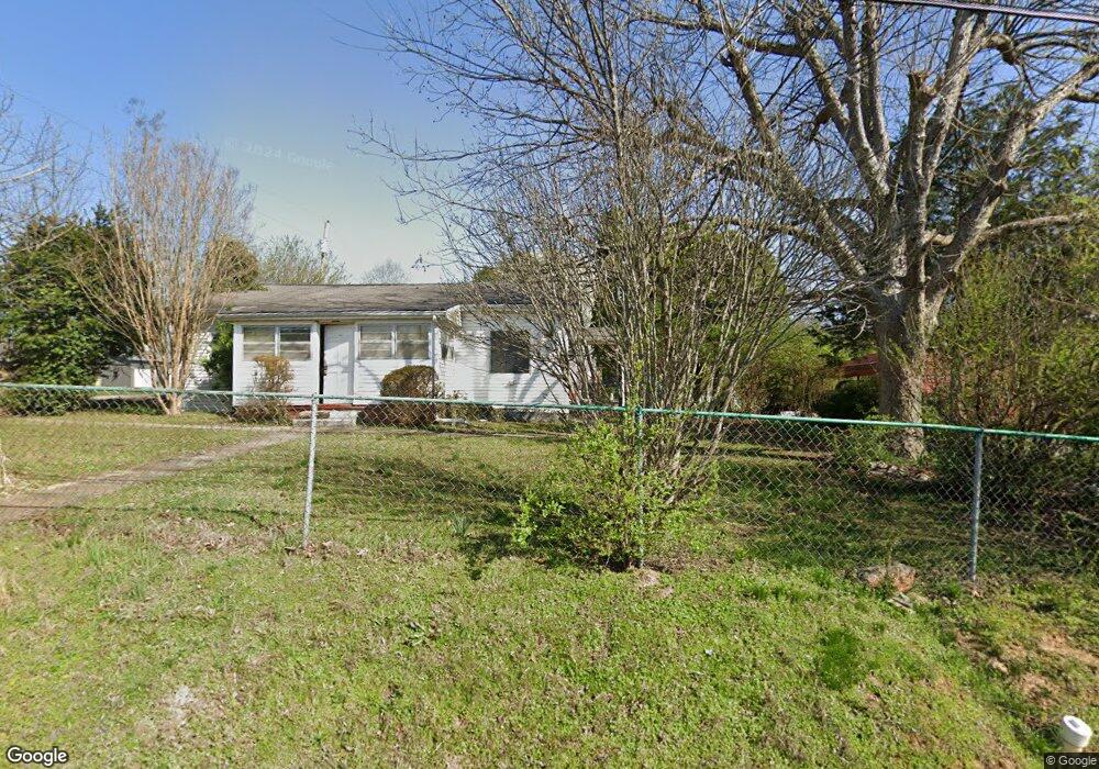
1210 Broad St Sweetwater, TN 37874
Estimated Value: $116,000 - $221,000
--
Bed
1
Bath
1,140
Sq Ft
$145/Sq Ft
Est. Value
About This Home
This home is located at 1210 Broad St, Sweetwater, TN 37874 and is currently estimated at $165,824, approximately $145 per square foot. 1210 Broad St is a home located in Monroe County with nearby schools including Sweetwater Primary School, Sweetwater Elementary School, and Sweetwater Junior High School.
Ownership History
Date
Name
Owned For
Owner Type
Purchase Details
Closed on
Dec 28, 1998
Sold by
Imc Mortgage
Bought by
Douglas Mccowan
Current Estimated Value
Purchase Details
Closed on
Dec 16, 1998
Bought by
Mccowan Douglas R
Purchase Details
Closed on
Jan 2, 1997
Sold by
Brewster Edward
Bought by
Brewster Tyson
Purchase Details
Closed on
Jun 1, 1979
Bought by
Brewster Edward and Brewster Lorraine
Purchase Details
Closed on
Aug 21, 1944
Create a Home Valuation Report for This Property
The Home Valuation Report is an in-depth analysis detailing your home's value as well as a comparison with similar homes in the area
Home Values in the Area
Average Home Value in this Area
Purchase History
| Date | Buyer | Sale Price | Title Company |
|---|---|---|---|
| Douglas Mccowan | $14,250 | -- | |
| Mccowan Douglas R | $14,300 | -- | |
| Brewster Tyson | $32,400 | -- | |
| Brewster Edward | -- | -- | |
| -- | -- | -- |
Source: Public Records
Tax History Compared to Growth
Tax History
| Year | Tax Paid | Tax Assessment Tax Assessment Total Assessment is a certain percentage of the fair market value that is determined by local assessors to be the total taxable value of land and additions on the property. | Land | Improvement |
|---|---|---|---|---|
| 2025 | -- | $23,775 | $0 | $0 |
| 2024 | $584 | $23,775 | $5,625 | $18,150 |
| 2023 | $584 | $23,775 | $5,625 | $18,150 |
| 2022 | $525 | $14,500 | $3,900 | $10,600 |
| 2021 | $525 | $14,500 | $3,900 | $10,600 |
| 2020 | $525 | $14,500 | $3,900 | $10,600 |
| 2019 | $487 | $14,500 | $3,900 | $10,600 |
| 2018 | $487 | $14,500 | $3,900 | $10,600 |
| 2017 | $433 | $13,125 | $2,650 | $10,475 |
| 2016 | $433 | $13,125 | $2,650 | $10,475 |
| 2015 | $432 | $13,125 | $2,650 | $10,475 |
| 2014 | $433 | $13,142 | $0 | $0 |
Source: Public Records
Map
Nearby Homes
- 1203 W Morris St
- 1113 McCaslin Ave
- 1011 Morris St
- 169 Dode St
- 829 Childress Ave
- 173 Dode St
- 307 Browder St
- 201 Browder St
- 706 Broad St
- 806 Bennett St
- 114 Anderson St
- 1502 Monroe St
- 816 Fair St
- 210 Clark St N
- 509 Williams St
- 1023 Wentford Ave
- 1021 Wentford Ave
- 703 Monroe St
- 1019 Wentford Ave
- 117 Cedar Valley Rd
- 1210 Broad St
- 1202 Chestnut St
- 1211 Broad St
- Lot 7 Chestnut Ln
- Lot 6 Chestnut Ln
- lot 5 Chestnut Ln
- 7 Chestnut Ln
- 0 Chestnut Ln Unit 1175939
- 0 Chestnut Ln Unit 799221
- 0 Chestnut Ln Unit 799219
- 0 Chestnut St
- 1205 Broad St
- 1306 Morris St
- 1406 Chestnut St
- 1215 Broad St
- 500 Fair St N
- 1206 Broad St
- 1302 Chestnut St
- 306 Fair St N
- 506 Fair St N