Estimated Value: $390,000 - $916,000
Studio
--
Bath
1,312
Sq Ft
$425/Sq Ft
Est. Value
About This Home
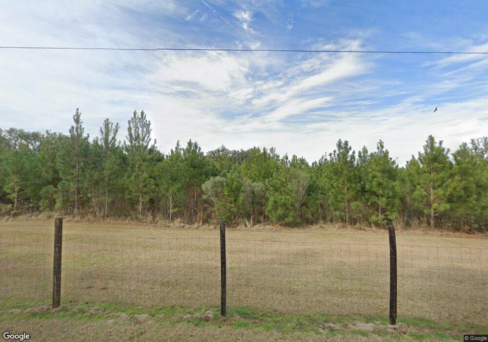
This home is located at 1210 Bryant Rd, Cairo, GA 39828 and is currently estimated at $557,133, approximately $424 per square foot. 1210 Bryant Rd is a home.
Ownership History
Date
Name
Owned For
Owner Type
Purchase Details
Closed on
Dec 30, 2009
Sold by
Chason J Kevin
Bought by
Chason Willard H
Current Estimated Value
Purchase Details
Closed on
Feb 1, 2006
Sold by
Chason R Larry
Bought by
Chason J Kevin
Home Financials for this Owner
Home Financials are based on the most recent Mortgage that was taken out on this home.
Original Mortgage
$433,320
Outstanding Balance
$15,460
Interest Rate
6.14%
Mortgage Type
New Conventional
Estimated Equity
$541,673
Purchase Details
Closed on
Mar 15, 1978
Bought by
Chason C W
Create a Home Valuation Report for This Property
The Home Valuation Report is an in-depth analysis detailing your home's value as well as a comparison with similar homes in the area
Purchase History
| Date | Buyer | Sale Price | Title Company |
|---|---|---|---|
| Chason Willard H | $97,440 | -- | |
| Chason J Kevin | $533,320 | -- | |
| Chason C W | -- | -- |
Source: Public Records
Mortgage History
| Date | Status | Borrower | Loan Amount |
|---|---|---|---|
| Open | Chason J Kevin | $433,320 | |
| Closed | Chason Willard H | -- |
Source: Public Records
Tax History Compared to Growth
Tax History
| Year | Tax Paid | Tax Assessment Tax Assessment Total Assessment is a certain percentage of the fair market value that is determined by local assessors to be the total taxable value of land and additions on the property. | Land | Improvement |
|---|---|---|---|---|
| 2024 | $1,889 | $114,212 | $72,513 | $41,699 |
| 2023 | $1,796 | $112,570 | $77,300 | $35,270 |
| 2022 | $1,778 | $112,570 | $77,300 | $35,270 |
| 2021 | $1,765 | $112,570 | $77,300 | $35,270 |
| 2020 | $1,754 | $112,570 | $77,300 | $35,270 |
| 2019 | $1,736 | $112,570 | $77,300 | $35,270 |
| 2018 | $1,614 | $112,570 | $77,300 | $35,270 |
| 2017 | $1,522 | $112,570 | $77,300 | $35,270 |
| 2016 | $1,366 | $107,159 | $77,300 | $29,859 |
| 2015 | $1,289 | $107,159 | $77,300 | $29,859 |
| 2014 | -- | $107,159 | $77,300 | $29,859 |
| 2013 | -- | $103,233 | $77,300 | $25,932 |
Source: Public Records
Map
Nearby Homes
- 198 2nd Ave
- XXXX Xxxx Fairbanks Ferry
- 15222 High Hill Cir
- 48 Blue Bird Ct
- 4761 Hadley Ferry Road (428+ - Acres)
- 00 Tired Creek Rd
- 7667 Tallahassee Hwy
- 404 Beaver Lake Rd
- 0 Fla-Ga Hwy Unit 355337
- 4103 Hadley Ferry Rd
- 170 Pine Top Trail
- Hwy 27
- 000 Magnolia Dr NW
- 9778 Florida Georgia Hwy
- 12995 N Meridian Rd
- 0 Hiamonee Dr
- 1718 Old 179 S
- 290 Schwall Rd
- 3695 Tired Creek Rd
- 1447 Deer Run Rd
