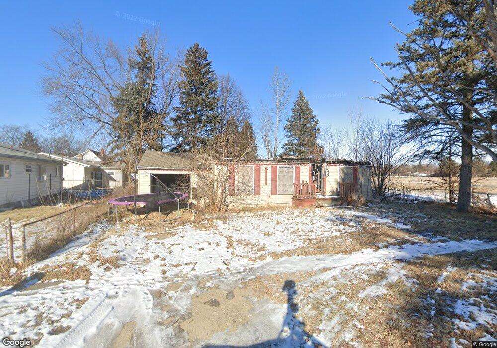
1210 Chatham Dr Flint, MI 48505
Brownell NeighborhoodEstimated Value: $70,000 - $72,691
4
Beds
2
Baths
1,323
Sq Ft
$54/Sq Ft
Est. Value
About This Home
This home is located at 1210 Chatham Dr, Flint, MI 48505 and is currently estimated at $71,564, approximately $54 per square foot. 1210 Chatham Dr is a home located in Genesee County with nearby schools including Brownell STEM Academy, The New Standard Academy, and Eagle's Nest Academy.
Ownership History
Date
Name
Owned For
Owner Type
Purchase Details
Closed on
Dec 21, 2021
Sold by
Genesee County Treasurer
Bought by
Genesee County Land Bank Authority
Current Estimated Value
Purchase Details
Closed on
Sep 29, 2016
Sold by
Wilmington Savings Fund Society Fsb
Bought by
Morgan Tate & Brewer Llc
Purchase Details
Closed on
Jan 8, 2014
Sold by
Austin Saquila A and Austin Saquila
Bought by
Ocwen Loan Servicing Llc
Purchase Details
Closed on
Aug 25, 2004
Sold by
Coulter Ruth and Coulter Gale
Bought by
Austin Saquila A and Austin Saquila
Create a Home Valuation Report for This Property
The Home Valuation Report is an in-depth analysis detailing your home's value as well as a comparison with similar homes in the area
Home Values in the Area
Average Home Value in this Area
Purchase History
| Date | Buyer | Sale Price | Title Company |
|---|---|---|---|
| Genesee County Land Bank Authority | -- | None Listed On Document | |
| Morgan Tate & Brewer Llc | -- | Premium Title Services Inc | |
| Ocwen Loan Servicing Llc | $7,500 | None Available | |
| Austin Saquila A | $60,770 | Metropolitan Title Company |
Source: Public Records
Tax History Compared to Growth
Tax History
| Year | Tax Paid | Tax Assessment Tax Assessment Total Assessment is a certain percentage of the fair market value that is determined by local assessors to be the total taxable value of land and additions on the property. | Land | Improvement |
|---|---|---|---|---|
| 2025 | -- | $0 | $0 | $0 |
| 2024 | -- | $0 | $0 | $0 |
| 2023 | -- | $0 | $0 | $0 |
| 2022 | $0 | $0 | $0 | $0 |
| 2021 | $503 | $3,500 | $0 | $0 |
| 2020 | $477 | $5,600 | $0 | $0 |
| 2019 | $477 | $5,700 | $0 | $0 |
| 2018 | $435 | $3,800 | $0 | $0 |
| 2017 | $428 | $0 | $0 | $0 |
| 2016 | $437 | $0 | $0 | $0 |
| 2015 | -- | $0 | $0 | $0 |
| 2014 | -- | $0 | $0 | $0 |
| 2012 | -- | $13,800 | $0 | $0 |
Source: Public Records
Map
Nearby Homes
- 6628 Orange Ln
- 6814 Colonial Dr
- 6610 Cranwood Dr
- 6902 Sally Ct
- 6702 Cranwood Dr
- 6914 Daryll Dr
- 1605 Barbara Dr
- 618 W Austin Ave
- 1015 W Carpenter Rd
- 610 W Austin Ave
- 613 W Foss Ave
- 605 W Foss Ave
- 614 W Holbrook Ave
- 1816 Russet Place
- 536 W Home Ave
- 1709 W Home Ave
- 5610 Baldwin Blvd
- 5714 Suburban Ct
- 525 W Bundy Ave
- 405 W Lorado Ave