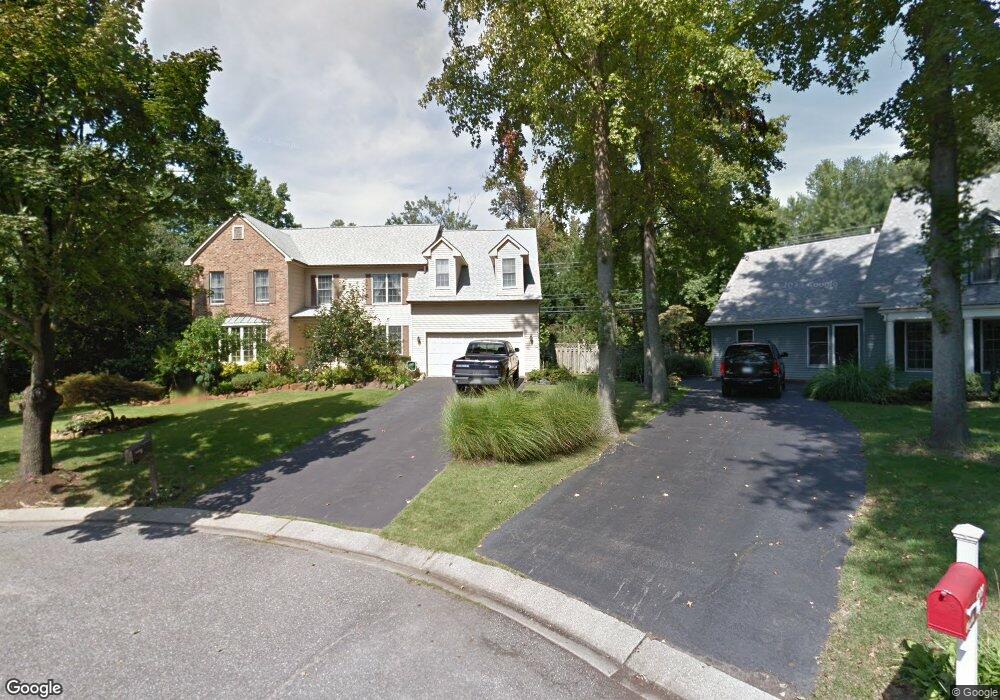
1210 Chrisland Ct Annapolis, MD 21403
Estimated Value: $1,043,000 - $1,292,000
--
Bed
4
Baths
3,781
Sq Ft
$309/Sq Ft
Est. Value
About This Home
This home is located at 1210 Chrisland Ct, Annapolis, MD 21403 and is currently estimated at $1,166,523, approximately $308 per square foot. 1210 Chrisland Ct is a home located in Anne Arundel County with nearby schools including Georgetown East Elementary School, Annapolis Middle School, and Annapolis High School.
Ownership History
Date
Name
Owned For
Owner Type
Purchase Details
Closed on
Jan 31, 1994
Sold by
Brigham B L
Bought by
Park Bobby L
Current Estimated Value
Home Financials for this Owner
Home Financials are based on the most recent Mortgage that was taken out on this home.
Original Mortgage
$260,000
Interest Rate
7.11%
Purchase Details
Closed on
Oct 25, 1988
Sold by
Ogleton Associates
Bought by
Brigham Bobby L
Home Financials for this Owner
Home Financials are based on the most recent Mortgage that was taken out on this home.
Original Mortgage
$233,450
Interest Rate
10.28%
Create a Home Valuation Report for This Property
The Home Valuation Report is an in-depth analysis detailing your home's value as well as a comparison with similar homes in the area
Home Values in the Area
Average Home Value in this Area
Purchase History
| Date | Buyer | Sale Price | Title Company |
|---|---|---|---|
| Park Bobby L | $325,000 | -- | |
| Brigham Bobby L | $279,400 | -- |
Source: Public Records
Mortgage History
| Date | Status | Borrower | Loan Amount |
|---|---|---|---|
| Closed | Park Bobby L | $260,000 | |
| Previous Owner | Brigham Bobby L | $233,450 |
Source: Public Records
Tax History Compared to Growth
Tax History
| Year | Tax Paid | Tax Assessment Tax Assessment Total Assessment is a certain percentage of the fair market value that is determined by local assessors to be the total taxable value of land and additions on the property. | Land | Improvement |
|---|---|---|---|---|
| 2025 | $3,113 | $850,833 | -- | -- |
| 2024 | $3,113 | $786,567 | $0 | $0 |
| 2023 | $3,744 | $722,300 | $288,000 | $434,300 |
| 2022 | $3,344 | $717,333 | $0 | $0 |
| 2021 | $6,525 | $712,367 | $0 | $0 |
| 2020 | $5,699 | $707,400 | $278,000 | $429,400 |
| 2019 | $2,893 | $698,367 | $0 | $0 |
| 2018 | $6,990 | $689,333 | $0 | $0 |
| 2017 | $2,645 | $680,300 | $0 | $0 |
| 2016 | -- | $659,133 | $0 | $0 |
| 2015 | -- | $637,967 | $0 | $0 |
| 2014 | -- | $616,800 | $0 | $0 |
Source: Public Records
Map
Nearby Homes
- 3126 Port Way
- 3117 Port Way
- 1141 Mainsail Dr
- 3259 Chrisland Dr
- 1009 Dulaney Ln
- 1230 Crummell Ave
- 2656A Queen Anne Cir
- 1003 Dulaney Ln
- 3123 Arundel on The Bay Rd
- 3209 Henson Ave
- 1009 Pinecrest Dr
- 2638 Carrollton Rd
- 1004A Harbor Dr
- 1192 Bay Highlands Dr
- 1193 Bay Highlands Dr
- 3276 Kitty Duvall Dr
- 3210 Bruce Ave
- 3268 Kitty Duvall Dr
- 962 Old Annapolis Neck Rd
- 988 Breakwater Dr
- 1208 Chrisland Ct
- 1209 Chrisland Ct
- 1177 Bay Ridge Rd
- 1175 Bay Ridge Rd
- 1207 Chrisland Ct
- 1206 Chrisland Ct
- 3 Dale Dr
- 1173 Bay Ridge Rd
- 1154 Bay Ridge Rd
- 1205 Chrisland Ct
- 4 Dale Dr
- 1 Dale Dr
- 3141 Anchorage Dr
- 1251 Pram Place
- 1203 Chrisland Ct
- 5 Dale Dr
- 1204 Chrisland Ct
- 3207 Chrisland Dr
- 1250 Pram Place
- 1102 Mainsail Dr