1210 Fire Rock Loop Unit 6 Templeton, CA 93465
Estimated Value: $1,860,000 - $2,127,000
4
Beds
5
Baths
3,294
Sq Ft
$609/Sq Ft
Est. Value
About This Home
This home is located at 1210 Fire Rock Loop Unit 6, Templeton, CA 93465 and is currently estimated at $2,005,773, approximately $608 per square foot. 1210 Fire Rock Loop Unit 6 is a home located in San Luis Obispo County with nearby schools including Pat Butler Elementary School, George H. Flamson Middle School, and Paso Robles High School.
Ownership History
Date
Name
Owned For
Owner Type
Purchase Details
Closed on
Oct 6, 2025
Sold by
Riedel Dale A and Riedel Jennifer A
Bought by
Riedel Marital Trust and Riedel
Current Estimated Value
Home Financials for this Owner
Home Financials are based on the most recent Mortgage that was taken out on this home.
Original Mortgage
$1,780,000
Outstanding Balance
$1,778,391
Interest Rate
6.5%
Mortgage Type
VA
Estimated Equity
$227,382
Purchase Details
Closed on
Oct 14, 2024
Sold by
Riedel Dale A and Riedel Jennifer A
Bought by
Riedel Marital Trust and Riedel
Purchase Details
Closed on
Nov 28, 2023
Sold by
Durbin Henderson Family Revocable Trust
Bought by
Riedel Dale A and Riedel Jennifer A
Home Financials for this Owner
Home Financials are based on the most recent Mortgage that was taken out on this home.
Original Mortgage
$1,775,000
Interest Rate
7.79%
Mortgage Type
VA
Purchase Details
Closed on
Jan 12, 2017
Sold by
1210 Fire Rock Llc
Bought by
Henderson David Duff and Durbin Mary Loretta
Home Financials for this Owner
Home Financials are based on the most recent Mortgage that was taken out on this home.
Original Mortgage
$828,750
Interest Rate
4.19%
Mortgage Type
New Conventional
Purchase Details
Closed on
Dec 19, 2016
Sold by
Grunigen Erik and Taylor Richard
Bought by
1210 Fire Rock Llc
Home Financials for this Owner
Home Financials are based on the most recent Mortgage that was taken out on this home.
Original Mortgage
$828,750
Interest Rate
4.19%
Mortgage Type
New Conventional
Purchase Details
Closed on
Jun 3, 2014
Sold by
Grunigen Erin
Bought by
Grunigen Erik
Purchase Details
Closed on
Feb 22, 2014
Sold by
Re Future Llc
Bought by
Grunigen Erik and Taylor Richard
Home Financials for this Owner
Home Financials are based on the most recent Mortgage that was taken out on this home.
Original Mortgage
$678,000
Interest Rate
4.16%
Mortgage Type
Balloon
Purchase Details
Closed on
Jan 4, 2011
Sold by
Weyrich Development Company Inc
Bought by
Re Future Llc
Create a Home Valuation Report for This Property
The Home Valuation Report is an in-depth analysis detailing your home's value as well as a comparison with similar homes in the area
Purchase History
| Date | Buyer | Sale Price | Title Company |
|---|---|---|---|
| Riedel Marital Trust | -- | Chicago Title Company | |
| Riedel Dale A | -- | Chicago Title Company | |
| Riedel Marital Trust | -- | None Listed On Document | |
| Riedel Dale A | $1,775,000 | Placer Title | |
| Henderson David Duff | $975,000 | First American Title Company | |
| 1210 Fire Rock Llc | -- | None Available | |
| Grunigen Erik | -- | First American Title Company | |
| Grunigen Erik | $119,000 | First American Title Company | |
| Re Future Llc | $8,230,000 | First American Title Ins Co |
Source: Public Records
Mortgage History
| Date | Status | Borrower | Loan Amount |
|---|---|---|---|
| Open | Riedel Dale A | $1,780,000 | |
| Previous Owner | Riedel Dale A | $1,775,000 | |
| Previous Owner | Henderson David Duff | $828,750 | |
| Previous Owner | Grunigen Erik | $678,000 |
Source: Public Records
Tax History
| Year | Tax Paid | Tax Assessment Tax Assessment Total Assessment is a certain percentage of the fair market value that is determined by local assessors to be the total taxable value of land and additions on the property. | Land | Improvement |
|---|---|---|---|---|
| 2025 | $19,081 | $1,810,500 | $510,000 | $1,300,500 |
| 2024 | $11,681 | $1,775,000 | $500,000 | $1,275,000 |
| 2023 | $11,681 | $1,087,627 | $390,429 | $697,198 |
| 2022 | $11,479 | $1,066,302 | $382,774 | $683,528 |
| 2021 | $11,253 | $1,045,395 | $375,269 | $670,126 |
| 2020 | $11,137 | $1,034,677 | $371,422 | $663,255 |
| 2019 | $10,917 | $1,014,390 | $364,140 | $650,250 |
| 2018 | $10,701 | $994,500 | $357,000 | $637,500 |
| 2017 | $8,030 | $775,691 | $150,691 | $625,000 |
| 2016 | $10,406 | $1,005,227 | $123,227 | $882,000 |
| 2015 | $1,722 | $166,377 | $121,377 | $45,000 |
| 2014 | $1,327 | $130,640 | $130,640 | $0 |
Source: Public Records
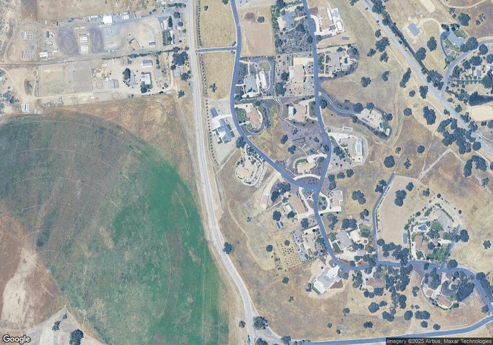
Map
Nearby Homes
- 1810 LOT 28 Fire Rock Loop
- 1320 Fire Rock Loop
- 1880 Fire Rock Loop
- 1410 Fire Rock Loop
- 1920 Fire Rock Loop
- 2220 Battering Rock Rd
- 1505 Barley Grain Rd
- 2264 Lake Ysabel Rd
- 1655 Barley Grain Rd
- 1690 Barley Grain Rd
- 2438 Battering Rock Rd
- 829 Saint Andrews Cir
- 795 Angus St
- 1720 Willowbank Ln
- 192 Sandbar Ct
- 470 Kenton Ct
- 907 Saint Ann Dr
- 0 Volpi Ysabel Rd
- 911 Saint Ann Dr
- 1736 Wade Dr
- 1210 Fire Rock Loop
- 1160 Fire Rock Loop
- 1160 Fire Rock Loop Unit 5
- 1240 Fire Rock Loop
- 1240 Fire Rock Loop Unit 7
- 1225 Fire Rock Loop Unit 19
- 1225 Fire Rock Loop
- 1625 Fire Rock Loop
- 1625 Fire Rock Loop Unit 25
- 1665 Fire Rock Loop
- 1665 Fire Rock Loop Unit 18
- 1715 Fire Rock Loop Unit 4
- 1715 Fire Rock Loop
- 1680 Fire Rock Loop Unit 26
- 1680 Fire Rock Loop
- 1275 Fire Rock Loop Unit 20
- 1275 Fire Rock Loop
- 1280 Fire Rock Loop
- 1280 Fire Rock Loop Unit 8
- 1585 Fire Rock Loop
Your Personal Tour Guide
Ask me questions while you tour the home.