1210 Highway 67 Princeton, IA 52768
Estimated Value: $423,000 - $619,002
3
Beds
5
Baths
3,544
Sq Ft
$152/Sq Ft
Est. Value
About This Home
This home is located at 1210 Highway 67, Princeton, IA 52768 and is currently estimated at $537,501, approximately $151 per square foot. 1210 Highway 67 is a home with nearby schools including Virgil Grissom Elementary School, North Scott Junior High School, and North Scott Senior High School.
Ownership History
Date
Name
Owned For
Owner Type
Purchase Details
Closed on
Apr 26, 2021
Sold by
Mcelyea James M and Mcelyea Madge H
Bought by
Mcelyea Family Trust and Mcelyea
Current Estimated Value
Purchase Details
Closed on
Sep 26, 2005
Sold by
Sirva Relocation Credit Llc
Bought by
Hill H Ronald and Hill Sally
Home Financials for this Owner
Home Financials are based on the most recent Mortgage that was taken out on this home.
Original Mortgage
$194,000
Interest Rate
5.82%
Mortgage Type
New Conventional
Purchase Details
Closed on
Aug 7, 2005
Sold by
Brija Towery David and Brija Towery Judy
Bought by
Sirva Relocation Credit Llc
Home Financials for this Owner
Home Financials are based on the most recent Mortgage that was taken out on this home.
Original Mortgage
$194,000
Interest Rate
5.82%
Mortgage Type
New Conventional
Create a Home Valuation Report for This Property
The Home Valuation Report is an in-depth analysis detailing your home's value as well as a comparison with similar homes in the area
Home Values in the Area
Average Home Value in this Area
Purchase History
| Date | Buyer | Sale Price | Title Company |
|---|---|---|---|
| Mcelyea Family Trust | -- | None Listed On Document | |
| Hill H Ronald | $297,500 | None Available | |
| Sirva Relocation Credit Llc | $297,500 | Stewart Title Guaranty Compa |
Source: Public Records
Mortgage History
| Date | Status | Borrower | Loan Amount |
|---|---|---|---|
| Previous Owner | Hill H Ronald | $194,000 |
Source: Public Records
Tax History Compared to Growth
Tax History
| Year | Tax Paid | Tax Assessment Tax Assessment Total Assessment is a certain percentage of the fair market value that is determined by local assessors to be the total taxable value of land and additions on the property. | Land | Improvement |
|---|---|---|---|---|
| 2025 | $7,808 | $567,400 | $146,000 | $421,400 |
| 2024 | $7,052 | $559,000 | $146,000 | $413,000 |
| 2023 | $6,548 | $559,000 | $146,000 | $413,000 |
| 2022 | $6,904 | $445,580 | $79,900 | $365,680 |
| 2021 | $6,904 | $445,580 | $79,900 | $365,680 |
| 2020 | $7,280 | $435,220 | $79,900 | $355,320 |
| 2019 | $7,298 | $435,220 | $79,900 | $355,320 |
| 2018 | $7,374 | $435,220 | $79,900 | $355,320 |
| 2017 | $6,318 | $435,220 | $79,900 | $355,320 |
| 2016 | $6,216 | $366,400 | $0 | $0 |
| 2015 | $6,216 | $209,900 | $0 | $0 |
| 2014 | $3,544 | $203,080 | $0 | $0 |
| 2013 | $3,366 | $0 | $0 | $0 |
| 2012 | -- | $203,080 | $79,900 | $123,180 |
Source: Public Records
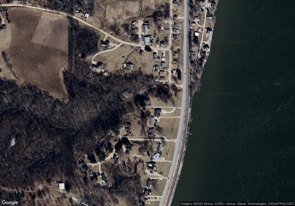
Map
Nearby Homes
- 1023 2nd St
- 1005 2nd St
- 1502 Highway 67
- Lot 25 238th St
- 28055 238th St
- 110 8th St S
- 104 Illinois 84
- 27998 229th St
- 22799 Great River Rd
- 28009 230th St
- 11816 N 84 Hwy
- 16808 River Rd N
- 28176 226th St
- 22206 280th Ave
- 18312 River Rd N
- Lot 3 Lakeside Dr
- Lot 4 Lakeside Dr
- 27841 Bowker Dr
- 1914 Ridgefield Dr
- 11 Viola Dr