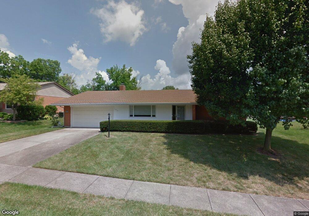
1210 Normandy Dr Hamilton, OH 45013
Estimated Value: $275,316 - $284,000
3
Beds
3
Baths
1,961
Sq Ft
$142/Sq Ft
Est. Value
About This Home
This home is located at 1210 Normandy Dr, Hamilton, OH 45013 and is currently estimated at $279,329, approximately $142 per square foot. 1210 Normandy Dr is a home located in Butler County with nearby schools including Ridgeway Elementary School, Wilson Middle School, and Hamilton High School Main Campus.
Ownership History
Date
Name
Owned For
Owner Type
Purchase Details
Closed on
Jan 31, 2024
Sold by
Ratliff Margie J
Bought by
Bailey Hannah M
Current Estimated Value
Home Financials for this Owner
Home Financials are based on the most recent Mortgage that was taken out on this home.
Original Mortgage
$201,286
Outstanding Balance
$197,171
Interest Rate
6.66%
Mortgage Type
Credit Line Revolving
Estimated Equity
$82,158
Purchase Details
Closed on
Sep 25, 2006
Sold by
Baker Barbara B
Bought by
Ratliff Margie J
Purchase Details
Closed on
Jan 1, 1987
Create a Home Valuation Report for This Property
The Home Valuation Report is an in-depth analysis detailing your home's value as well as a comparison with similar homes in the area
Home Values in the Area
Average Home Value in this Area
Purchase History
| Date | Buyer | Sale Price | Title Company |
|---|---|---|---|
| Bailey Hannah M | $205,000 | None Listed On Document | |
| Ratliff Margie J | $141,000 | None Available | |
| -- | $75,500 | -- |
Source: Public Records
Mortgage History
| Date | Status | Borrower | Loan Amount |
|---|---|---|---|
| Open | Bailey Hannah M | $201,286 |
Source: Public Records
Tax History
| Year | Tax Paid | Tax Assessment Tax Assessment Total Assessment is a certain percentage of the fair market value that is determined by local assessors to be the total taxable value of land and additions on the property. | Land | Improvement |
|---|---|---|---|---|
| 2025 | $2,376 | $65,790 | $10,330 | $55,460 |
| 2024 | $2,376 | $65,790 | $10,330 | $55,460 |
| 2023 | $2,378 | $65,790 | $10,330 | $55,460 |
| 2022 | $3,121 | $47,940 | $10,330 | $37,610 |
| 2021 | $1,703 | $46,350 | $10,330 | $36,020 |
| 2020 | $1,774 | $46,350 | $10,330 | $36,020 |
| 2019 | $3,126 | $42,690 | $10,420 | $32,270 |
| 2018 | $1,578 | $42,690 | $10,420 | $32,270 |
| 2017 | $1,591 | $42,690 | $10,420 | $32,270 |
| 2016 | $1,518 | $39,610 | $10,420 | $29,190 |
| 2015 | $1,510 | $39,610 | $10,420 | $29,190 |
| 2014 | $1,368 | $39,610 | $10,420 | $29,190 |
| 2013 | $1,368 | $38,530 | $10,420 | $28,110 |
Source: Public Records
Map
Nearby Homes
- 672 Glenway Dr
- 108 Mollie Dr
- 936 Elizabeth Dr
- 974 Westview Ave
- 1475 Diana Dr
- 732 Millville Ave
- 238 Twinbrook Dr
- 540 Carlisle Ave
- 1370 Ross Hanover Rd
- 1326 Franklin St
- 346 Hyde Park Dr
- 451 Millville Ave
- 839 Millikin St
- 570 Fairhaven Dr
- 781 Columbia Rd
- 30 Berkshire Ct
- 925 Carlisle Ave
- 1116 Azel Ave
- 987 Carlisle Ave
- 1102 Arbor Springs Dr