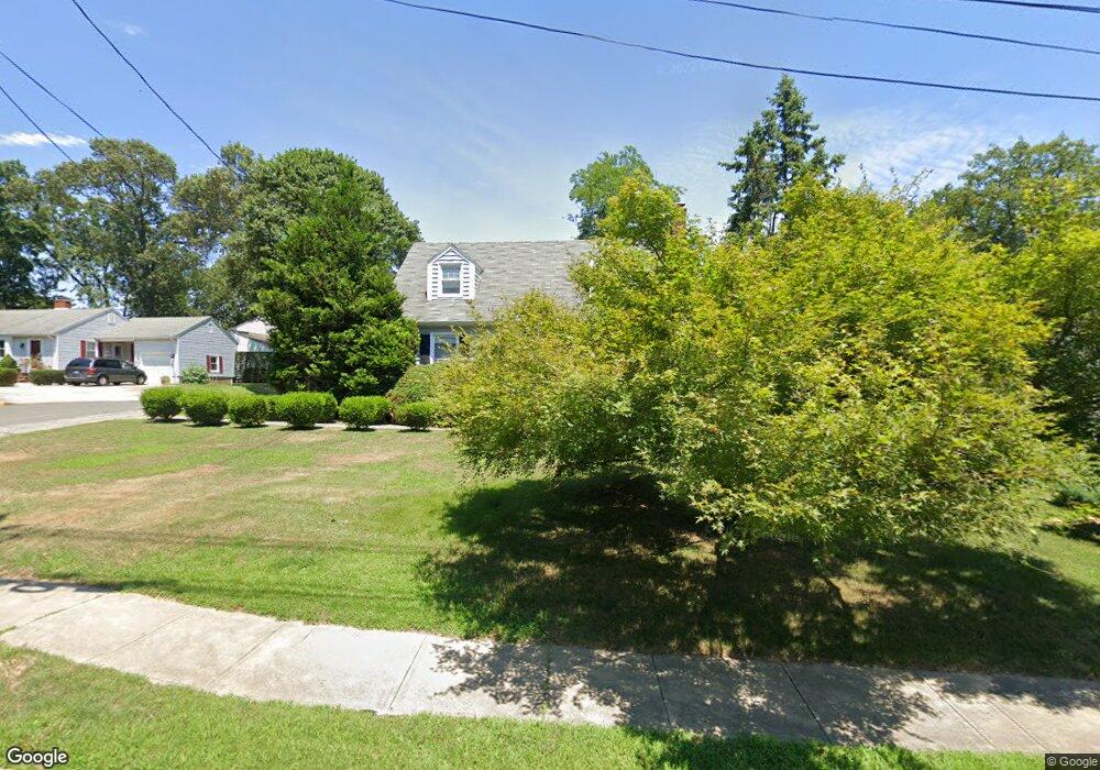
1210 Ocean Rd Spring Lake, NJ 07762
Estimated Value: $946,713 - $1,169,000
3
Beds
1
Bath
1,716
Sq Ft
$615/Sq Ft
Est. Value
About This Home
This home is located at 1210 Ocean Rd, Spring Lake, NJ 07762 and is currently estimated at $1,056,178, approximately $615 per square foot. 1210 Ocean Rd is a home located in Monmouth County with nearby schools including Spring Lake Heights Elementary School, The Brookside School, and St. Catharine School.
Ownership History
Date
Name
Owned For
Owner Type
Purchase Details
Closed on
Feb 22, 1995
Sold by
Marnel John
Bought by
Fay Kevin and Fay Heidi
Current Estimated Value
Home Financials for this Owner
Home Financials are based on the most recent Mortgage that was taken out on this home.
Original Mortgage
$125,000
Interest Rate
9.17%
Create a Home Valuation Report for This Property
The Home Valuation Report is an in-depth analysis detailing your home's value as well as a comparison with similar homes in the area
Home Values in the Area
Average Home Value in this Area
Purchase History
We collect this data history from publicly available records. To have your information removed, we recommend requesting removal directly through your county’s website.
| Date | Buyer | Sale Price | Title Company |
|---|---|---|---|
| Fay Kevin | $160,000 | -- |
Source: Public Records
Mortgage History
We collect this data history from publicly available records. To have your information removed, we recommend requesting removal directly through your county’s website.
| Date | Status | Borrower | Loan Amount |
|---|---|---|---|
| Closed | Fay Kevin | $125,000 |
Source: Public Records
Tax History
| Year | Tax Paid | Tax Assessment Tax Assessment Total Assessment is a certain percentage of the fair market value that is determined by local assessors to be the total taxable value of land and additions on the property. | Land | Improvement |
|---|---|---|---|---|
| 2025 | $7,071 | $718,700 | $488,300 | $230,400 |
| 2024 | $7,337 | $671,500 | $445,400 | $226,100 |
| 2023 | $7,337 | $655,100 | $434,300 | $220,800 |
| 2022 | $6,376 | $531,000 | $291,200 | $239,800 |
| 2021 | $6,376 | $472,300 | $254,300 | $218,000 |
| 2020 | $6,141 | $452,200 | $254,300 | $197,900 |
| 2019 | $6,127 | $446,600 | $254,300 | $192,300 |
| 2018 | $6,093 | $432,100 | $254,300 | $177,800 |
| 2017 | $5,845 | $429,800 | $254,300 | $175,500 |
| 2016 | $5,664 | $411,300 | $249,300 | $162,000 |
| 2015 | $5,455 | $397,300 | $239,400 | $157,900 |
| 2014 | $5,563 | $414,200 | $257,400 | $156,800 |
Source: Public Records
Map
Nearby Homes
- 304 Old Mill Rd
- 1301 Wedgewood Rd
- 500 9th Ave
- 813 Ocean Rd
- 1302 W Chicago Blvd
- 574 Central Ave
- 2005 Nassau Dr
- 89 Maple Dr Unit 6
- 600 State Route 71 Unit 9
- 604 State Route 71
- 57 Maple Dr
- 570 Central Ave
- 1304 W Magnolia Ave
- 604 Monmouth Ave
- 3 Willow Ln
- 1936 Troy Dr
- 304 8th Ave
- 613 Beacon Blvd Unit Garage Apt.
- 9 Dogwood Ct
- 708 New York Blvd
Your Personal Tour Guide
Ask me questions while you tour the home.