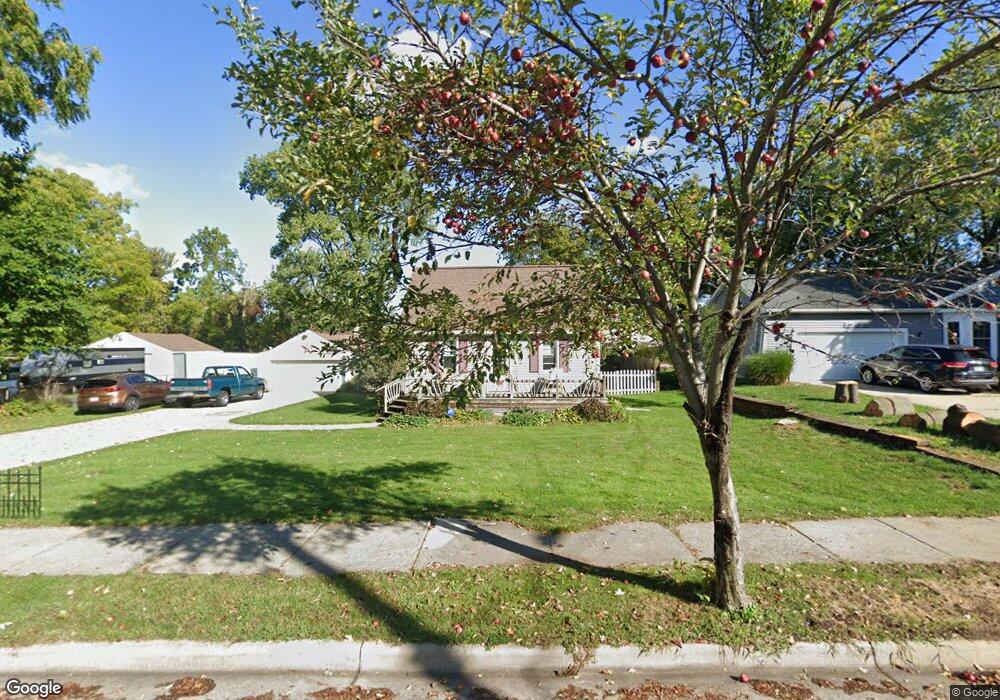
1210 Reo Rd Lansing, MI 48910
Pleasant Grove NeighborhoodEstimated Value: $81,000 - $124,000
3
Beds
1
Bath
773
Sq Ft
$137/Sq Ft
Est. Value
About This Home
This home is located at 1210 Reo Rd, Lansing, MI 48910 and is currently estimated at $106,270, approximately $137 per square foot. 1210 Reo Rd is a home located in Ingham County with nearby schools including Reo Elementary School, Attwood School, and Everett High School.
Ownership History
Date
Name
Owned For
Owner Type
Purchase Details
Closed on
Oct 21, 2019
Sold by
Smith Daniel M and Smith Jo Ann
Bought by
Smith Daniel M
Current Estimated Value
Create a Home Valuation Report for This Property
The Home Valuation Report is an in-depth analysis detailing your home's value as well as a comparison with similar homes in the area
Home Values in the Area
Average Home Value in this Area
Purchase History
| Date | Buyer | Sale Price | Title Company |
|---|---|---|---|
| Smith Daniel M | -- | None Listed On Document |
Source: Public Records
Tax History Compared to Growth
Tax History
| Year | Tax Paid | Tax Assessment Tax Assessment Total Assessment is a certain percentage of the fair market value that is determined by local assessors to be the total taxable value of land and additions on the property. | Land | Improvement |
|---|---|---|---|---|
| 2025 | $1,833 | $46,000 | $13,800 | $32,200 |
| 2024 | $14 | $39,900 | $13,800 | $26,100 |
| 2023 | $1,721 | $36,000 | $13,800 | $22,200 |
| 2022 | $1,555 | $32,400 | $11,900 | $20,500 |
| 2021 | $1,523 | $26,800 | $7,100 | $19,700 |
| 2020 | $1,513 | $24,700 | $7,100 | $17,600 |
| 2019 | $1,448 | $23,700 | $7,100 | $16,600 |
| 2018 | $1,360 | $22,600 | $7,100 | $15,500 |
| 2017 | $1,301 | $22,600 | $7,100 | $15,500 |
| 2016 | $1,338 | $22,300 | $7,100 | $15,200 |
| 2015 | $1,338 | $21,700 | $14,159 | $7,541 |
| 2014 | $1,338 | $23,100 | $20,766 | $2,334 |
Source: Public Records
Map
Nearby Homes
- 4414 S Martin Luther King jr Blvd
- 1415 Reo Rd
- 1420 Reo Rd
- 1429 Pierce Rd
- 1422 Pierce Rd
- 1500 Pierce Rd
- 4221 S Martin Luther King Junior Blvd
- 1324 N Briarfield Dr
- 1113 Eaton Ct
- 4916 Tressa Dr
- 0 Eaton Ct
- 833 Dornell Ave
- 4935 Delray Dr
- 1729 Reo Rd
- 4407 Burchfield Ave
- 0 W Jolly Rd
- 5026 Delray Dr Unit A
- 5006 Delbrook Ave
- 4114 Burchfield Dr
- VL Hillcrest St
- 1220 Reo Rd
- 1206 Reo Rd
- 1211 Reo Rd
- 1124 Reo Rd
- 1204 Reo Rd
- 1201 Reo Rd
- 1207 Reo Rd
- 1123 Reo Rd
- 1112 Reo Rd
- 1231 Reo Rd
- 1125 Reo Rd
- 1308 Reo Rd
- 1213 Pierce Rd
- 1309 Reo Rd
- 4504 S M l King jr Blvd
- 4516 S Martin Luther King jr Blvd
- 4526 S Martin Luther King jr Blvd
- 1316 Reo Rd
- 1231 Pierce Rd
- 1217 Pierce Rd