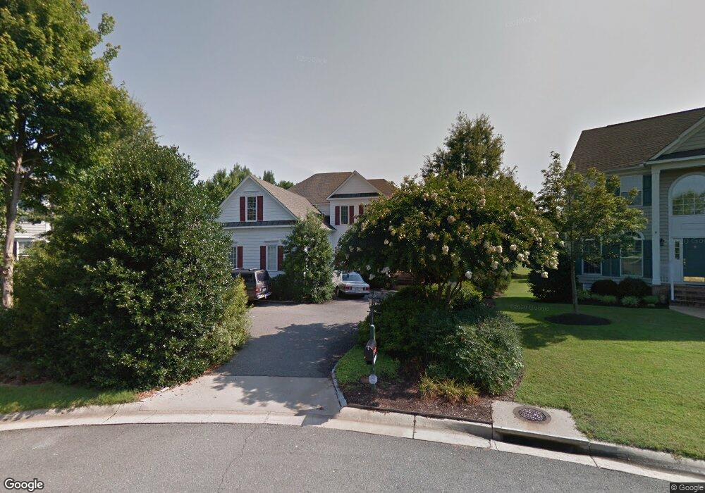
12100 Drumore Ct Glen Allen, VA 23059
Estimated Value: $885,552 - $1,068,000
4
Beds
4
Baths
3,602
Sq Ft
$264/Sq Ft
Est. Value
About This Home
This home is located at 12100 Drumore Ct, Glen Allen, VA 23059 and is currently estimated at $952,388, approximately $264 per square foot. 12100 Drumore Ct is a home located in Henrico County with nearby schools including Shady Grove Elementary School, Short Pump Middle School, and Deep Run High School.
Ownership History
Date
Name
Owned For
Owner Type
Purchase Details
Closed on
Jun 6, 2016
Sold by
Mcdonald Mary Kinlaw Lee
Bought by
The Mary K Mcdonald Revocable Trust
Current Estimated Value
Purchase Details
Closed on
Jan 9, 2002
Bought by
Mcdonald John E and Mcdonald Mary K
Home Financials for this Owner
Home Financials are based on the most recent Mortgage that was taken out on this home.
Original Mortgage
$100,000
Interest Rate
7.04%
Mortgage Type
New Conventional
Purchase Details
Closed on
Dec 28, 1998
Bought by
Mcdonald John E and Mcdonald Mary K
Home Financials for this Owner
Home Financials are based on the most recent Mortgage that was taken out on this home.
Original Mortgage
$227,150
Interest Rate
6.89%
Mortgage Type
New Conventional
Create a Home Valuation Report for This Property
The Home Valuation Report is an in-depth analysis detailing your home's value as well as a comparison with similar homes in the area
Home Values in the Area
Average Home Value in this Area
Purchase History
| Date | Buyer | Sale Price | Title Company |
|---|---|---|---|
| The Mary K Mcdonald Revocable Trust | -- | None Available | |
| Mcdonald John E | -- | -- | |
| Mcdonald John E | $423,000 | -- |
Source: Public Records
Mortgage History
| Date | Status | Borrower | Loan Amount |
|---|---|---|---|
| Previous Owner | Mcdonald John E | $100,000 | |
| Previous Owner | Mcdonald John E | $227,150 |
Source: Public Records
Tax History Compared to Growth
Tax History
| Year | Tax Paid | Tax Assessment Tax Assessment Total Assessment is a certain percentage of the fair market value that is determined by local assessors to be the total taxable value of land and additions on the property. | Land | Improvement |
|---|---|---|---|---|
| 2025 | $6,921 | $769,200 | $184,000 | $585,200 |
| 2024 | $6,921 | $769,200 | $184,000 | $585,200 |
| 2023 | $6,538 | $769,200 | $184,000 | $585,200 |
| 2022 | $5,898 | $693,900 | $184,000 | $509,900 |
| 2021 | $5,250 | $614,300 | $183,400 | $430,900 |
| 2020 | $5,344 | $614,300 | $183,400 | $430,900 |
| 2019 | $5,188 | $596,300 | $183,400 | $412,900 |
| 2018 | $5,188 | $596,300 | $183,400 | $412,900 |
| 2017 | $5,188 | $596,300 | $183,400 | $412,900 |
| 2016 | $5,188 | $596,300 | $183,400 | $412,900 |
| 2015 | $5,344 | $614,300 | $183,400 | $430,900 |
| 2014 | $5,344 | $614,300 | $183,400 | $430,900 |
Source: Public Records
Map
Nearby Homes
- 12100 Manor Park Dr
- 6233 Kershaw Dr
- 12012 Layton Dr
- 5900 Maybrook Dr
- 12504 Collinstone Ct
- 6009 Chestnut Hill Dr
- 12410 Creek Mill Ct
- 14357 Western Riders Ln
- 11824 Park Forest Way
- 6573 Glenshaw Dr
- 5410 Ridgedale Dr
- 5408 Fuller Dr
- 5400 Fuller Dr
- 5604 Ashton Park Ct
- 10813 Cherry Hill Dr
- 10801 Cherry Hill Dr
- 12309 Hardwick Ct
- 5525 Barnsley Terrace
- 5557 Holman Dr
- 7025 Benhall Cir
- 12101 Drumore Ct
- 12104 Drumore Ct
- 12105 Drumore Ct
- 12101 Denford Ct
- 12105 Denford Ct
- 12108 Drumore Ct
- 12140 Drumore Ct
- 6304 Morestead Dr
- 12109 Drumore Ct
- 6308 Morestead Dr
- 12100 Denford Ct
- 12109 Denford Ct
- 12000 Drumore Way
- 12113 Denford Ct
- 12001 Drumore Way
- 12101 Manor Park Dr
- 12104 Denford Ct
- 12201 Malham Way
- 12108 Denford Ct
- 12200 Malham Way