12100 Wilder Rd Red Bluff, CA 96080
Estimated Value: $382,000 - $483,000
4
Beds
2
Baths
1,636
Sq Ft
$259/Sq Ft
Est. Value
About This Home
This home is located at 12100 Wilder Rd, Red Bluff, CA 96080 and is currently estimated at $423,449, approximately $258 per square foot. 12100 Wilder Rd is a home located in Tehama County with nearby schools including William M. Metteer Elementary School, Vista Preparatory Academy, and Red Bluff High School.
Ownership History
Date
Name
Owned For
Owner Type
Purchase Details
Closed on
Jun 10, 2021
Sold by
Dennis Sheila E
Bought by
Dennis Sheila E and The Sheila Edalane Dennis Trus
Current Estimated Value
Purchase Details
Closed on
Jun 4, 2009
Sold by
Cumpston Dale and Dennis Sheila E
Bought by
Dennis Sheila E
Purchase Details
Closed on
Nov 23, 2005
Sold by
Dennis Sheila E
Bought by
Dennis Sheila E
Home Financials for this Owner
Home Financials are based on the most recent Mortgage that was taken out on this home.
Original Mortgage
$146,000
Interest Rate
6.31%
Mortgage Type
Stand Alone Refi Refinance Of Original Loan
Create a Home Valuation Report for This Property
The Home Valuation Report is an in-depth analysis detailing your home's value as well as a comparison with similar homes in the area
Purchase History
| Date | Buyer | Sale Price | Title Company |
|---|---|---|---|
| Dennis Sheila E | -- | None Available | |
| Dennis Sheila E | -- | Chicago Title | |
| Dennis Sheila E | -- | First American Heritage Titl |
Source: Public Records
Mortgage History
| Date | Status | Borrower | Loan Amount |
|---|---|---|---|
| Closed | Dennis Sheila E | $146,000 |
Source: Public Records
Tax History
| Year | Tax Paid | Tax Assessment Tax Assessment Total Assessment is a certain percentage of the fair market value that is determined by local assessors to be the total taxable value of land and additions on the property. | Land | Improvement |
|---|---|---|---|---|
| 2025 | $3,299 | $331,971 | $41,522 | $290,449 |
| 2023 | $3,242 | $319,081 | $39,910 | $279,171 |
| 2022 | $3,222 | $312,826 | $39,128 | $273,698 |
| 2021 | $2,783 | $277,020 | $38,361 | $238,659 |
| 2020 | $2,760 | $266,560 | $37,968 | $228,592 |
| 2019 | $2,466 | $232,903 | $37,224 | $195,679 |
| 2018 | $2,279 | $228,338 | $36,495 | $191,843 |
| 2017 | $2,298 | $223,862 | $35,780 | $188,082 |
| 2016 | $2,145 | $219,474 | $35,079 | $184,395 |
| 2015 | $2,110 | $216,179 | $34,553 | $181,626 |
| 2014 | $2,079 | $211,946 | $33,877 | $178,069 |
Source: Public Records
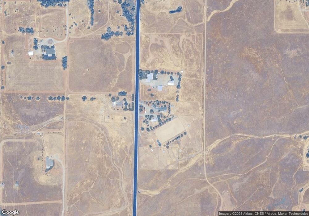
Map
Nearby Homes
- 0 Stewart Rd Unit 20250381
- 0 Stewart Rd Unit 20250380
- 20050 Plains Dr
- 20285 Stewart Rd
- 20225 Stewart Rd
- 329 Michael Dr
- 340 Christina Dr
- 12890 Ivy Ln
- 12915 Gardenia Ave
- 2030 Pebblestone Dr
- 1235 Britt Ln
- 1560 Carl Ct
- 1455 Acacia St
- 550 Bayles Ave
- 10.04 Vista Way
- 56.19 Vista Way
- 1645 Aloha St
- 12072 Alta Vista Ct
- 19542 Ridge Rd
- 1040 Wetter Way
- 12150 Wilder Rd
- 12125 Wilder Rd
- 000 Sundance Dr
- 20509 Live Oak Rd
- 20405 Live Oak Rd
- 20479 Live Oak Rd Unit 12205 Wilder Rd.
- 12075 Thunderbird Dr
- 0 Thunderbird Dr Unit Lot 37 Brown Tract
- 0 King
- 12280 Wilder Rd
- 12277 Wilder Rd
- 20665 Live Oak Rd
- 20410 Live Oak Rd
- 12150 Thunderbird Dr Unit 12150 THUNDERBIRD DR
- 12150 Thunderbird Dr
- 0 Wilder Rd Unit TC200800670
- 0 Wilder Rd Unit TC200901576
- 0 Wilder Rd Unit TC201000230
- 0 Wilder Rd Unit TC201000229
- 0 Wilder Rd Unit TC201040111
Your Personal Tour Guide
Ask me questions while you tour the home.