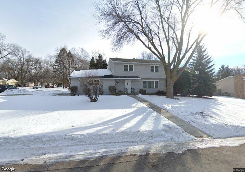
12101 Allen Dr Burnsville, MN 55337
Estimated Value: $403,193 - $429,000
4
Beds
2
Baths
2,488
Sq Ft
$167/Sq Ft
Est. Value
About This Home
This home is located at 12101 Allen Dr, Burnsville, MN 55337 and is currently estimated at $415,798, approximately $167 per square foot. 12101 Allen Dr is a home located in Dakota County with nearby schools including William Byrne Elementary School, Burnsville High School, and Gateway STEM Academy.
Ownership History
Date
Name
Owned For
Owner Type
Purchase Details
Closed on
Aug 22, 2022
Sold by
David James Enterprises Llc
Bought by
Mclaughlin Mattie
Current Estimated Value
Home Financials for this Owner
Home Financials are based on the most recent Mortgage that was taken out on this home.
Original Mortgage
$255,000
Outstanding Balance
$243,380
Interest Rate
5.3%
Mortgage Type
New Conventional
Estimated Equity
$172,418
Purchase Details
Closed on
Jan 23, 2017
Sold by
Thomas Allen Inc
Bought by
Peterman David A and Perron James T
Create a Home Valuation Report for This Property
The Home Valuation Report is an in-depth analysis detailing your home's value as well as a comparison with similar homes in the area
Home Values in the Area
Average Home Value in this Area
Purchase History
| Date | Buyer | Sale Price | Title Company |
|---|---|---|---|
| Mclaughlin Mattie | $340,000 | -- | |
| Peterman David A | -- | None Available |
Source: Public Records
Mortgage History
| Date | Status | Borrower | Loan Amount |
|---|---|---|---|
| Open | Mclaughlin Mattie | $255,000 |
Source: Public Records
Tax History Compared to Growth
Tax History
| Year | Tax Paid | Tax Assessment Tax Assessment Total Assessment is a certain percentage of the fair market value that is determined by local assessors to be the total taxable value of land and additions on the property. | Land | Improvement |
|---|---|---|---|---|
| 2024 | $4,038 | $364,600 | $86,300 | $278,300 |
| 2023 | $4,038 | $357,900 | $86,400 | $271,500 |
| 2022 | $3,062 | $343,200 | $86,200 | $257,000 |
| 2021 | $3,168 | $284,200 | $74,900 | $209,300 |
| 2020 | $3,112 | $278,500 | $71,400 | $207,100 |
| 2019 | $3,135 | $263,500 | $68,000 | $195,500 |
| 2018 | $3,121 | $252,100 | $64,700 | $187,400 |
| 2017 | $3,124 | $243,500 | $61,600 | $181,900 |
| 2016 | $2,918 | $238,900 | $58,700 | $180,200 |
| 2015 | $2,792 | $214,000 | $48,000 | $166,000 |
| 2014 | -- | $214,100 | $47,100 | $167,000 |
| 2013 | -- | $199,100 | $43,100 | $156,000 |
Source: Public Records
Map
Nearby Homes
- 11921 Baypoint Dr
- 12232 Oak Leaf Cir
- 11900 Highland View Cir
- 72 River Woods Ln
- 2005 E 122nd St Unit A7
- 2005 E 122nd St Unit A14
- 2005 E 122nd St Unit A23
- 2011 E 122nd St Unit D24
- 55 River Woods Ln
- 2300 Villaburne Ct W
- 2007 E 122nd St Unit B15
- 2400 E 125th St
- 11902 River Hills Cir
- 2200 Horizon Rd
- 145 River Woods Ln
- 146 River Woods Ln
- 319 River Woods Ln
- 188 River Woods Ln
- 221 River Woods Ln
- 3309 Red Oak Cir N
- 12105 Allen Dr
- 2505 E 121st St
- 2504 E 122nd St
- 2501 Allen Dr
- 12104 Allen Dr
- 1905 Allen Dr 1706
- 2504 E 121st St
- 12100 Allen Dr
- 12108 Allen Dr
- 2509 E 121st St
- 2508 E 122nd St
- 2505 Allen Dr
- 2508 E 121st St
- 2501 E 122nd St
- 2500 Allen Dr
- 12113 24th Ave S
- 12109 12109 24th-Avenue-s
- 12109 24th Ave S
- 2505 E 122nd St
- 12117 24th Ave S