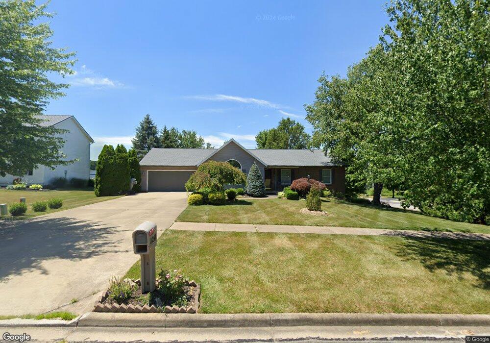
1211 Berwyck Ct Ashland, OH 44805
Estimated Value: $332,000 - $398,000
3
Beds
3
Baths
2,120
Sq Ft
$166/Sq Ft
Est. Value
About This Home
This home is located at 1211 Berwyck Ct, Ashland, OH 44805 and is currently estimated at $351,954, approximately $166 per square foot. 1211 Berwyck Ct is a home located in Ashland County with nearby schools including Ashland High School, Ashland County Community Academy, and St. Edward Elementary School.
Ownership History
Date
Name
Owned For
Owner Type
Purchase Details
Closed on
Mar 14, 2013
Sold by
Peterson Norman L
Bought by
Peterson Eric R and Kaylor Charmaine A
Current Estimated Value
Purchase Details
Closed on
Sep 14, 1999
Sold by
Peterson Norman L
Bought by
Peterson Norman L
Purchase Details
Closed on
Oct 13, 1998
Sold by
Peters William C
Bought by
Peterson Norman L
Purchase Details
Closed on
Oct 24, 1997
Sold by
Hawks Rodney
Bought by
Peters William C
Purchase Details
Closed on
Jun 12, 1997
Sold by
Kitson Robert C
Bought by
Hawks Rodney
Purchase Details
Closed on
Jan 1, 1990
Bought by
Kitson Robert C
Create a Home Valuation Report for This Property
The Home Valuation Report is an in-depth analysis detailing your home's value as well as a comparison with similar homes in the area
Home Values in the Area
Average Home Value in this Area
Purchase History
| Date | Buyer | Sale Price | Title Company |
|---|---|---|---|
| Peterson Eric R | -- | -- | |
| Peterson Norman L | $172,000 | -- | |
| Peterson Norman L | $27,000 | -- | |
| Peters William C | $23,000 | -- | |
| Hawks Rodney | $23,000 | -- | |
| Kitson Robert C | -- | -- |
Source: Public Records
Tax History Compared to Growth
Tax History
| Year | Tax Paid | Tax Assessment Tax Assessment Total Assessment is a certain percentage of the fair market value that is determined by local assessors to be the total taxable value of land and additions on the property. | Land | Improvement |
|---|---|---|---|---|
| 2024 | $2,884 | $93,350 | $21,810 | $71,540 |
| 2023 | $2,884 | $93,350 | $21,810 | $71,540 |
| 2022 | $2,518 | $66,680 | $15,580 | $51,100 |
| 2021 | $2,534 | $66,680 | $15,580 | $51,100 |
| 2020 | $2,399 | $66,680 | $15,580 | $51,100 |
| 2019 | $2,192 | $57,740 | $14,830 | $42,910 |
| 2018 | $2,211 | $57,740 | $14,830 | $42,910 |
| 2017 | $2,220 | $57,740 | $14,830 | $42,910 |
| 2016 | $2,188 | $54,990 | $14,120 | $40,870 |
| 2015 | $2,169 | $54,990 | $14,120 | $40,870 |
| 2013 | $2,466 | $60,590 | $14,240 | $46,350 |
Source: Public Records
Map
Nearby Homes
- 1435 Township Road 853
- 1457 Township Road 853
- 1446 Township Road 805
- 0 Eagle Way
- 453 Hillcrest Dr
- 1109 Eastern Ave
- 1011 Eastern Ave
- 855 Eastern Ave
- 31 Morgan Ave
- 977-C Township Road 1514
- 977 Township Road 1514 Unit C
- 113 E Liberty St
- 421 Center St
- 531 Keen Ave
- 408 Cleveland Ave
- 517 E 5th St
- 347 E 4th St
- 219 W Washington St
- 415 W Liberty St
- 1581 County Road 995
- 0 Berwyck Ct
- 0 Berwyck Ct
- 1808 Olde Post Rd
- 1730 Olde Post Rd
- 1221 Berwyck Ct
- 1717 Olde Post Rd
- 1810 Olde Post Rd
- 1806 Olde Post Rd
- 1732 Olde Post Rd
- 1728 Olde Post Rd
- 1818 Olde Post Rd
- 1233 Berwyck Ct
- 1710 Olde Post Rd
- 1207 Danbury Ct
- 1241 Berwyck Ct
- 1820 Olde Post Rd
- 1225 Danbury Ct
- 1139 Surrey Cir
- 0 Surrey Cir