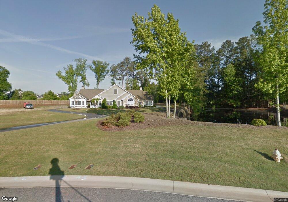
1211 Brookstone Way Unit 4 Augusta, GA 30909
Belair NeighborhoodEstimated Value: $296,000 - $344,000
2
Beds
2
Baths
1,867
Sq Ft
$168/Sq Ft
Est. Value
About This Home
This home is located at 1211 Brookstone Way Unit 4, Augusta, GA 30909 and is currently estimated at $314,353, approximately $168 per square foot. 1211 Brookstone Way Unit 4 is a home located in Richmond County with nearby schools including Sue Reynolds Elementary School, Langford Middle School, and Johnson Magnet.
Ownership History
Date
Name
Owned For
Owner Type
Purchase Details
Closed on
Nov 20, 2020
Sold by
Palmer Marjorie E
Bought by
Powell June M
Current Estimated Value
Home Financials for this Owner
Home Financials are based on the most recent Mortgage that was taken out on this home.
Original Mortgage
$211,500
Outstanding Balance
$186,668
Interest Rate
2.8%
Mortgage Type
New Conventional
Estimated Equity
$127,685
Purchase Details
Closed on
Oct 20, 2009
Sold by
Richmond Dev Partners Llc
Bought by
Palmer David C and Palmer Marjorie E
Create a Home Valuation Report for This Property
The Home Valuation Report is an in-depth analysis detailing your home's value as well as a comparison with similar homes in the area
Home Values in the Area
Average Home Value in this Area
Purchase History
| Date | Buyer | Sale Price | Title Company |
|---|---|---|---|
| Powell June M | $235,000 | -- | |
| Palmer David C | $241,700 | -- |
Source: Public Records
Mortgage History
| Date | Status | Borrower | Loan Amount |
|---|---|---|---|
| Open | Powell June M | $211,500 |
Source: Public Records
Tax History Compared to Growth
Tax History
| Year | Tax Paid | Tax Assessment Tax Assessment Total Assessment is a certain percentage of the fair market value that is determined by local assessors to be the total taxable value of land and additions on the property. | Land | Improvement |
|---|---|---|---|---|
| 2025 | $3,614 | $117,008 | $18,000 | $99,008 |
| 2024 | $3,614 | $109,472 | $18,000 | $91,472 |
| 2023 | $3,330 | $112,472 | $18,000 | $94,472 |
| 2022 | $2,938 | $93,807 | $18,000 | $75,807 |
| 2021 | $2,715 | $78,243 | $18,000 | $60,243 |
| 2020 | $2,670 | $78,243 | $18,000 | $60,243 |
| 2019 | $2,739 | $75,070 | $18,000 | $57,070 |
| 2018 | $2,760 | $75,070 | $18,000 | $57,070 |
| 2017 | $2,562 | $69,414 | $18,000 | $51,414 |
| 2016 | $2,564 | $69,414 | $18,000 | $51,414 |
| 2015 | $2,583 | $69,414 | $18,000 | $51,414 |
| 2014 | $2,586 | $69,414 | $18,000 | $51,414 |
Source: Public Records
Map
Nearby Homes
- 1230 Brookstone Way
- 3018 Hillcreek Dr
- 5249 Aruba Cir
- 1404 Feldspar Ct
- 5149 Wheeler Lake Rd
- 5034 Wheeler Lake Rd
- 2622 Chaucer Dr
- 1348 Maddox Dr
- 2949 Hillcreek Dr
- 3634 Wrightsboro Rd
- 1402 Marks Church Rd
- 107 Barts Dr
- 1264 Marks Church Rd
- 308 Nevis Dr
- 4005 Calypso Dr
- 300 Nevis Dr
- 3605 Wrightsboro Rd
- 1413 Springfield Cir
- 1403 Springfield Ct
- 3379 Wedgewood Dr
- 1211 Brookstone Way
- 1207 Brookstone Way
- 1207 Brookstone Way Unit 3
- 1209 Brookstone Way
- 1205 Brookstone Way
- 1205 Brookstone Way Unit 2
- 1203 Brookstone Way
- 3107 Clarendon Ct
- 1201 Brookstone Way
- 3104 Clarendon Ct
- 7326 Dorado Dr
- 7329 Dorado Dr
- 7425 Exuma Dr Unit 5
- 7425 Exuma Dr
- 1197 Brookstone Way
- 1215 Brookstone Way
- 7324 Dorado Dr
- 1199 Brookstone Way
- 7325 Dorado Dr
- 1213 Brookstone Way