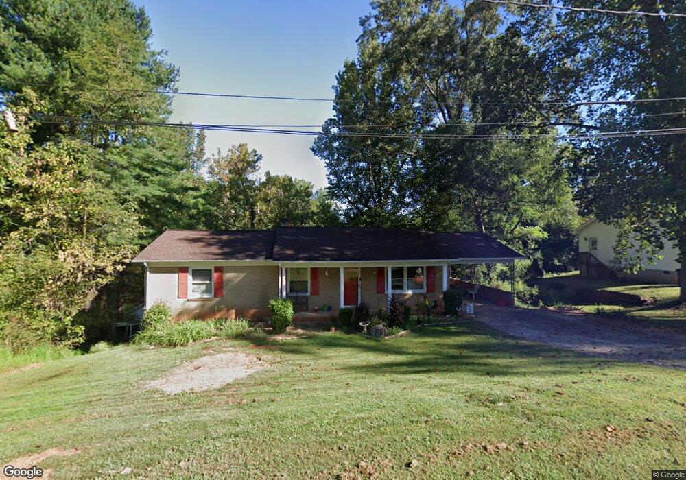
1211 E I St Newton, NC 28658
Estimated Value: $232,000 - $274,000
3
Beds
2
Baths
2,548
Sq Ft
$100/Sq Ft
Est. Value
About This Home
This home is located at 1211 E I St, Newton, NC 28658 and is currently estimated at $254,930, approximately $100 per square foot. 1211 E I St is a home located in Catawba County with nearby schools including Balls Creek Elementary School, Bandys High School, and Mill Creek Middle School.
Ownership History
Date
Name
Owned For
Owner Type
Purchase Details
Closed on
Oct 28, 2008
Sold by
Carolina Point Properties Inc
Bought by
Beauchamp Shane H and Beauchamp Sarah P
Current Estimated Value
Home Financials for this Owner
Home Financials are based on the most recent Mortgage that was taken out on this home.
Original Mortgage
$95,000
Outstanding Balance
$61,429
Interest Rate
5.78%
Mortgage Type
Unknown
Estimated Equity
$193,502
Purchase Details
Closed on
Apr 17, 2008
Sold by
Accredited Home Lenders Inc
Bought by
Carolina Point Properties Inc
Purchase Details
Closed on
Feb 19, 2008
Sold by
Mace Donna W
Bought by
Accredited Home Lenders Inc
Purchase Details
Closed on
Feb 1, 1992
Create a Home Valuation Report for This Property
The Home Valuation Report is an in-depth analysis detailing your home's value as well as a comparison with similar homes in the area
Home Values in the Area
Average Home Value in this Area
Purchase History
| Date | Buyer | Sale Price | Title Company |
|---|---|---|---|
| Beauchamp Shane H | $119,000 | None Available | |
| Carolina Point Properties Inc | $57,900 | None Available | |
| Accredited Home Lenders Inc | $78,613 | None Available | |
| -- | $74,000 | -- |
Source: Public Records
Mortgage History
| Date | Status | Borrower | Loan Amount |
|---|---|---|---|
| Open | Beauchamp Shane H | $95,000 |
Source: Public Records
Tax History
| Year | Tax Paid | Tax Assessment Tax Assessment Total Assessment is a certain percentage of the fair market value that is determined by local assessors to be the total taxable value of land and additions on the property. | Land | Improvement |
|---|---|---|---|---|
| 2025 | $1,756 | $207,000 | $12,500 | $194,500 |
| 2024 | $1,756 | $207,000 | $12,500 | $194,500 |
| 2023 | $1,756 | $207,000 | $12,500 | $194,500 |
| 2022 | $1,431 | $128,300 | $13,200 | $115,100 |
| 2021 | $1,431 | $128,300 | $13,200 | $115,100 |
| 2020 | $1,431 | $128,300 | $13,200 | $115,100 |
| 2019 | $1,431 | $128,300 | $0 | $0 |
| 2018 | $1,277 | $114,500 | $12,800 | $101,700 |
| 2017 | $1,277 | $0 | $0 | $0 |
| 2016 | $1,277 | $0 | $0 | $0 |
| 2015 | $1,182 | $114,540 | $12,800 | $101,740 |
| 2014 | $1,182 | $117,000 | $13,400 | $103,600 |
Source: Public Records
Map
Nearby Homes
- 1502 Mulberry Ridge Dr Unit 1
- 234 S Ervin Ave
- 612 E E St
- 406 S Caldwell Ave
- 1522 Cannan Mountain Dr
- 503 E Herman St
- 437 E D St
- 221 E Herman St
- 426B E N St
- 907 Goforth Rd
- 25 N Davis Ave
- 1002 S Brady Ave
- 743 S College Ave
- 425 E N St
- 201 N Davis Ave
- 0 Caleb Setzer Rd
- 1070 S College Ave
- 614 S Ashe Ave
- 216 N Brady Ave
- 1071 Caleb Setzer Rd
Your Personal Tour Guide
Ask me questions while you tour the home.