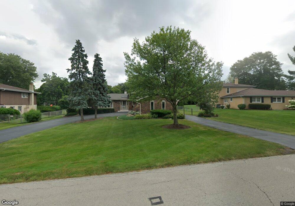
1211 Laurel Ln Schaumburg, IL 60193
South Schaumburg NeighborhoodEstimated Value: $442,000 - $523,000
3
Beds
2
Baths
1,440
Sq Ft
$329/Sq Ft
Est. Value
About This Home
This home is located at 1211 Laurel Ln, Schaumburg, IL 60193 and is currently estimated at $474,202, approximately $329 per square foot. 1211 Laurel Ln is a home located in Cook County with nearby schools including Frederick Nerge Elementary School, Margaret Mead Junior High School, and J B Conant High School.
Ownership History
Date
Name
Owned For
Owner Type
Purchase Details
Closed on
Dec 20, 2023
Sold by
Peterson Bruce B and Peterson Lynne D
Bought by
Peterson Living Trust and Peterson
Current Estimated Value
Create a Home Valuation Report for This Property
The Home Valuation Report is an in-depth analysis detailing your home's value as well as a comparison with similar homes in the area
Home Values in the Area
Average Home Value in this Area
Purchase History
| Date | Buyer | Sale Price | Title Company |
|---|---|---|---|
| Peterson Living Trust | -- | None Listed On Document |
Source: Public Records
Tax History Compared to Growth
Tax History
| Year | Tax Paid | Tax Assessment Tax Assessment Total Assessment is a certain percentage of the fair market value that is determined by local assessors to be the total taxable value of land and additions on the property. | Land | Improvement |
|---|---|---|---|---|
| 2024 | $7,909 | $34,202 | $8,543 | $25,659 |
| 2023 | $7,618 | $34,202 | $8,543 | $25,659 |
| 2022 | $7,618 | $34,202 | $8,543 | $25,659 |
| 2021 | $6,429 | $27,207 | $24,027 | $3,180 |
| 2020 | $6,441 | $27,207 | $24,027 | $3,180 |
| 2019 | $6,448 | $30,230 | $24,027 | $6,203 |
| 2018 | $8,510 | $34,540 | $20,290 | $14,250 |
| 2017 | $8,408 | $34,540 | $20,290 | $14,250 |
| 2016 | $8,358 | $34,540 | $20,290 | $14,250 |
| 2015 | $7,444 | $29,378 | $17,086 | $12,292 |
| 2014 | $7,390 | $29,378 | $17,086 | $12,292 |
| 2013 | $7,170 | $29,378 | $17,086 | $12,292 |
Source: Public Records
Map
Nearby Homes
- 1205 Laurel Ln
- 286 Nantucket Harbor Unit 601
- 1323 S Roselle Rd
- 1078 Newport Harbor Unit 6101
- 1420 Indian Hill Dr
- 13 W Monterey Ave
- 125 Manchester Ct Unit 32A
- 421 E Wise Rd
- 1100 Boston Harbor Unit 7004
- 134 Lunt Ave
- 211 Steeple Bush Ln Unit 10343
- 205 Steeple Bush Ln Unit 10444
- 1531 Marion St
- 620 S Point Dr
- 1630 Myrtle Park St
- 1630 Myrtle Park St
- 1630 Myrtle Park St
- 120 Pratt Blvd
- 1342 Lunt Ct Unit 56
- 717 Tipperary Ct Unit 1C
- 1217 Laurel Ln
- 1218 Greenview Ct
- 1208 Laurel Ln
- 130 E Niagara Ave
- 1214 Greenview Ct
- 122 E Niagara Ave
- 1216 Laurel Ln
- 1226 Greenview Ct
- 1134 Manchester Rd
- 121 Norman Ct
- 111 E Wise Rd
- 125 Norman Ct
- 1129 Tyler Dr
- 211 E Wise Rd
- 1126 Manchester Rd
- 1222 Laurel Ln
- 105 E Wise Rd
- 1215 Greenview Ct
- 1235 Laurel Ln
- 209 Nantucket Harbor Unit 102