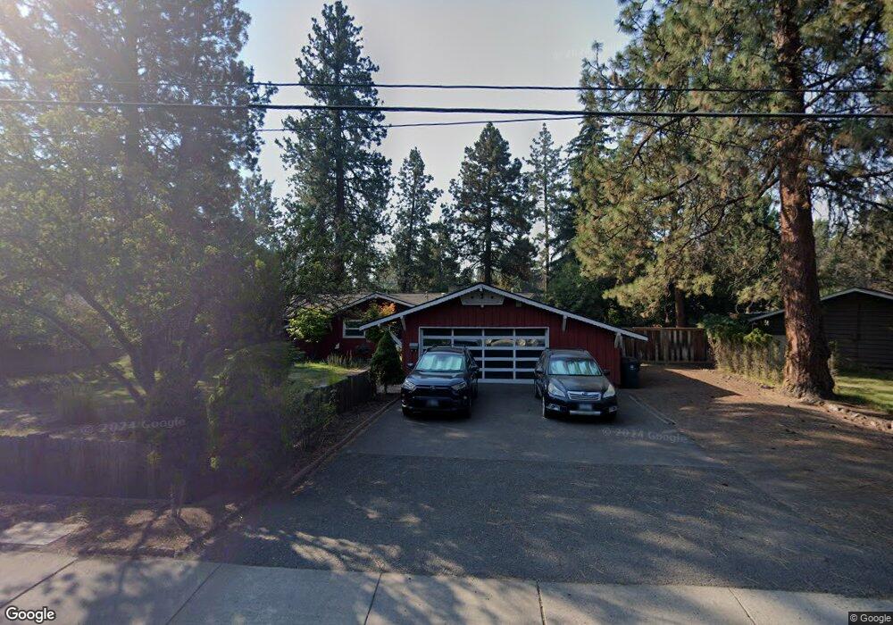
1211 NE Bear Creek Rd Bend, OR 97701
Larkspur NeighborhoodEstimated Value: $546,057 - $675,000
3
Beds
2
Baths
1,210
Sq Ft
$484/Sq Ft
Est. Value
About This Home
This home is located at 1211 NE Bear Creek Rd, Bend, OR 97701 and is currently estimated at $585,264, approximately $483 per square foot. 1211 NE Bear Creek Rd is a home located in Deschutes County with nearby schools including Bear Creek Elementary School, Pilot Butte Middle School, and Bend Senior High School.
Ownership History
Date
Name
Owned For
Owner Type
Purchase Details
Closed on
May 26, 2005
Sold by
Knoth Karl J
Bought by
Hasegawa Geoffrey R and Littlehales Tonya R
Current Estimated Value
Home Financials for this Owner
Home Financials are based on the most recent Mortgage that was taken out on this home.
Original Mortgage
$159,920
Outstanding Balance
$82,847
Interest Rate
5.84%
Mortgage Type
Fannie Mae Freddie Mac
Estimated Equity
$502,417
Create a Home Valuation Report for This Property
The Home Valuation Report is an in-depth analysis detailing your home's value as well as a comparison with similar homes in the area
Home Values in the Area
Average Home Value in this Area
Purchase History
| Date | Buyer | Sale Price | Title Company |
|---|---|---|---|
| Hasegawa Geoffrey R | $199,900 | Amerititle |
Source: Public Records
Mortgage History
| Date | Status | Borrower | Loan Amount |
|---|---|---|---|
| Open | Hasegawa Geoffrey R | $159,920 | |
| Closed | Hasegawa Geoffrey R | $29,985 |
Source: Public Records
Tax History
| Year | Tax Paid | Tax Assessment Tax Assessment Total Assessment is a certain percentage of the fair market value that is determined by local assessors to be the total taxable value of land and additions on the property. | Land | Improvement |
|---|---|---|---|---|
| 2025 | $2,681 | $158,680 | -- | -- |
| 2024 | $2,580 | $154,060 | -- | -- |
| 2023 | $2,391 | $149,580 | $0 | $0 |
| 2022 | $2,231 | $141,000 | $0 | $0 |
| 2021 | $2,235 | $136,900 | $0 | $0 |
| 2020 | $2,120 | $136,900 | $0 | $0 |
| 2019 | $2,061 | $132,920 | $0 | $0 |
| 2018 | $2,003 | $129,050 | $0 | $0 |
| 2017 | $1,944 | $125,300 | $0 | $0 |
| 2016 | $1,854 | $121,660 | $0 | $0 |
| 2015 | $1,803 | $118,120 | $0 | $0 |
| 2014 | $1,750 | $114,680 | $0 | $0 |
Source: Public Records
Map
Nearby Homes
- 438 NE 9th St
- 1540 NE Bear Creek Rd
- 775 NE Franklin Ave
- 132 SE 16th St
- 268 SE 15th St Unit 268/270
- 924 NE 9th St
- 530 SE Centennial St Unit 524,526,528,530
- 161 SE Rice Way
- 98 NE Telima Ln
- 734 SE Manley Place
- 1119 NE 9th St
- 1154 NE 9th St
- 649 NE Kearney Ave
- 429 NE Irving Ave
- 508 SE 4th St
- 623 SE Roosevelt Ave
- 29850 NE Highway 20
- 1001 SE 15th St Unit 39
- 1001 SE 15th St Unit 31
- 1001 SE 15th St Unit 126
- 1231 NE Bear Creek Rd
- 1222 NE Burnside Ave
- 1206 NE Burnside Ave
- 1235 NE Alden Ave
- 1265 NE Bear Creek Rd
- 1126 NE Burnside Ave
- 1238 NE Burnside Ave
- 1211 NE Alden Ave
- 1262 NE Burnside Ave Unit 2
- 1262 NE Burnside Ave
- 1223 NE Burnside Ave
- 1237 NE Burnside Ave
- 1209 NE Burnside Ave
- 1273 NE Bear Creek Rd
- 1055 NE Bear Creek Rd
- 1149 NE Burnside Ave
- 1255 NE Burnside Ave
- 1280 NE Burnside Ave
- 1037 NE Bear Creek Rd
- 1111 NE Burnside Ave
Your Personal Tour Guide
Ask me questions while you tour the home.