1211 Oliver Dr Monteagle, TN 37356
Estimated Value: $146,104 - $271,000
--
Bed
1
Bath
1,152
Sq Ft
$194/Sq Ft
Est. Value
About This Home
This home is located at 1211 Oliver Dr, Monteagle, TN 37356 and is currently estimated at $223,026, approximately $193 per square foot. 1211 Oliver Dr is a home located in Marion County with nearby schools including Monteagle Elementary School, South Pittsburg Elementary School, and Jasper Elementary School.
Ownership History
Date
Name
Owned For
Owner Type
Purchase Details
Closed on
May 26, 2006
Sold by
American Shotcrete Company
Bought by
Tripp James B
Current Estimated Value
Home Financials for this Owner
Home Financials are based on the most recent Mortgage that was taken out on this home.
Original Mortgage
$111,550
Outstanding Balance
$65,325
Interest Rate
6.5%
Estimated Equity
$157,701
Purchase Details
Closed on
Aug 27, 1997
Sold by
Michael Gilfeather
Bought by
Oliver J D
Purchase Details
Closed on
Mar 25, 1997
Bought by
Ford Consumer Finance Co Inc
Purchase Details
Closed on
Aug 3, 1990
Bought by
Landers Hank
Create a Home Valuation Report for This Property
The Home Valuation Report is an in-depth analysis detailing your home's value as well as a comparison with similar homes in the area
Home Values in the Area
Average Home Value in this Area
Purchase History
| Date | Buyer | Sale Price | Title Company |
|---|---|---|---|
| Tripp James B | $115,000 | -- | |
| Oliver J D | $36,000 | -- | |
| Ford Consumer Finance Co Inc | $32,000 | -- | |
| Landers Hank | -- | -- |
Source: Public Records
Mortgage History
| Date | Status | Borrower | Loan Amount |
|---|---|---|---|
| Open | Landers Hank | $111,550 |
Source: Public Records
Tax History Compared to Growth
Tax History
| Year | Tax Paid | Tax Assessment Tax Assessment Total Assessment is a certain percentage of the fair market value that is determined by local assessors to be the total taxable value of land and additions on the property. | Land | Improvement |
|---|---|---|---|---|
| 2024 | $455 | $25,825 | $4,450 | $21,375 |
| 2023 | $455 | $25,825 | $0 | $0 |
| 2022 | $455 | $25,825 | $4,450 | $21,375 |
| 2021 | $455 | $25,825 | $4,450 | $21,375 |
| 2020 | $479 | $25,825 | $4,450 | $21,375 |
| 2019 | $479 | $22,100 | $3,450 | $18,650 |
| 2018 | $479 | $22,100 | $3,450 | $18,650 |
| 2017 | $479 | $22,100 | $3,450 | $18,650 |
| 2016 | $479 | $22,100 | $0 | $0 |
| 2015 | $563 | $22,100 | $0 | $0 |
| 2014 | $563 | $25,952 | $0 | $0 |
Source: Public Records
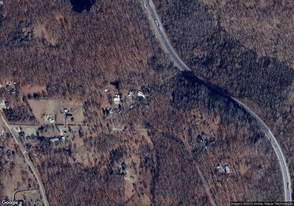
Map
Nearby Homes
- 3.21 AC Eagle Rock Rd
- 0 Tootley Campbell Rd
- 1 Eagle Rock Rd
- 355 Wells St
- 205 Blackberry Farm Rd
- 201 Blackberry Farm Rd
- 206 Blackberry Farm Rd
- 214 Blackberry Farm Rd
- 221 Blackberry Farm Rd
- 227 Blackberry Farm Rd
- 211 Blackberry Farm Rd
- 1712 Ridge Cliff Dr
- 1680 Ridge Cliff Dr
- 1728 Ridge Cliff Dr
- 520 Lautzenheiser Place
- 510 Lautzenheiser Place
- 385 N Scenic Rd
- 31 Chickory Ln
- 0 Shadow Rock Dr Unit RTC2979716
- 0 Shadow Rock Dr Unit RTC2979678
- 1209 Oliver Dr
- 0 Oliver Dr
- 1207 Oliver Dr
- 1223 Oliver Dr
- 1206 Oliver Dr
- 1135 Oliver Dr
- 0 I-24e & Trussell Rd Unit 2014968
- 1121 Oliver Dr
- 1233 Oliver Dr
- 1150 Trussell Rd
- 1108 Oliver Dr
- 1136 Trussell Rd
- 1116 Trussell Rd
- 1120 Bluebird Ln
- 1102 Bluebird Ln
- 1137 Trussell Rd
- 1127 Trussell Rd
- 714 Trussell Rd
- 1117 Trussell Rd
- 1175 Trussell Rd