1211 Richards Branch Rd Morganton, GA 30560
Estimated Value: $250,000 - $367,000
Studio
2
Baths
1,246
Sq Ft
$232/Sq Ft
Est. Value
About This Home
This home is located at 1211 Richards Branch Rd, Morganton, GA 30560 and is currently estimated at $288,558, approximately $231 per square foot. 1211 Richards Branch Rd is a home located in Fannin County with nearby schools including Fannin County High School and Mountain Area Christian Academy.
Ownership History
Date
Name
Owned For
Owner Type
Purchase Details
Closed on
Dec 22, 2016
Bought by
Williams Paula G
Current Estimated Value
Home Financials for this Owner
Home Financials are based on the most recent Mortgage that was taken out on this home.
Original Mortgage
$20,000
Interest Rate
4.03%
Mortgage Type
New Conventional
Purchase Details
Closed on
Jan 29, 1999
Sold by
Durham Don J
Bought by
Townes Mckellar and Townes An
Create a Home Valuation Report for This Property
The Home Valuation Report is an in-depth analysis detailing your home's value as well as a comparison with similar homes in the area
Home Values in the Area
Average Home Value in this Area
Purchase History
| Date | Buyer | Sale Price | Title Company |
|---|---|---|---|
| Williams Paula G | $85,000 | -- | |
| Williams Paula G | -- | -- | |
| Townes Mckellar | $102,500 | -- |
Source: Public Records
Mortgage History
| Date | Status | Borrower | Loan Amount |
|---|---|---|---|
| Closed | Williams Paula G | $20,000 |
Source: Public Records
Tax History
| Year | Tax Paid | Tax Assessment Tax Assessment Total Assessment is a certain percentage of the fair market value that is determined by local assessors to be the total taxable value of land and additions on the property. | Land | Improvement |
|---|---|---|---|---|
| 2025 | $620 | $80,190 | $9,790 | $70,400 |
| 2024 | $6 | $80,190 | $9,790 | $70,400 |
| 2023 | $576 | $64,705 | $9,790 | $54,915 |
| 2022 | $591 | $66,702 | $9,790 | $56,912 |
| 2021 | $598 | $42,623 | $9,790 | $32,833 |
| 2020 | $608 | $42,623 | $9,790 | $32,833 |
| 2019 | $632 | $43,513 | $10,680 | $32,833 |
| 2018 | $670 | $43,513 | $10,680 | $32,833 |
| 2017 | $770 | $43,513 | $10,680 | $32,833 |
| 2016 | $653 | $38,434 | $10,680 | $27,754 |
| 2015 | $655 | $38,904 | $10,680 | $28,224 |
| 2014 | $680 | $40,692 | $10,680 | $30,012 |
| 2013 | -- | $31,519 | $10,680 | $20,839 |
Source: Public Records
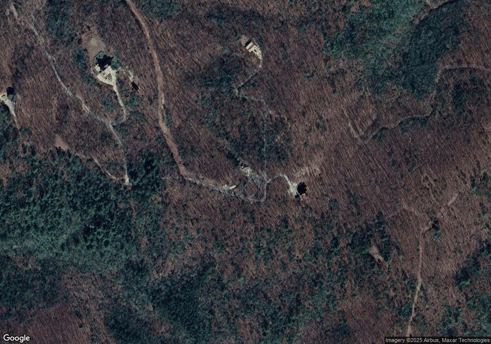
Map
Nearby Homes
- 0 Deer Run Unit 10695944
- 224 Eagle Ridge
- 16 Enchanting Cir
- 116 Channing Ridge Rd
- 116 Channing Ridge Rd Unit 10
- 45 Channing Ridge Rd
- 54 Channing Hollow
- 76 Channing Hollow
- 14747 Appalachian Hwy
- 0 N Burgess Gap Rd Unit 24911808
- 0 N Burgess Gap Rd Unit 10610901
- 2055 Star Creek Rd
- 34 Amber Way Unit 1
- 34 Amber Way
- LOT 2 Ridge Dr
- LT 84 Ridge Dr
- Lot 222 Ridge Dr
- Lot 42 Ridge Dr
- Lot 4 Ridge Dr
- Lot 84 Ridge Dr
- 1413 13 Richard's Branch
- 350 Dunedin Rd
- 1455 Richards Branch Rd
- 937 Richards Branch Rd
- 937 Richards Branch Rd
- 0 Richard's Branch 13+
- 771 Burgess Gap Rd
- 775 Burgess Gap Rd
- 105 Rocky Rd
- 227 Rocky Rd
- 82 Water Garden Trail
- 101 Rocky Rd
- 226 Rocky Rd
- 226 Rocky Rd
- 7 Water Garden Trail
- 435 Sundance Dr
- 435 Sundance Dr
- 121 Wild Turkey Trail Unit 74/87
- 121 Wild Turkey Trail
- 178 Rocky Rd
Your Personal Tour Guide
Ask me questions while you tour the home.