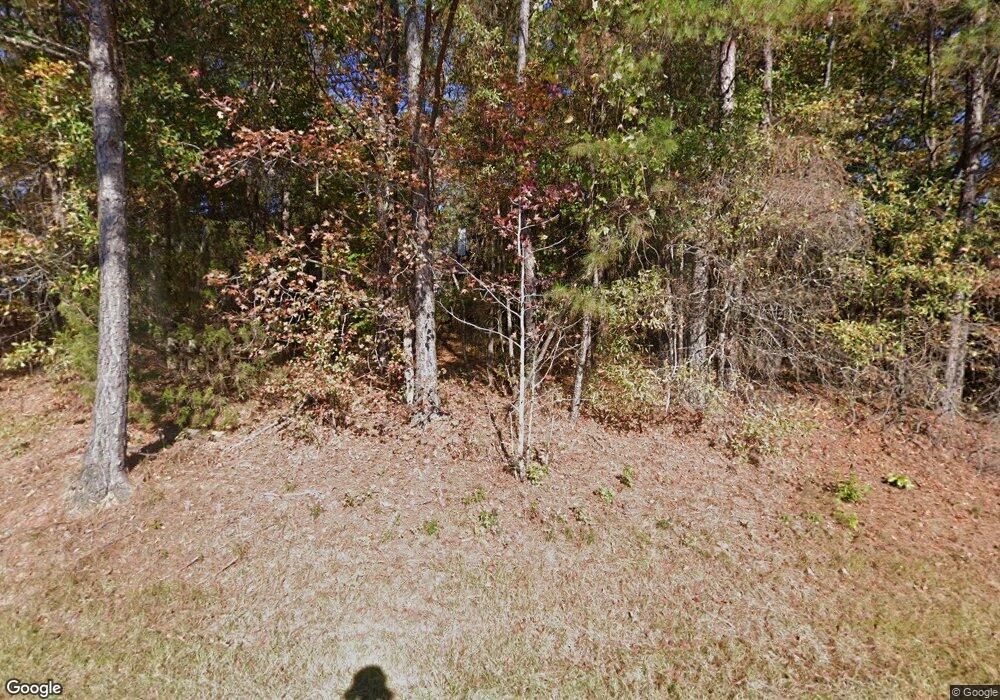
1211 Roxey Maxey Rd Winder, GA 30680
Estimated Value: $300,000 - $387,000
2
Beds
2
Baths
1,435
Sq Ft
$228/Sq Ft
Est. Value
About This Home
This home is located at 1211 Roxey Maxey Rd, Winder, GA 30680 and is currently estimated at $327,647, approximately $228 per square foot. 1211 Roxey Maxey Rd is a home located in Barrow County with nearby schools including Yargo Elementary School, Haymon-Morris Middle School, and Apalachee High School.
Ownership History
Date
Name
Owned For
Owner Type
Purchase Details
Closed on
Jul 19, 1993
Sold by
Byers Robert A and Anderson Byers Lori J
Bought by
Pennington Thomas A and Hill Carla M
Current Estimated Value
Home Financials for this Owner
Home Financials are based on the most recent Mortgage that was taken out on this home.
Original Mortgage
$84,500
Interest Rate
7.5%
Mortgage Type
VA
Create a Home Valuation Report for This Property
The Home Valuation Report is an in-depth analysis detailing your home's value as well as a comparison with similar homes in the area
Home Values in the Area
Average Home Value in this Area
Purchase History
| Date | Buyer | Sale Price | Title Company |
|---|---|---|---|
| Pennington Thomas A | $83,500 | -- |
Source: Public Records
Mortgage History
| Date | Status | Borrower | Loan Amount |
|---|---|---|---|
| Closed | Pennington Thomas A | $84,500 |
Source: Public Records
Tax History Compared to Growth
Tax History
| Year | Tax Paid | Tax Assessment Tax Assessment Total Assessment is a certain percentage of the fair market value that is determined by local assessors to be the total taxable value of land and additions on the property. | Land | Improvement |
|---|---|---|---|---|
| 2024 | $1,780 | $74,664 | $20,000 | $54,664 |
| 2023 | $1,360 | $74,664 | $20,000 | $54,664 |
| 2022 | $1,255 | $46,385 | $12,008 | $34,377 |
| 2021 | $1,316 | $46,385 | $12,008 | $34,377 |
| 2020 | $1,316 | $46,385 | $12,008 | $34,377 |
| 2019 | $1,159 | $40,488 | $12,008 | $28,480 |
| 2018 | $1,138 | $40,488 | $12,008 | $28,480 |
| 2017 | $1,053 | $36,151 | $12,008 | $24,143 |
| 2016 | $987 | $36,456 | $12,008 | $24,448 |
| 2015 | $1,000 | $36,760 | $12,008 | $24,752 |
| 2014 | $823 | $30,940 | $5,884 | $25,056 |
| 2013 | -- | $29,780 | $5,884 | $23,896 |
Source: Public Records
Map
Nearby Homes
- 1214 Roxey Maxey Rd
- 921 Roxeywood Dr
- 740 Patrick Mill Rd SW
- 1185 Wendy Way
- 1898 Roxey Ln
- The Crawford Plan at Roxeywood Park
- The Bradley Plan at Roxeywood Park
- The Ellijay Plan at Roxeywood Park
- The Caldwell Plan at Roxeywood Park
- 57 Roxeywood Way
- The McGinnis Plan at Roxeywood Park
- The Coleman Plan at Roxeywood Park
- The Harrington Plan at Roxeywood Park
- 480 Roxeywood Way
- Brandon Plan at Willowbrook
- ANSLEY Express Plan at Willowbrook
- HAYDEN Express Plan at Willowbrook
- ARIA Express Plan at Willowbrook
- Rachel Plan at Willowbrook
- 89 Holland Cove
- 1223 Roxey Maxey Rd
- 696 Patrick Mill Rd SW
- 1210 Roxey Maxey Rd
- 650 Patrick Mill Rd SW
- 1196 Roxey Maxey Rd
- 655 Patrick Mill Rd SW
- 642 Patrick Mill Rd SW
- 684 Patrick Mill Rd SW
- 719 Winding River Ln
- 687 Patrick Mill Rd SW Unit 36437956
- 687 Patrick Mill Rd SW
- 1185 Roxey Maxey Rd
- 725 Winding River Ln
- 741 Winding River Ln
- 706 Patrick Mill Rd SW
- 714 Winding River Ln
- 1160 Roxey Maxey Rd
- 697 Patrick Mill Rd SW
- 697 Patrick Mill Rd SW Unit 38319809
- 728 Winding River Ln
