Studio
--
Bath
8,038
Sq Ft
97,574
Sq Ft Lot
About This Home
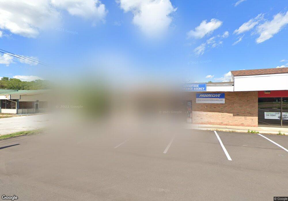
This home is located at 1211 W Main St Unit 1, Kent, OH 44240. 1211 W Main St Unit 1 is a home located in Portage County with nearby schools including Longcoy Elementary School, Stanton Middle School, and Theodore Roosevelt High School.
Ownership History
Date
Name
Owned For
Owner Type
Purchase Details
Closed on
Jan 3, 2020
Sold by
Dono Development Limited Partnership
Bought by
Gahmi Real Estate Llc
Home Financials for this Owner
Home Financials are based on the most recent Mortgage that was taken out on this home.
Original Mortgage
$326,000
Outstanding Balance
$284,298
Interest Rate
3.6%
Mortgage Type
Land Contract Argmt. Of Sale
Purchase Details
Closed on
Dec 27, 1993
Bought by
Dono Development Limited Partnership
Create a Home Valuation Report for This Property
The Home Valuation Report is an in-depth analysis detailing your home's value as well as a comparison with similar homes in the area
Home Values in the Area
Average Home Value in this Area
Purchase History
| Date | Buyer | Sale Price | Title Company |
|---|---|---|---|
| Gahmi Real Estate Llc | $376,000 | Milestone Settlement Llc | |
| Dono Development Limited Partnership | -- | -- |
Source: Public Records
Mortgage History
| Date | Status | Borrower | Loan Amount |
|---|---|---|---|
| Open | Gahmi Real Estate Llc | $326,000 |
Source: Public Records
Tax History
| Year | Tax Paid | Tax Assessment Tax Assessment Total Assessment is a certain percentage of the fair market value that is determined by local assessors to be the total taxable value of land and additions on the property. | Land | Improvement |
|---|---|---|---|---|
| 2025 | $12,308 | $193,380 | $64,750 | $128,630 |
| 2024 | $11,437 | $193,380 | $64,750 | $128,630 |
| 2023 | $11,137 | $161,670 | $64,750 | $96,920 |
| 2022 | $11,180 | $161,670 | $64,750 | $96,920 |
| 2021 | $11,362 | $161,670 | $64,750 | $96,920 |
| 2020 | $11,533 | $161,670 | $64,750 | $96,920 |
| 2019 | $11,578 | $161,670 | $64,750 | $96,920 |
| 2018 | $11,412 | $155,410 | $53,520 | $101,890 |
| 2017 | $11,412 | $155,410 | $53,520 | $101,890 |
| 2016 | $11,625 | $155,410 | $53,520 | $101,890 |
| 2015 | $11,903 | $155,410 | $53,520 | $101,890 |
| 2014 | $12,956 | $155,410 | $53,520 | $101,890 |
| 2013 | $12,825 | $155,410 | $53,520 | $101,890 |
Source: Public Records
Map
Nearby Homes
- 350 Silver Meadows Blvd
- 511 Suzanne Dr
- 1245 Chelton Dr
- 1189 Garth Dr
- 1302 Carol Dr
- 884 Highridge Ln
- 876 Middlebury Rd
- 895 Highridge Ln
- 3313 Crown Pointe Dr
- 726 Hughey Dr
- 957 Edgewater Cir Unit 20
- 994 Erin Dr
- 0 Middlebury Rd
- 1067 Erin Dr
- 1302 Walnut St
- 3753 Lake Run Blvd
- 209 Dodge St
- 1204 Franklin Ave
- 3767 Lake Run Blvd
- 2721 Santa Anita Dr
- 1211 W Main St
- 1209 W Main St
- 1205 W Main St
- 1205 W Main St Unit 1205
- 1225 W Main St
- 1195 W Main St
- 402 S Francis St
- 386 N Francis St
- 382 N Francis St
- 1181 W Main St
- 1180 W Main St
- 378 N Francis St
- 1200 Hampton Rd
- 373 N Francis St
- 413 S Francis St
- 415 S Francis St
- 369 N Francis St
- 370 N Francis St
- 1181 Hampton Rd
- 1169 W Main St
Your Personal Tour Guide
Ask me questions while you tour the home.