Estimated Value: $357,000 - $439,275
Studio
--
Bath
1,500
Sq Ft
$265/Sq Ft
Est. Value
About This Home
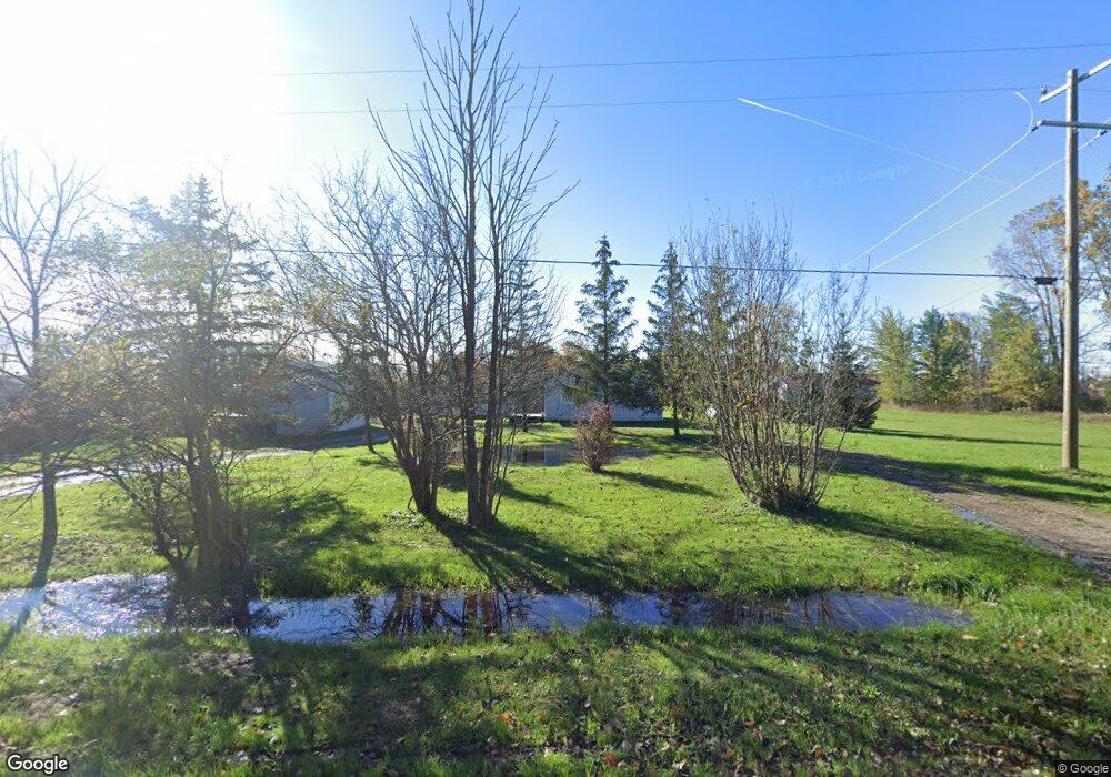
This home is located at 12111 Griffin Rd, Riley, MI 48041 and is currently estimated at $398,069, approximately $265 per square foot. 12111 Griffin Rd is a home located in St. Clair County with nearby schools including Capac Elementary School and Capac Jr./Sr. High School.
Ownership History
Date
Name
Owned For
Owner Type
Purchase Details
Closed on
Aug 10, 2022
Sold by
Malaeni Pato
Bought by
Pato Malaeni and Abro Randy K
Current Estimated Value
Purchase Details
Closed on
Jul 29, 2020
Sold by
Sabrina Hanania
Bought by
Yousif Ammar
Purchase Details
Closed on
Oct 9, 2018
Sold by
Deutsche Bank National Trust Co
Bought by
Hanania Sabrina
Purchase Details
Closed on
Sep 7, 2017
Sold by
St Clair County Sheriff
Bought by
Deutsche Bank National Trust Co
Create a Home Valuation Report for This Property
The Home Valuation Report is an in-depth analysis detailing your home's value as well as a comparison with similar homes in the area
Home Values in the Area
Average Home Value in this Area
Purchase History
| Date | Buyer | Sale Price | Title Company |
|---|---|---|---|
| Pato Malaeni | -- | None Listed On Document | |
| Pato Malaeni | $400,000 | None Listed On Document | |
| Yousif Ammar | $70,000 | None Listed On Document | |
| Hanania Sabrina | $58,500 | None Available | |
| Deutsche Bank National Trust Co | $158,578 | -- |
Source: Public Records
Tax History
| Year | Tax Paid | Tax Assessment Tax Assessment Total Assessment is a certain percentage of the fair market value that is determined by local assessors to be the total taxable value of land and additions on the property. | Land | Improvement |
|---|---|---|---|---|
| 2025 | $2,245 | $219,800 | $0 | $0 |
| 2024 | $2,236 | $208,800 | $0 | $0 |
| 2023 | $2,129 | $185,100 | $0 | $0 |
| 2022 | $5,688 | $127,900 | $0 | $0 |
| 2020 | $2,355 | $85,200 | $12,400 | $72,800 |
| 2019 | $170 | $66,700 | $0 | $0 |
| 2018 | $709 | $61,600 | $0 | $0 |
| 2017 | $1,299 | $57,900 | $0 | $0 |
| 2016 | $505 | $57,900 | $0 | $0 |
| 2015 | -- | $48,100 | $48,100 | $0 |
| 2014 | -- | $45,600 | $45,600 | $0 |
| 2013 | -- | $43,600 | $0 | $0 |
Source: Public Records
Map
Nearby Homes
- 12274 Griffin Rd
- 00 Cowhy Rd Parcel "B"
- 00 Cowhy Rd Parcel "A"
- 0 Masters Rd
- 11377 Hill Rd
- 0 Burgess 040 Rd
- 1442 Riley Center Rd
- 0 Riley Center Rd Unit 50199270
- 1700 Kinney Rd
- 00 Belle River Lot R
- 13325 Belle River Rd
- 0 Kinney Rd Unit 20240094456
- 13327 Dunn Rd
- 00 Belle River Lot Q Rd
- 10877 Mechanic St
- 10729 Brandon Rd
- 3301 Emmett Rd Emmett Rd
- 10676 Brandon Rd
- 10696 Dunnigan Rd
- 00 Miller Rd
- 12111 Griffin Rd
- 12081 Griffin Rd
- 12171 Griffin Rd
- 12057 Griffin Rd
- 12057 Griffin Rd
- 12162 Griffin Rd
- 12072 Griffin Rd
- 12214 Hill Rd
- 2167 Braidwood Rd
- 12225 Griffin Rd
- 2183 Braidwood Rd
- 2109 Braidwood Rd
- 12015 Griffin Rd
- 12222 Hill Rd
- 12220 Griffin Rd
- 12246 Griffin Rd
- 2170 Braidwood Rd
- 2150 Braidwood Rd
- 2085 Braidwood Rd Unit Bldg-Unit
- 2085 Braidwood Rd
Your Personal Tour Guide
Ask me questions while you tour the home.