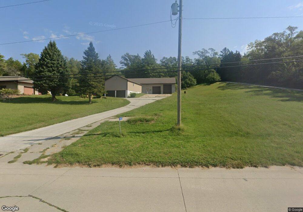
12111 Woodland Trail Council Bluffs, IA 51503
Estimated Value: $562,000 - $599,000
3
Beds
3
Baths
3,414
Sq Ft
$170/Sq Ft
Est. Value
About This Home
This home is located at 12111 Woodland Trail, Council Bluffs, IA 51503 and is currently estimated at $580,141, approximately $169 per square foot. 12111 Woodland Trail is a home located in Pottawattamie County with nearby schools including E.A. Kreft Primary School, Titan Hill Intermediate School, and Lewis Central Middle School.
Ownership History
Date
Name
Owned For
Owner Type
Purchase Details
Closed on
Aug 5, 2008
Sold by
Cain Russell E and Cain Diane R
Bought by
Pleas Gary L and Pleas Judith R
Current Estimated Value
Home Financials for this Owner
Home Financials are based on the most recent Mortgage that was taken out on this home.
Original Mortgage
$180,000
Outstanding Balance
$118,486
Interest Rate
6.39%
Mortgage Type
Unknown
Estimated Equity
$461,655
Create a Home Valuation Report for This Property
The Home Valuation Report is an in-depth analysis detailing your home's value as well as a comparison with similar homes in the area
Home Values in the Area
Average Home Value in this Area
Purchase History
| Date | Buyer | Sale Price | Title Company |
|---|---|---|---|
| Pleas Gary L | $290,000 | None Available |
Source: Public Records
Mortgage History
| Date | Status | Borrower | Loan Amount |
|---|---|---|---|
| Open | Pleas Gary L | $180,000 |
Source: Public Records
Tax History Compared to Growth
Tax History
| Year | Tax Paid | Tax Assessment Tax Assessment Total Assessment is a certain percentage of the fair market value that is determined by local assessors to be the total taxable value of land and additions on the property. | Land | Improvement |
|---|---|---|---|---|
| 2025 | $5,266 | $536,900 | $92,300 | $444,600 |
| 2024 | $5,266 | $488,700 | $80,200 | $408,500 |
| 2023 | $5,106 | $488,700 | $80,200 | $408,500 |
| 2022 | $4,244 | $333,900 | $59,700 | $274,200 |
| 2021 | $6,518 | $333,900 | $59,700 | $274,200 |
| 2020 | $4,130 | $333,900 | $59,700 | $274,200 |
| 2019 | $4,306 | $290,000 | $56,687 | $233,313 |
| 2018 | $4,212 | $290,000 | $56,687 | $233,313 |
| 2017 | $4,326 | $290,000 | $56,687 | $233,313 |
| 2015 | $4,286 | $290,000 | $56,687 | $233,313 |
| 2014 | $4,320 | $290,000 | $56,687 | $233,313 |
Source: Public Records
Map
Nearby Homes
- 21253 Ashwood Ln
- 15.74 AC Dumfries Ave
- 11059 Dumfries Ave
- 11749 Dumfries Ave
- 21823 Chestnut Rd
- LOT 1 -2 Overland Trail
- 11704 240th St
- 11723 192nd St
- 35.94 Ac M L 192nd St
- 55.25 AC M L 192nd St
- 22231 Stoneybrook Dr
- 100 Highland Acres Loop
- 18000 Bunge Ave
- 17850 Bunge Ave
- 21085 Abbey Rd
- 14127 Wabash Ave
- 109 Dorset Ave
- 21337 Greenview Rd
- 108 Essex Ave
- 22080 Greenview Rd
- 12087 Woodland Trail
- 175 Parkwood Dr
- 165 Parkwood Dr
- 185 Parkwood Dr
- 155 Parkwood Dr
- 145 Parkwood Dr
- 11169 Woodland Trail
- 12009 Woodland Trail
- 195 Parkwood Dr
- 12197 Woodland Trail
- 135 Parkwood Dr
- 125 Parkwood Dr
- 12203 Woodland Trail
- 205 Parkwood Dr
- 105 Parkwood Dr
- 215 Parkwood Dr
- 21933 Brush Ln
- 225 Parkwood Dr
- 235 Parkwood Dr
- 250 Parkwood Dr