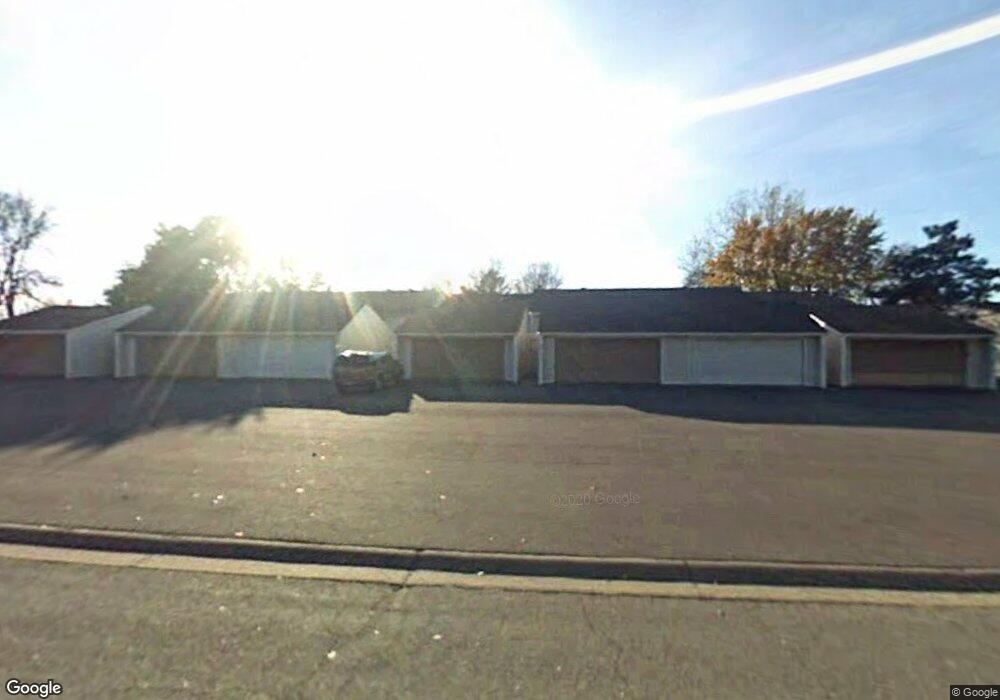
12112 Drake St NW Coon Rapids, MN 55448
Estimated Value: $227,000 - $259,000
3
Beds
2
Baths
720
Sq Ft
$336/Sq Ft
Est. Value
About This Home
This home is located at 12112 Drake St NW, Coon Rapids, MN 55448 and is currently estimated at $241,785, approximately $335 per square foot. 12112 Drake St NW is a home located in Anoka County with nearby schools including Lucile Bruner Elementary School, Sand Creek Elementary School, and Laughlin Junior/Senior High School.
Ownership History
Date
Name
Owned For
Owner Type
Purchase Details
Closed on
Feb 16, 2024
Sold by
Saho Naffie and Dibba Modou
Bought by
Donzo Masafee
Current Estimated Value
Home Financials for this Owner
Home Financials are based on the most recent Mortgage that was taken out on this home.
Original Mortgage
$235,000
Outstanding Balance
$230,855
Interest Rate
6.62%
Mortgage Type
New Conventional
Estimated Equity
$10,930
Purchase Details
Closed on
Sep 9, 2016
Sold by
Mccarty Teresa A
Bought by
Saho Naffie
Home Financials for this Owner
Home Financials are based on the most recent Mortgage that was taken out on this home.
Original Mortgage
$6,000
Interest Rate
3.45%
Mortgage Type
Unknown
Purchase Details
Closed on
Apr 29, 2004
Sold by
Boben Pamela J
Bought by
Mccarty Teresa A
Create a Home Valuation Report for This Property
The Home Valuation Report is an in-depth analysis detailing your home's value as well as a comparison with similar homes in the area
Home Values in the Area
Average Home Value in this Area
Purchase History
| Date | Buyer | Sale Price | Title Company |
|---|---|---|---|
| Donzo Masafee | $235,000 | -- | |
| Saho Naffie | $142,000 | Burnet Title | |
| Mccarty Teresa A | $141,000 | -- |
Source: Public Records
Mortgage History
| Date | Status | Borrower | Loan Amount |
|---|---|---|---|
| Open | Donzo Masafee | $235,000 | |
| Previous Owner | Saho Naffie | $6,000 | |
| Previous Owner | Saho Naffie | $139,428 |
Source: Public Records
Tax History Compared to Growth
Tax History
| Year | Tax Paid | Tax Assessment Tax Assessment Total Assessment is a certain percentage of the fair market value that is determined by local assessors to be the total taxable value of land and additions on the property. | Land | Improvement |
|---|---|---|---|---|
| 2025 | $2,019 | $208,500 | $40,000 | $168,500 |
| 2024 | $2,019 | $207,700 | $40,000 | $167,700 |
| 2023 | $1,863 | $203,600 | $40,000 | $163,600 |
| 2022 | $1,679 | $201,400 | $35,000 | $166,400 |
| 2021 | $1,730 | $165,600 | $38,000 | $127,600 |
| 2020 | $1,581 | $166,300 | $25,000 | $141,300 |
| 2019 | $1,440 | $148,700 | $25,000 | $123,700 |
| 2018 | $1,354 | $134,100 | $0 | $0 |
| 2017 | $1,037 | $124,400 | $0 | $0 |
| 2016 | $1,415 | $96,900 | $0 | $0 |
| 2015 | $1,197 | $96,900 | $16,200 | $80,700 |
| 2014 | -- | $78,900 | $6,000 | $72,900 |
Source: Public Records
Map
Nearby Homes
- 12010 Eagle St NW
- 1449 119th Ln NW
- 11852 Yellow Pine St NW
- 1727 121st Ln NW
- 12463 Drake St NW
- 11923 Wintergreen St NW
- 1625 124th Ave NW
- 12365 Jay St NW
- 1660 Northdale Blvd NW
- 1450 126th Ln NW
- 12488 Unity St NW
- 1593 126th Ln NW
- 12554 Grouse St NW
- 899 123rd Ln NW
- 12796 Bluebird St NW
- 2068 124th Ln NW
- 1234 128th Cir NW
- 11350 Jay St NW
- 633 Sand Creek Dr NW
- 12357 Magnolia St NW
- 12110 Drake St NW
- 12114 Drake St NW
- 12108 Drake St NW
- 12116 Drake St NW
- 12118 Drake St NW
- 12106 Drake St NW
- 12128 Drake St NW
- 12130 Drake St NW
- 1517 121st Ave NW
- 1513 121st Ave NW
- 1521 121st Ave NW
- 1505 121st Ave NW
- 12132 Drake St NW
- 1501 121st Ave NW
- 1509 121st Ave NW
- 12134 Drake St NW
- 12136 Drake St NW
- 1525 121st Ave NW
- 12115 Drake St NW
- 12113 Drake St NW