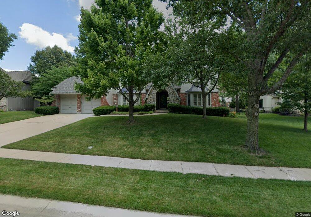
12113 Wenonga Ln Leawood, KS 66209
Estimated Value: $625,000 - $809,000
4
Beds
4
Baths
3,636
Sq Ft
$196/Sq Ft
Est. Value
About This Home
This home is located at 12113 Wenonga Ln, Leawood, KS 66209 and is currently estimated at $712,324, approximately $195 per square foot. 12113 Wenonga Ln is a home located in Johnson County with nearby schools including Leawood Elementary School, Leawood Middle School, and Blue Valley North High School.
Ownership History
Date
Name
Owned For
Owner Type
Purchase Details
Closed on
Jul 30, 2015
Sold by
Coughenour James R and Coughenour Diane L
Bought by
Coughenour James R and Coughenour Diane L
Current Estimated Value
Purchase Details
Closed on
Aug 8, 2003
Sold by
Coughenour James R and Coughenour Diane L
Bought by
Coughenour James R and Coughenour Diane L
Home Financials for this Owner
Home Financials are based on the most recent Mortgage that was taken out on this home.
Original Mortgage
$85,500
Interest Rate
5.51%
Mortgage Type
Purchase Money Mortgage
Create a Home Valuation Report for This Property
The Home Valuation Report is an in-depth analysis detailing your home's value as well as a comparison with similar homes in the area
Home Values in the Area
Average Home Value in this Area
Purchase History
| Date | Buyer | Sale Price | Title Company |
|---|---|---|---|
| Coughenour James R | -- | None Available | |
| Coughenour James R | -- | Midwest Title Company |
Source: Public Records
Mortgage History
| Date | Status | Borrower | Loan Amount |
|---|---|---|---|
| Closed | Coughenour James R | $85,500 |
Source: Public Records
Tax History Compared to Growth
Tax History
| Year | Tax Paid | Tax Assessment Tax Assessment Total Assessment is a certain percentage of the fair market value that is determined by local assessors to be the total taxable value of land and additions on the property. | Land | Improvement |
|---|---|---|---|---|
| 2024 | $8,474 | $76,039 | $18,044 | $57,995 |
| 2023 | $7,820 | $69,323 | $18,044 | $51,279 |
| 2022 | $7,374 | $63,998 | $18,044 | $45,954 |
| 2021 | $6,603 | $54,752 | $16,396 | $38,356 |
| 2020 | $6,580 | $53,464 | $14,911 | $38,553 |
| 2019 | $6,216 | $49,623 | $14,911 | $34,712 |
| 2018 | $5,564 | $43,654 | $13,556 | $30,098 |
| 2017 | $5,295 | $40,871 | $11,302 | $29,569 |
| 2016 | $5,076 | $39,238 | $10,276 | $28,962 |
| 2015 | $5,088 | $38,847 | $10,276 | $28,571 |
| 2013 | -- | $38,341 | $9,782 | $28,559 |
Source: Public Records
Map
Nearby Homes
- 12616 Pawnee Ln
- 3040 W 118th Terrace
- 12601 Overbrook Rd
- 2948 W 118th Terrace
- 3109 W 118th St
- 12108 Catalina St
- 2405 W 123rd Terrace
- 12204 Catalina St
- 12502 Delmar St
- 2200 W 121st St
- 12604 Meadow Ln
- 2608 W 118th St
- 12726 Mohawk Cir
- 4700 W 120th St
- 11613 Tomahawk Creek Pkwy Unit e
- 11624 Tomahawk Creek Pkwy Unit C
- 11614 Tomahawk Creek Pkwy Unit I
- 12813 Catalina St
- 11425 Canterbury Cir
- 2313 W 127th St
- 12117 Wenonga Ln
- 12109 Wenonga Ln
- 12104 Cherokee St
- 12108 Cherokee St
- 12100 Cherokee St
- 12112 Wenonga Ln
- 12108 Wenonga Ln
- 12121 Wenonga Ln
- 12116 Wenonga Ln
- 12112 Cherokee St
- 12105 Wenonga Ln
- 12120 Wenonga Ln
- 3404 W 121st Terrace
- 12125 Wenonga Ln
- 12105 Cherokee St
- 3505 W 121st Terrace
- 12109 Cherokee St
- 12105 Pawnee Ln
- 3500 W 121st Terrace
- 3400 W 121st Terrace