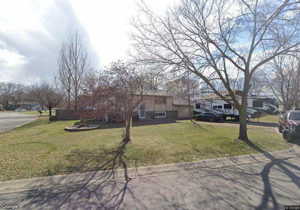
12114 Unity Cir NW Coon Rapids, MN 55448
Estimated Value: $325,567 - $334,000
4
Beds
2
Baths
960
Sq Ft
$343/Sq Ft
Est. Value
About This Home
This home is located at 12114 Unity Cir NW, Coon Rapids, MN 55448 and is currently estimated at $329,392, approximately $343 per square foot. 12114 Unity Cir NW is a home located in Anoka County with nearby schools including Sand Creek Elementary School, Northdale Middle School, and Blaine Senior High School.
Ownership History
Date
Name
Owned For
Owner Type
Purchase Details
Closed on
Nov 20, 2020
Sold by
Maki Heather L and Maki Andrew J
Bought by
Maki Andrew
Current Estimated Value
Home Financials for this Owner
Home Financials are based on the most recent Mortgage that was taken out on this home.
Original Mortgage
$207,570
Outstanding Balance
$184,708
Interest Rate
2.8%
Mortgage Type
FHA
Estimated Equity
$144,684
Purchase Details
Closed on
Apr 28, 2005
Sold by
Malinskiy Andrey M and Malinskiy Akhsa I
Bought by
Maki Heather and Maki Andrew
Home Financials for this Owner
Home Financials are based on the most recent Mortgage that was taken out on this home.
Original Mortgage
$195,850
Interest Rate
6.5%
Mortgage Type
FHA
Create a Home Valuation Report for This Property
The Home Valuation Report is an in-depth analysis detailing your home's value as well as a comparison with similar homes in the area
Home Values in the Area
Average Home Value in this Area
Purchase History
| Date | Buyer | Sale Price | Title Company |
|---|---|---|---|
| Maki Andrew | -- | Lendserv National Title Inc | |
| Maki Heather | $199,000 | -- |
Source: Public Records
Mortgage History
| Date | Status | Borrower | Loan Amount |
|---|---|---|---|
| Open | Maki Andrew | $207,570 | |
| Previous Owner | Maki Heather | $195,850 |
Source: Public Records
Tax History Compared to Growth
Tax History
| Year | Tax Paid | Tax Assessment Tax Assessment Total Assessment is a certain percentage of the fair market value that is determined by local assessors to be the total taxable value of land and additions on the property. | Land | Improvement |
|---|---|---|---|---|
| 2025 | $2,838 | $286,200 | $80,000 | $206,200 |
| 2024 | $2,838 | $278,400 | $81,000 | $197,400 |
| 2023 | $2,689 | $276,100 | $67,500 | $208,600 |
| 2022 | $2,353 | $279,700 | $63,000 | $216,700 |
| 2021 | $2,294 | $221,800 | $54,900 | $166,900 |
| 2020 | $2,324 | $212,100 | $55,800 | $156,300 |
| 2019 | $2,237 | $206,400 | $48,000 | $158,400 |
| 2018 | $2,530 | $194,100 | $0 | $0 |
| 2017 | $2,016 | $175,000 | $0 | $0 |
| 2016 | $1,836 | $154,300 | $0 | $0 |
| 2015 | $1,808 | $154,300 | $38,400 | $115,900 |
| 2014 | -- | $140,200 | $38,000 | $102,200 |
Source: Public Records
Map
Nearby Homes
- 11923 Wintergreen St NW
- 899 123rd Ln NW
- 11852 Yellow Pine St NW
- 12488 Unity St NW
- 633 Sand Creek Dr NW
- 12357 Magnolia St NW
- 12010 Eagle St NW
- 12463 Drake St NW
- 1625 124th Ave NW
- 1450 126th Ln NW
- 1727 121st Ln NW
- 1234 128th Cir NW
- 11640 Larch St NW
- 1593 126th Ln NW
- 12796 Bluebird St NW
- 12365 Jay St NW
- 1660 Northdale Blvd NW
- 12554 Grouse St NW
- 1520 129th Ave NW
- 12859 Grouse St NW
- 12126 Unity Cir NW
- 12102 Unity St NW
- 12103 Unity St NW
- 12117 Unity St NW
- 12138 Unity Cir NW
- 12174 Unity Cir NW
- 12131 Unity St NW
- 12156 Unity Cir NW
- 12150 Unity Cir NW
- 12162 Unity Cir NW
- 1034 121st Ln NW
- 1015 121st Ave NW
- 12156 12156 Unity-Circle-nw
- 12156 12156 Unity Cir NW
- 12086 Unity St NW
- 1020 121st Ln NW
- 12186 Unity St NW
- 1039 120th Ln NW
- 1006 121st Ln NW
- 1003 121st Ave NW