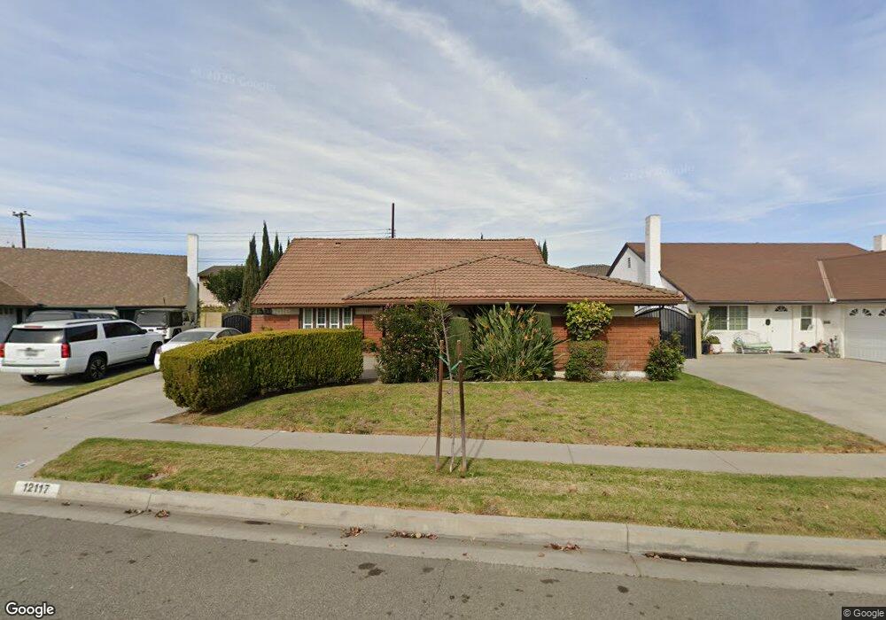
12117 Candor Dr Cerritos, CA 90703
Estimated Value: $1,059,080 - $1,202,000
4
Beds
3
Baths
2,282
Sq Ft
$498/Sq Ft
Est. Value
About This Home
This home is located at 12117 Candor Dr, Cerritos, CA 90703 and is currently estimated at $1,137,270, approximately $498 per square foot. 12117 Candor Dr is a home located in Los Angeles County with nearby schools including Nixon Academy, Haskell Stem Academy, and Gahr High School.
Ownership History
Date
Name
Owned For
Owner Type
Purchase Details
Closed on
Mar 21, 2008
Sold by
Mcdonald Kenneth A and Mc Donald Bennie J
Bought by
Mcdonald Kenneth A and Mc Donald Bennie J
Current Estimated Value
Home Financials for this Owner
Home Financials are based on the most recent Mortgage that was taken out on this home.
Original Mortgage
$110,200
Interest Rate
5.72%
Mortgage Type
New Conventional
Purchase Details
Closed on
Oct 26, 2001
Sold by
Mcdonald Kenneth A and Mcdonald Bennie J
Bought by
Mcdonald Kenneth A and Mcdonald Bennie J
Create a Home Valuation Report for This Property
The Home Valuation Report is an in-depth analysis detailing your home's value as well as a comparison with similar homes in the area
Home Values in the Area
Average Home Value in this Area
Purchase History
| Date | Buyer | Sale Price | Title Company |
|---|---|---|---|
| Mcdonald Kenneth A | -- | Orange Coast Title | |
| Mcdonald Kenneth A | -- | Orange Coast Title | |
| Mcdonald Kenneth A | -- | -- |
Source: Public Records
Mortgage History
| Date | Status | Borrower | Loan Amount |
|---|---|---|---|
| Closed | Mcdonald Kenneth A | $110,200 |
Source: Public Records
Tax History Compared to Growth
Tax History
| Year | Tax Paid | Tax Assessment Tax Assessment Total Assessment is a certain percentage of the fair market value that is determined by local assessors to be the total taxable value of land and additions on the property. | Land | Improvement |
|---|---|---|---|---|
| 2025 | $1,836 | $113,693 | $23,009 | $90,684 |
| 2024 | $1,836 | $111,464 | $22,558 | $88,906 |
| 2023 | $1,788 | $109,279 | $22,116 | $87,163 |
| 2022 | $11,197 | $945,000 | $660,000 | $285,000 |
| 2021 | $1,633 | $105,037 | $21,258 | $83,779 |
| 2019 | $1,602 | $101,924 | $20,629 | $81,295 |
| 2018 | $1,430 | $99,926 | $20,225 | $79,701 |
| 2016 | $1,344 | $96,048 | $19,441 | $76,607 |
| 2015 | $1,327 | $94,606 | $19,149 | $75,457 |
| 2014 | $1,312 | $92,753 | $18,774 | $73,979 |
Source: Public Records
Map
Nearby Homes
- 12132 Cambrian Cir
- 11974 Bos St
- 12361 Caravel Place
- 19518 Nancy Cir
- 19657 Sequoia Ave
- 18425 Devlin Ave
- 19127 Pioneer Blvd Unit 30
- 19127 Pioneer Blvd Unit 27
- 19127 Pioneer Blvd Unit SPC 23
- 19127 Pioneer Blvd Unit 9
- 18403 Devlin Ave
- 19609 Nicholas Ave
- 12360 Hedda Dr
- 18035 Horst Ave
- 19335 Derbyshire Ln
- 11702 Christy St
- 0 Parcel: 7016-014-017 Ave Unit PW25183248
- 11620 187th St
- 12711 Castleford Ln
- 12356 Reva St
- 12121 Candor Dr
- 12113 Candor Dr
- 12122 Hibbing St
- 12118 Hibbing St
- 12129 Candor Dr
- 12109 Candor Dr
- 19042 Ibex Ave
- 12106 Candor Dr
- 12112 Hibbing St
- 12120 Candor Dr
- 12133 Candor Dr
- 12065 Smokie Ln
- 12108 Hibbing St
- 12061 Smokie Ln
- 12102 Candor Dr
- 19036 Ibex Ave
- 12128 Candor Dr
- 12057 Smokie Ln
- 12111 Smokie Ln
- 12136 Cambrian Cir