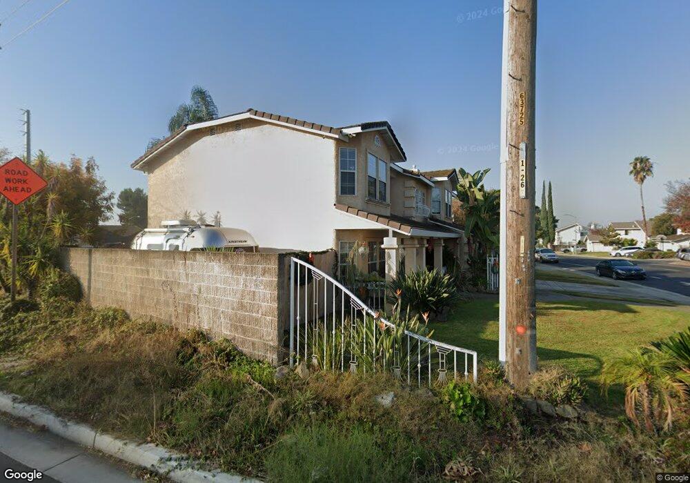
1212 Daniels St Manteca, CA 95337
Estimated Value: $435,000 - $698,000
4
Beds
3
Baths
2,629
Sq Ft
$236/Sq Ft
Est. Value
About This Home
This home is located at 1212 Daniels St, Manteca, CA 95337 and is currently estimated at $621,383, approximately $236 per square foot. 1212 Daniels St is a home located in San Joaquin County with nearby schools including Brock Elliott Elementary School and Sierra High School.
Ownership History
Date
Name
Owned For
Owner Type
Purchase Details
Closed on
Mar 8, 2007
Sold by
Candelaria Terri L
Bought by
Candelaria Daniel A
Current Estimated Value
Home Financials for this Owner
Home Financials are based on the most recent Mortgage that was taken out on this home.
Original Mortgage
$285,000
Outstanding Balance
$168,603
Interest Rate
5.85%
Mortgage Type
New Conventional
Estimated Equity
$452,780
Purchase Details
Closed on
Sep 22, 1994
Sold by
Gonsalves Junge Development
Bought by
Candelaria Daniel A and Candelaria Terri L
Home Financials for this Owner
Home Financials are based on the most recent Mortgage that was taken out on this home.
Original Mortgage
$188,000
Interest Rate
6.25%
Create a Home Valuation Report for This Property
The Home Valuation Report is an in-depth analysis detailing your home's value as well as a comparison with similar homes in the area
Home Values in the Area
Average Home Value in this Area
Purchase History
| Date | Buyer | Sale Price | Title Company |
|---|---|---|---|
| Candelaria Daniel A | -- | Stewart Title Of Ca Inc | |
| Candelaria Daniel A | $235,000 | North American Title Company |
Source: Public Records
Mortgage History
| Date | Status | Borrower | Loan Amount |
|---|---|---|---|
| Open | Candelaria Daniel A | $285,000 | |
| Closed | Candelaria Daniel A | $188,000 | |
| Closed | Candelaria Daniel A | $35,250 |
Source: Public Records
Tax History Compared to Growth
Tax History
| Year | Tax Paid | Tax Assessment Tax Assessment Total Assessment is a certain percentage of the fair market value that is determined by local assessors to be the total taxable value of land and additions on the property. | Land | Improvement |
|---|---|---|---|---|
| 2025 | $4,399 | $394,681 | $83,973 | $310,708 |
| 2024 | $4,276 | $386,943 | $82,327 | $304,616 |
| 2023 | $4,224 | $379,357 | $80,713 | $298,644 |
| 2022 | $4,807 | $371,920 | $79,131 | $292,789 |
| 2021 | $4,762 | $364,629 | $77,580 | $287,049 |
| 2020 | $4,595 | $360,891 | $76,785 | $284,106 |
| 2019 | $4,544 | $353,816 | $75,280 | $278,536 |
| 2018 | $4,492 | $346,879 | $73,804 | $273,075 |
| 2017 | $4,437 | $340,078 | $72,357 | $267,721 |
| 2016 | $4,345 | $333,411 | $70,939 | $262,472 |
| 2014 | $3,777 | $293,000 | $62,000 | $231,000 |
Source: Public Records
Map
Nearby Homes
- 1188 Merganser Place
- 938 Snowgoose Ln
- 1121 Wawona St
- 889 Magrath Ave
- 1338 Alfa Romeo Ct
- 819 Wawona St
- 1015 Tenaya Ct
- 883 El Dorado St
- 1148 Silver Brook Place
- 1432 Meridian St
- 660 Tahoe St
- 1164 Marion St
- 628 Mission Ridge Dr
- 516 Carrigane Way
- 612 Martha St
- 1676 Red Ribbons Ln
- 1161 Champagne Ln
- 396 Postma St
- 1435 W Woodward Ave
- 516 S Veach Ave