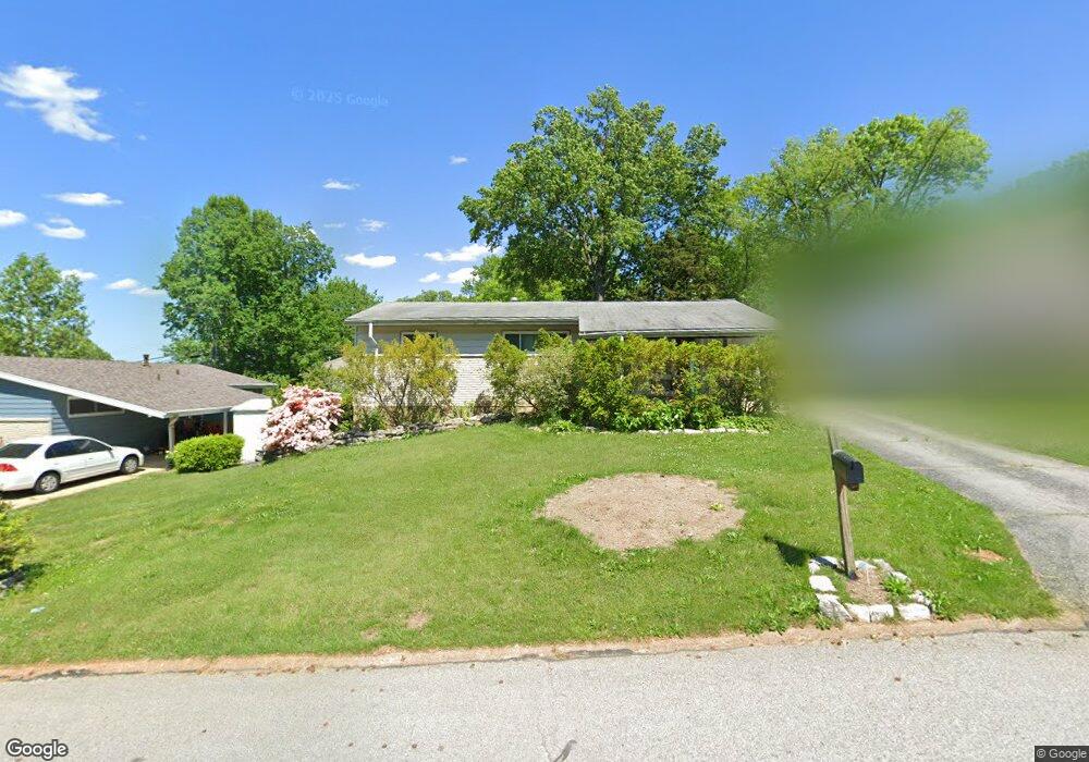
1212 Fernleaf Dr Saint Louis, MO 63126
Estimated Value: $263,000 - $301,000
3
Beds
1
Bath
1,382
Sq Ft
$200/Sq Ft
Est. Value
About This Home
This home is located at 1212 Fernleaf Dr, Saint Louis, MO 63126 and is currently estimated at $277,002, approximately $200 per square foot. 1212 Fernleaf Dr is a home located in St. Louis County with nearby schools including George R. Robinson Elementary School, Nipher Middle School, and Kirkwood Senior High School.
Ownership History
Date
Name
Owned For
Owner Type
Purchase Details
Closed on
Oct 15, 1998
Sold by
Lambur Susan C
Bought by
Hannibal Karl E and Hannibal Denise M
Current Estimated Value
Home Financials for this Owner
Home Financials are based on the most recent Mortgage that was taken out on this home.
Original Mortgage
$95,000
Outstanding Balance
$20,280
Interest Rate
6.61%
Estimated Equity
$256,722
Create a Home Valuation Report for This Property
The Home Valuation Report is an in-depth analysis detailing your home's value as well as a comparison with similar homes in the area
Home Values in the Area
Average Home Value in this Area
Purchase History
| Date | Buyer | Sale Price | Title Company |
|---|---|---|---|
| Hannibal Karl E | $100,000 | -- |
Source: Public Records
Mortgage History
| Date | Status | Borrower | Loan Amount |
|---|---|---|---|
| Open | Hannibal Karl E | $95,000 |
Source: Public Records
Tax History Compared to Growth
Tax History
| Year | Tax Paid | Tax Assessment Tax Assessment Total Assessment is a certain percentage of the fair market value that is determined by local assessors to be the total taxable value of land and additions on the property. | Land | Improvement |
|---|---|---|---|---|
| 2025 | $2,893 | $46,490 | $21,090 | $25,400 |
| 2024 | $2,893 | $41,540 | $13,550 | $27,990 |
| 2023 | $2,675 | $41,540 | $13,550 | $27,990 |
| 2022 | $2,350 | $32,470 | $15,050 | $17,420 |
| 2021 | $2,142 | $32,470 | $15,050 | $17,420 |
| 2020 | $2,103 | $30,730 | $13,550 | $17,180 |
| 2019 | $2,097 | $30,730 | $13,550 | $17,180 |
| 2018 | $2,039 | $27,070 | $8,700 | $18,370 |
| 2017 | $2,017 | $27,070 | $8,700 | $18,370 |
| 2016 | $2,060 | $28,020 | $7,750 | $20,270 |
| 2015 | $2,071 | $28,020 | $7,750 | $20,270 |
| 2014 | $1,875 | $25,060 | $6,780 | $18,280 |
Source: Public Records
Map
Nearby Homes
- 556 Joshua Dr
- 1305 Spellman Ave
- 1120 Tahiti Dr
- 745 Montego Dr
- 503 Acorn Dr
- 421 Spears St
- 367 Memphis St
- 362 Memphis St
- 405 Rayburn Ave
- 338 Memphis St
- 318 Chicago St
- 322 Chicago St
- 343 Memphis St
- 401 Rayburn Ave
- 1412 Windward Ridge Dr
- 301 Memphis St
- 341 New York St
- 0 Unknown Unit MIS25067424
- 8726 Gayle Ave
- 9810 Big Bend Blvd
- 1208 Fernleaf Dr
- 1216 Fernleaf Dr
- 1204 Fernleaf Dr
- 1229 Capri Dr
- 1220 Fernleaf Dr
- 1235 Capri Dr
- 1223 Capri Dr
- 1215 Fernleaf Dr
- 1211 Fernleaf Dr
- 1241 Capri Dr
- 1207 Fernleaf Dr
- 1217 Capri Dr
- 1200 Fernleaf Dr
- 1224 Fernleaf Dr
- 555 Aspen Dr
- 1245 Capri Dr
- 1213 Capri Dr
- 566 Aspen Dr
- 562 Aspen Dr
- 569 Joshua Dr