1212 Hook Dr Middletown, DE 19709
Estimated Value: $503,000 - $574,000
3
Beds
3
Baths
2,539
Sq Ft
$211/Sq Ft
Est. Value
About This Home
This home is located at 1212 Hook Dr, Middletown, DE 19709 and is currently estimated at $535,230, approximately $210 per square foot. 1212 Hook Dr is a home with nearby schools including Lorewood Grove Elementary School, Cantwell's Bridge Middle School, and Odessa High School.
Ownership History
Date
Name
Owned For
Owner Type
Purchase Details
Closed on
Apr 25, 2022
Sold by
Daniel Dempsey
Bought by
Dempsey Daniel and Dempsey Mary Thornton
Current Estimated Value
Home Financials for this Owner
Home Financials are based on the most recent Mortgage that was taken out on this home.
Original Mortgage
$142,678
Outstanding Balance
$134,238
Interest Rate
5.27%
Estimated Equity
$400,992
Purchase Details
Closed on
Jun 24, 2019
Sold by
Dempsey Daniel and Dempsey Jessica
Bought by
Dempsey Daniel
Home Financials for this Owner
Home Financials are based on the most recent Mortgage that was taken out on this home.
Original Mortgage
$339,400
Interest Rate
4%
Mortgage Type
New Conventional
Purchase Details
Closed on
Dec 22, 2017
Sold by
Nvr Inc
Bought by
Dempsey Daniel and Dempsey Jessica
Home Financials for this Owner
Home Financials are based on the most recent Mortgage that was taken out on this home.
Original Mortgage
$301,668
Interest Rate
3.95%
Mortgage Type
New Conventional
Purchase Details
Closed on
Sep 8, 2017
Sold by
High Hook Farm Llc
Bought by
Nvr Inc
Create a Home Valuation Report for This Property
The Home Valuation Report is an in-depth analysis detailing your home's value as well as a comparison with similar homes in the area
Home Values in the Area
Average Home Value in this Area
Purchase History
| Date | Buyer | Sale Price | Title Company |
|---|---|---|---|
| Dempsey Daniel | -- | None Listed On Document | |
| Dempsey Daniel | -- | None Available | |
| Dempsey Daniel | -- | None Available | |
| Nvr Inc | -- | None Available |
Source: Public Records
Mortgage History
| Date | Status | Borrower | Loan Amount |
|---|---|---|---|
| Open | Dempsey Daniel | $142,678 | |
| Open | Dempsey Daniel | $318,750 | |
| Previous Owner | Dempsey Daniel | $339,400 | |
| Previous Owner | Dempsey Daniel | $301,668 |
Source: Public Records
Tax History
| Year | Tax Paid | Tax Assessment Tax Assessment Total Assessment is a certain percentage of the fair market value that is determined by local assessors to be the total taxable value of land and additions on the property. | Land | Improvement |
|---|---|---|---|---|
| 2024 | $4,427 | $102,300 | $10,300 | $92,000 |
| 2023 | $3,797 | $102,300 | $10,300 | $92,000 |
| 2022 | $3,807 | $102,300 | $10,300 | $92,000 |
| 2021 | $3,761 | $102,300 | $10,300 | $92,000 |
| 2020 | $3,719 | $102,300 | $10,300 | $92,000 |
| 2019 | $3,510 | $102,300 | $10,300 | $92,000 |
| 2018 | $3,342 | $102,300 | $10,300 | $92,000 |
| 2017 | $160 | $5,100 | $5,100 | $0 |
| 2016 | $6 | $5,100 | $5,100 | $0 |
| 2015 | $6 | $5,100 | $5,100 | $0 |
| 2014 | -- | $5,100 | $5,100 | $0 |
Source: Public Records
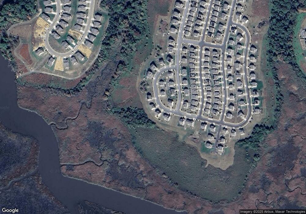
Map
Nearby Homes
- 505 Cherry Bark Rd
- 507 Cherry Bark Rd
- 338 Tiger Lily Dr
- 602 Barrie Rd
- 798 Honey Locust Rd
- 400 Rederick Ln Unit 3 BENNETT
- 400 Rederick Ln Unit 2 OXFORD
- 400 Rederick Ln Unit 4 SASSAFRAS II
- 400 Rederick Ln Unit 1 GREENSPRING
- 400 Rederick Ln Unit 5 EDEN II
- 1222 Carrick Ct
- 663 Gordon House Way
- 642 Gordon House Way
- 1300 Carrick Ct Unit MASSEY ELITE MODEL
- 442 Rederick Ln Unit MASSEY ELITE LOT 70
- 442 Rederick Ln
- 435 Rederick Ln
- 1341 Carrick Ct
- 444 Rederick Ln Unit MASSEY LOT 69
- 446 Rederick Ln Unit MASSEY LOT 68
Your Personal Tour Guide
Ask me questions while you tour the home.