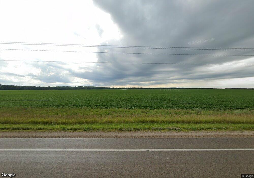
Estimated Value: $370,000
3
Beds
1
Bath
1,500
Sq Ft
$247/Sq Ft
Est. Value
About This Home
This home is located at 1212 Kenneth St, Osage, MN 56570 and is currently estimated at $370,000, approximately $246 per square foot. 1212 Kenneth St is a home with nearby schools including Century Elementary School, Century School, and Park Rapids Area High School.
Ownership History
Date
Name
Owned For
Owner Type
Purchase Details
Closed on
Dec 3, 2022
Sold by
Robinson J William J and Robinson John E
Bought by
State Of Minnesota
Current Estimated Value
Purchase Details
Closed on
Jul 3, 2019
Sold by
Anderson James R and Anderson Abby
Bought by
Groninga Stevie
Purchase Details
Closed on
Dec 13, 2013
Sold by
Robinson Louise L and Robinson William J
Bought by
Robinson J William and Robinson Louise L
Create a Home Valuation Report for This Property
The Home Valuation Report is an in-depth analysis detailing your home's value as well as a comparison with similar homes in the area
Home Values in the Area
Average Home Value in this Area
Purchase History
| Date | Buyer | Sale Price | Title Company |
|---|---|---|---|
| State Of Minnesota | $2,000 | -- | |
| Groninga Stevie | $143,000 | -- | |
| Robinson J William | -- | None Available | |
| Robinson Louise L | -- | None Available | |
| Robinson J William | -- | None Available |
Source: Public Records
Tax History Compared to Growth
Tax History
| Year | Tax Paid | Tax Assessment Tax Assessment Total Assessment is a certain percentage of the fair market value that is determined by local assessors to be the total taxable value of land and additions on the property. | Land | Improvement |
|---|---|---|---|---|
| 2025 | $2,352 | $478,300 | $424,300 | $54,000 |
| 2024 | $1,966 | $388,400 | $333,300 | $55,100 |
| 2023 | $2,214 | $369,800 | $324,700 | $45,100 |
| 2022 | $2,008 | $297,000 | $262,200 | $34,800 |
| 2021 | $1,916 | $280,400 | $254,000 | $26,400 |
| 2020 | $1,918 | $280,400 | $254,000 | $26,400 |
| 2019 | $1,872 | $276,500 | $250,100 | $26,400 |
| 2018 | $1,808 | $266,900 | $231,300 | $35,600 |
| 2017 | $2,008 | $258,600 | $223,700 | $34,900 |
| 2016 | $2,068 | $255,300 | $213,100 | $42,200 |
| 2015 | -- | $261,800 | $224,000 | $37,800 |
| 2014 | -- | $251,900 | $215,400 | $36,500 |
Source: Public Records
Map
Nearby Homes
- 54738 Sunset St
- 25266 Oak Knoll Trail
- TBD Xxx
- 23941 Old Mill Rd
- 26603 W Straight Lake Ave
- 25703 County Road 125
- 19000 County Road 47
- 56460 198 St
- 52568 180th St
- TBD 290th St
- 18480 N Blueberry Rd
- 46824 Foss Rd
- TBD Bass Lake Rd
- 22623 Bass Lake Rd
- TBD County Highway 39
- 0 Tbd Bass Lake Rd Unit LotWP001
- 13737 109th Ave
- 11100 Fisher Ln
- 46567 Co Hwy 26
- 46567 County Highway 26
- 23805 Old Saw Mill Rd
- 23436 County Highway 47
- 23493 County Highway 47
- 23365 County Highway 47
- 53351 State Highway 34
- 23455 County Highway 47
- 53382 Shell River Trail
- 53382 Shell River Trail
- 23309 County Highway 47
- 0 Highway 225-- Unit 3545065
- 23395 County Highway 47
- 23492 County Highway 47
- 23305 County Highway 47
- 23355 County Highway 47
- 53186 Shell River Trail
- 54265 State Highway 34
- 0 Smoky Hills Path Unit 20-29801
- 54321 State Highway 34
- 54472 State Highway 34
- 54485 State Highway 34
