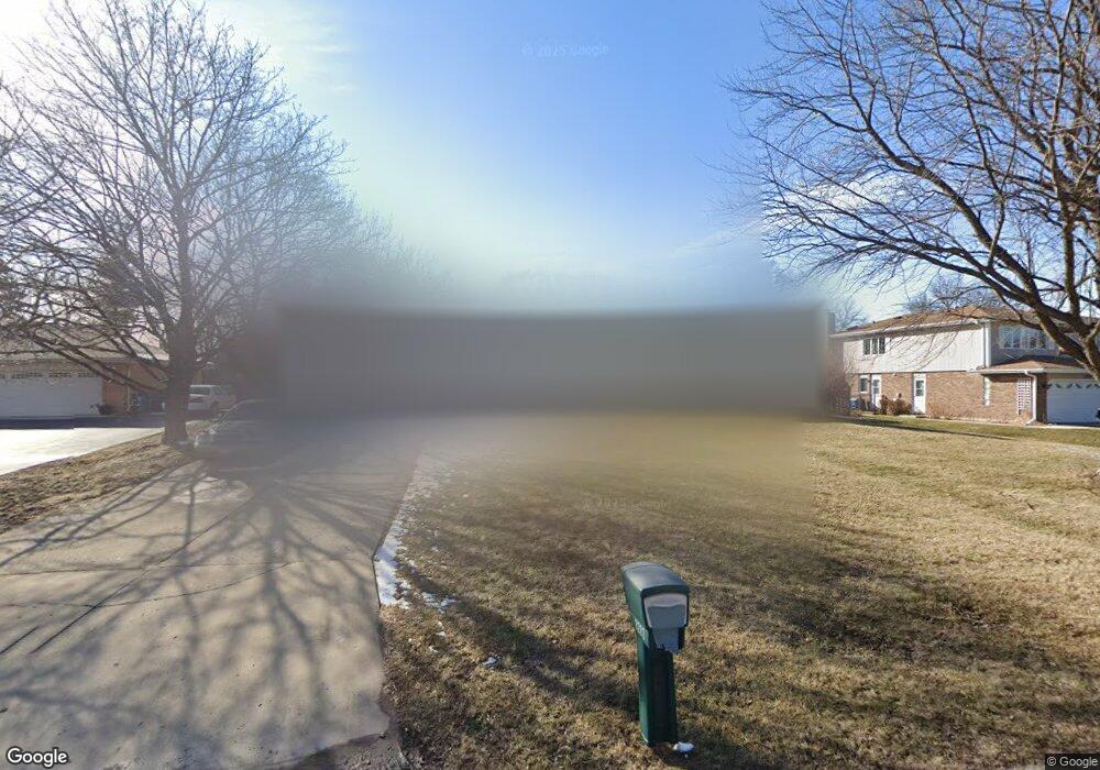
1212 Mohawk Ct Schaumburg, IL 60193
South Schaumburg NeighborhoodEstimated Value: $490,000 - $606,000
4
Beds
3
Baths
2,425
Sq Ft
$224/Sq Ft
Est. Value
About This Home
This home is located at 1212 Mohawk Ct, Schaumburg, IL 60193 and is currently estimated at $543,758, approximately $224 per square foot. 1212 Mohawk Ct is a home located in Cook County with nearby schools including Frederick Nerge Elementary School, Margaret Mead Junior High School, and J B Conant High School.
Ownership History
Date
Name
Owned For
Owner Type
Purchase Details
Closed on
Oct 9, 1996
Sold by
Green Michael T and Green Rita C
Bought by
Hyde David F and Hyde Rochelle L
Current Estimated Value
Home Financials for this Owner
Home Financials are based on the most recent Mortgage that was taken out on this home.
Original Mortgage
$153,750
Outstanding Balance
$11,314
Interest Rate
8.44%
Estimated Equity
$532,444
Create a Home Valuation Report for This Property
The Home Valuation Report is an in-depth analysis detailing your home's value as well as a comparison with similar homes in the area
Home Values in the Area
Average Home Value in this Area
Purchase History
| Date | Buyer | Sale Price | Title Company |
|---|---|---|---|
| Hyde David F | $210,000 | -- |
Source: Public Records
Mortgage History
| Date | Status | Borrower | Loan Amount |
|---|---|---|---|
| Open | Hyde David F | $153,750 |
Source: Public Records
Tax History
| Year | Tax Paid | Tax Assessment Tax Assessment Total Assessment is a certain percentage of the fair market value that is determined by local assessors to be the total taxable value of land and additions on the property. | Land | Improvement |
|---|---|---|---|---|
| 2025 | $10,276 | $50,001 | $9,032 | $40,969 |
| 2024 | $10,276 | $40,000 | $8,028 | $31,972 |
| 2023 | $9,937 | $40,000 | $8,028 | $31,972 |
| 2022 | $9,937 | $40,000 | $8,028 | $31,972 |
| 2021 | $7,091 | $26,725 | $22,578 | $4,147 |
| 2020 | $7,541 | $28,417 | $22,578 | $5,839 |
| 2019 | $7,544 | $31,575 | $22,578 | $8,997 |
| 2018 | $8,621 | $32,161 | $19,066 | $13,095 |
| 2017 | $9,020 | $33,911 | $19,066 | $14,845 |
| 2016 | $9,430 | $33,911 | $19,066 | $14,845 |
| 2015 | $8,936 | $29,997 | $16,056 | $13,941 |
| 2014 | $8,854 | $29,997 | $16,056 | $13,941 |
| 2013 | $8,606 | $29,997 | $16,056 | $13,941 |
Source: Public Records
Map
Nearby Homes
- 518 E Niagara Ave
- 1055 Hampton Harbor Unit 1055
- 620 S Point Dr
- 1100 Boston Harbor Unit 7004
- 1134 Jamestown Ct
- 615 Newberry Dr
- 826 Thornton Ct Unit 2AL
- 539 Newberry Dr
- 1323 S Roselle Rd
- 13 W Monterey Ave
- 277 Greensboro Ct Unit 4
- 647 Cumberland Trail Unit AA1
- 609 Deborah Ct
- 517 E Weathersfield Way
- 970 Yosemite Trail Unit A5
- 1630 Myrtle Park St
- 134 Lunt Ave
- 1749 Vermont Dr
- 100 Pratt Blvd
- 217 Steeple Bush Ln Unit 10242
- 1218 Mohawk Ct
- 1200 Mohawk Ct
- 511 E Wise Rd
- 1224 Mohawk Ct
- 505 E Wise Rd Unit 2
- 1215 Mohawk Ct
- 1201 Mohawk Ct
- 1221 Mohawk Ct
- 508 E Niagara Ave
- 1150 Blackhawk Ct
- 1147 Hampshire Ct Unit 1
- 1227 Mohawk Ct
- 501 E Wise Rd
- 504 E Niagara Ave
- 1204 Salford Dr
- 1208 Salford Dr
- 1147 Blackhawk Ct
- 1200 Salford Dr
- 1150 Hampshire Ct
- 1212 Salford Dr
Your Personal Tour Guide
Ask me questions while you tour the home.